
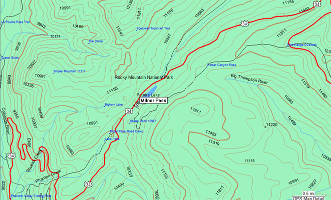
Milner Pass
|
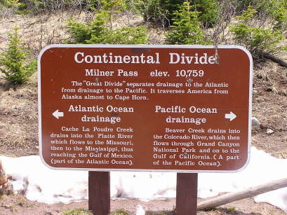
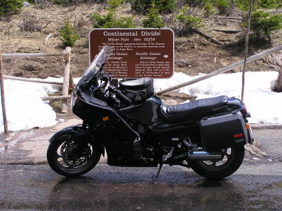
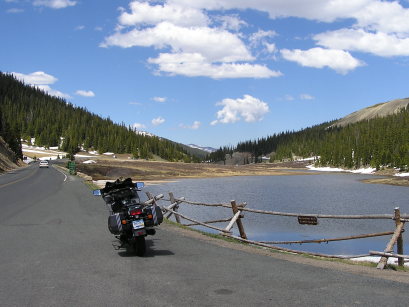
Milner Pass |
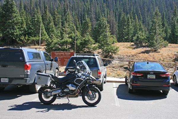
Milner Pass - Grand/Larimer Counties - Colorado - 10,758 feet - On the Continental Divide
(other names - Bihhle-Thoson, Deer, Miner)
Colorado River to west. Cache la Poudre River to east.
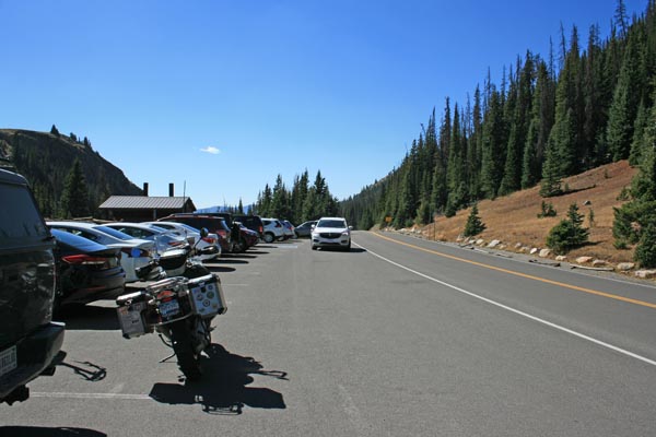
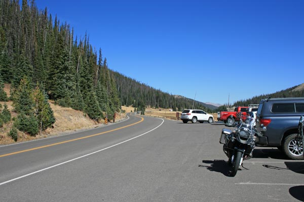
US-34 in Rocky Mountain National Park
pavement - road bike
photos by Randy Bishop, 9/26/2018
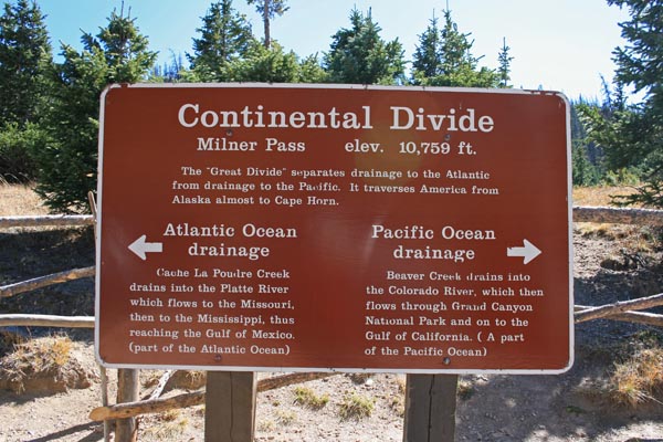
At the summit. |
At the summit. |
At the summit, looking west. |
At the summit, looking east. |
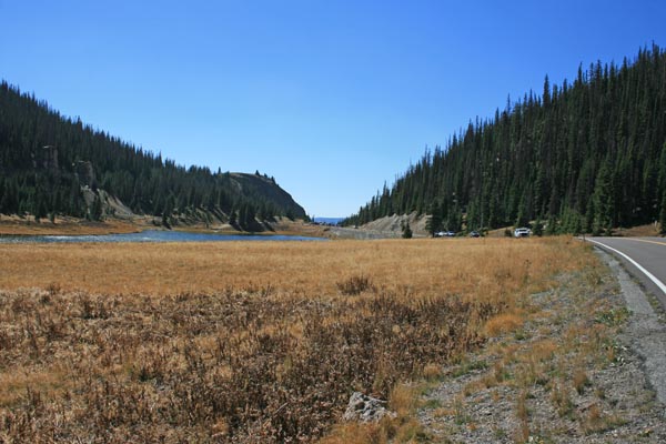
East of the summit, looking west. |
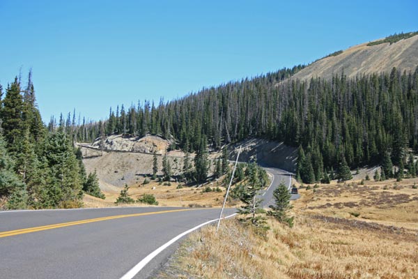
East of the summit, looking east. |
At the summit. |
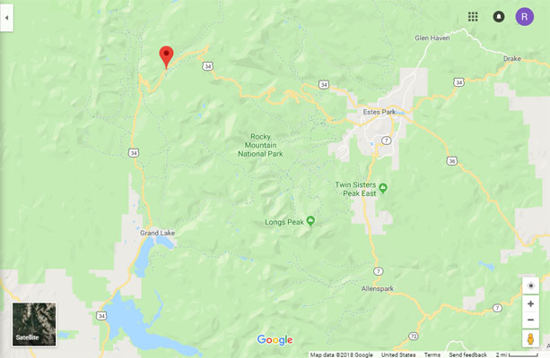
Google Maps |
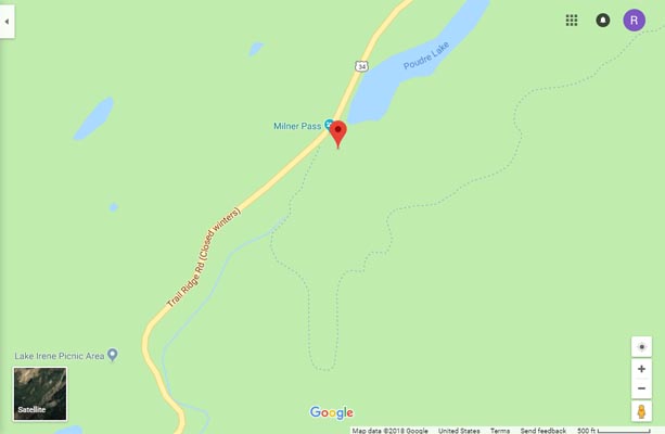
Google Maps |
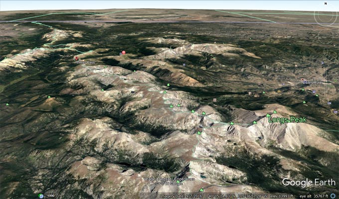
Google Earth |
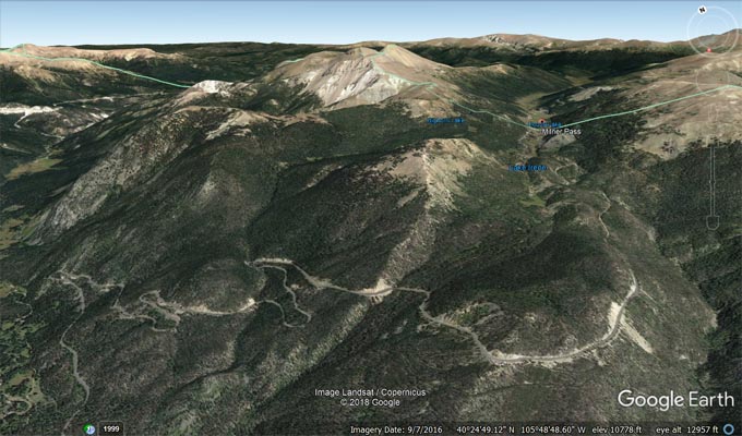
Google Earth |
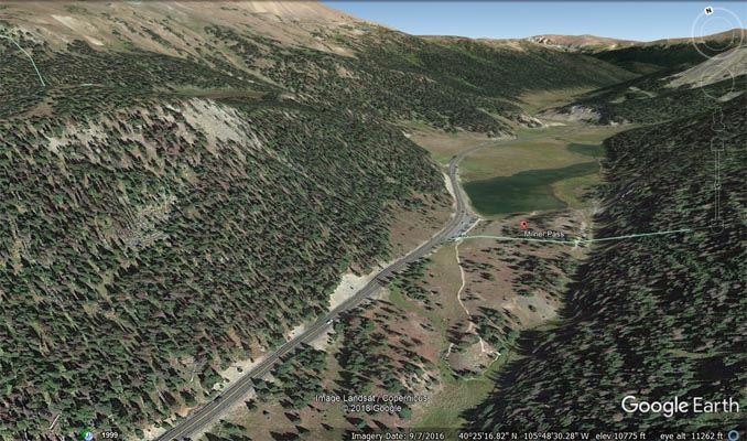
Google Earth |
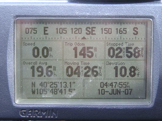
Garmin Mapsource |
#19 - photos by Randy Bishop, 06/18/2005
At the summit. |
At the summit. |
At the summit, looking east. |
photo by Randy Bishop, 6/15/1998

At the summit. Everyone was smiling as we drove by with the top down (and the heater on full blast). |
| Feature Name | ID | Class | County | State | Latitude | Longitude | Ele(ft) | Map | BGN Date | Entry Date |
| Milner Pass | 177509 | Gap | Grand | CO | 402511N | 1054841W | 10758 | Fall River Pass | 01-JAN-1932 | 13-OCT-1978 |