
Monarch Pass
|
Monarch Pass |
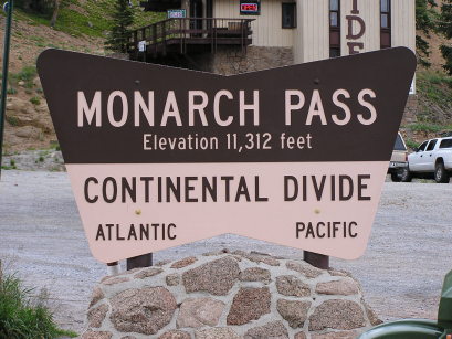
Monarch Pass - Chaffee / Gunnison Counties - Colorado - 11,312 feet - On the Continental Divide
(other name - Agate)
North Fork Agate Creek to west, South Arkansas River to east.
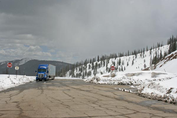
US-50 west of Poncha Springs
pavement - road bike
photos by Randy Bishop, 5/11/2019
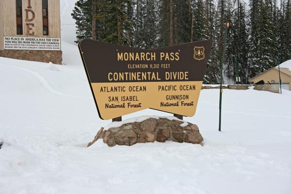
At the summit. |
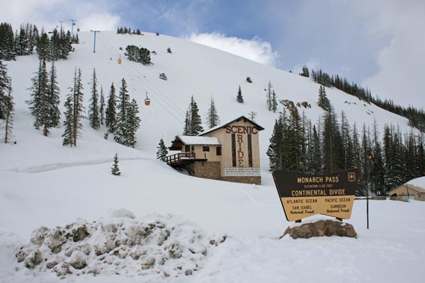
At the summit. |
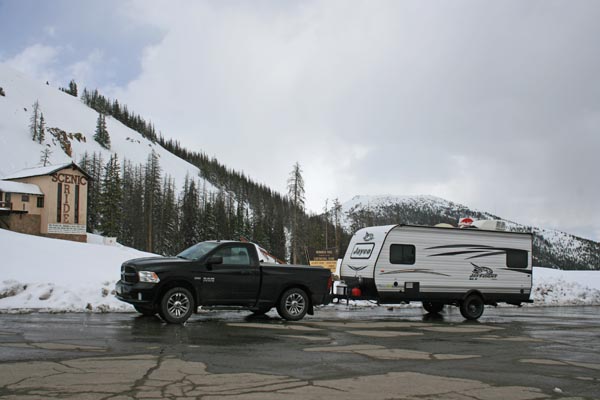
At the summit. 2013 Ram 1500 5.7L |
At the summit. |
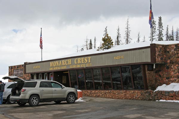
At the summit, looking south. |

At the summit, looking north. |
At the summit. |
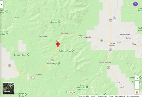
Google Maps |
Google Maps |
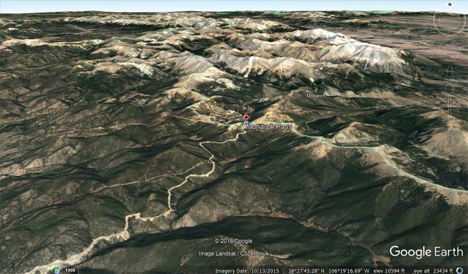
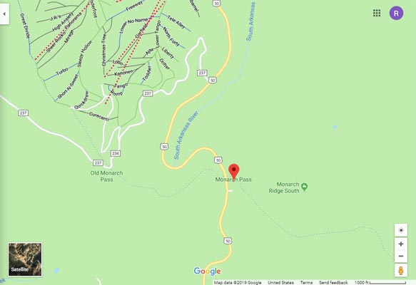
Google Earth |
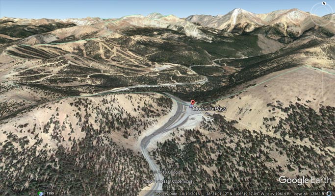
Google Earth |
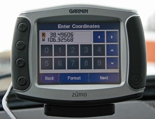
Garmin MapSource |
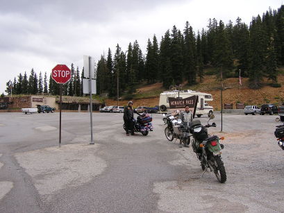
#71 for BMW Motorcycle Club of Colorado, Pass Bagger 100 - photos by Randy Bishop, 08/12/2006
At the summit. |
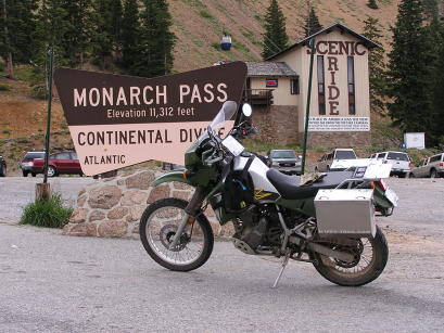
At the summit. 2002 Kawasaki KLR650 |
At the summit. |
photo by Randy Bishop, 8/2/1990
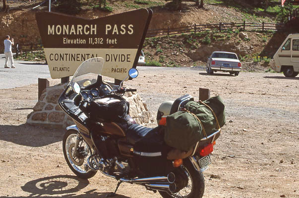
At the summit. 1981 Honda CB750K |
photos by Ken Bishop, 9/1955
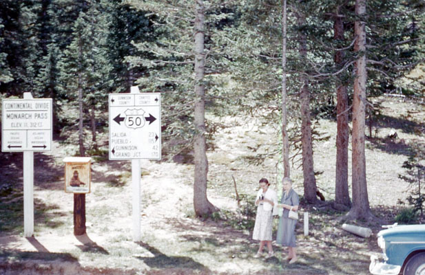
Ada, Crilla |
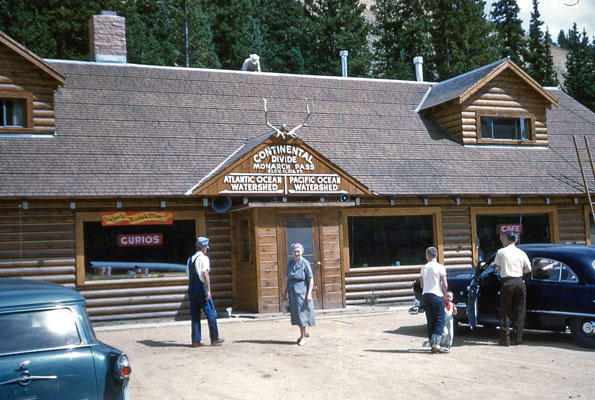
Crilla |
At the summit. |
At the summit. |
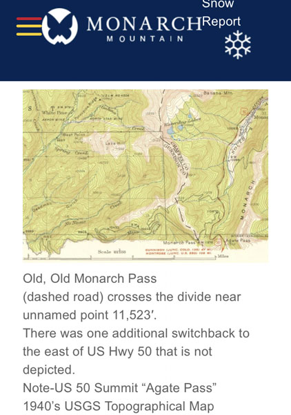
US-50 and Monarch Pass History
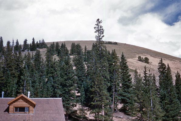
Notes from Monarch Mountain ski area. |
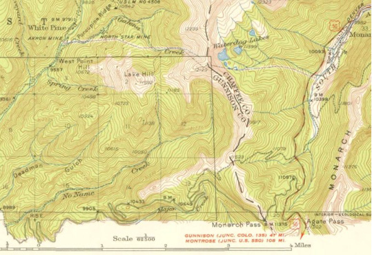
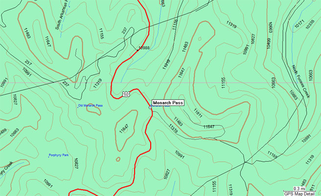
1940s USGS Topographic Map shows current summit (red/white line), old summit (gray line), original summit (small gray dashes) |

US-50 and Monarch Pass History |
| Feature Name | ID | Class | County | State | Latitude | Longitude | Ele(ft) | Map | BGN Date | Entry Date |
| Monarch Pass | 189720 | Gap | Chaffee | CO | 392948N | 1061932W | 11306 | Pahlone Peak | 01-JAN-1945 | 13-OCT-1978 |
| Feature Name | ID | Class | County | State | Latitude | Longitude | Ele(ft) | Map | BGN Date | Entry Date |
| Old Monarch Pass | 189721 | Gap | Chaffee | CO | 382948N | 1062017W | 11365 | Pahlone Peak | 01-JAN-1945 | 13-OCT-1978 |
| Original Monarch Pass | 1675537 | Gap | Chaffee | CO | 383041N | 1062049W | 11532 | Garfield | 01-JAN-1996 | 13-OCT-1978 |