
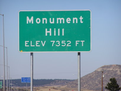
Monument Hill Divide
|
Monument Hill Divide |
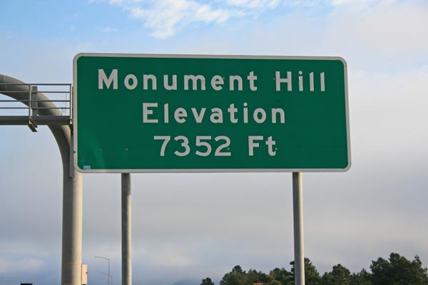
Monument Hill Divide - Douglas / El Paso Counties - Colorado - 7,352 feet
Other names: Arkansas Divide, Black Forest Divide, Colorado Divide, Lake Pass, Palmer Divide
South Platte River to north, Arkansas River to south.
I-25 north of Monument
pavement - road bike
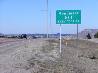
photos by Randy Bishop, 9/16/2017
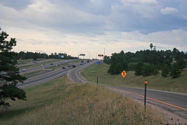
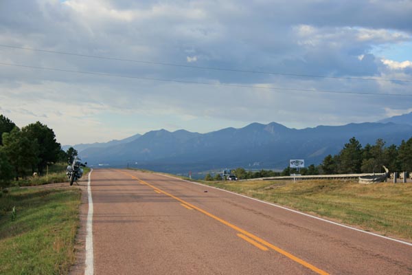
At I-25 exit 163, looking south toward the summit. |
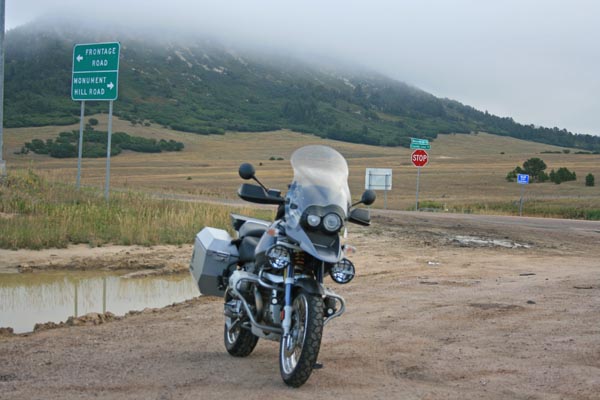
On east side of I-25 exit 163, at corner of County Line Rd and Monument Hill Rd. |
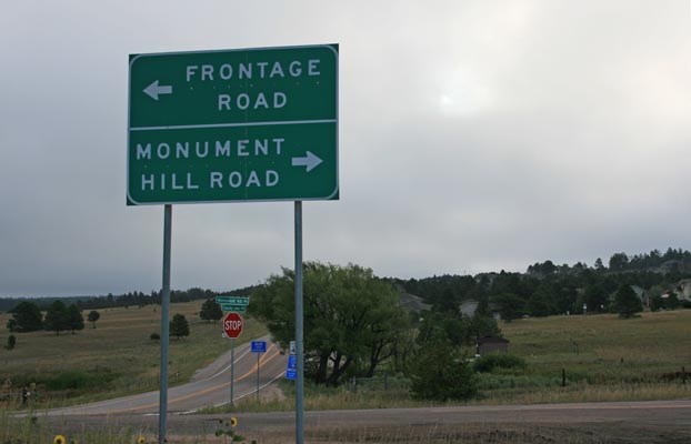
On east side of I-25 exit 163, at corner of County Line Rd and Monument Hill Rd. |
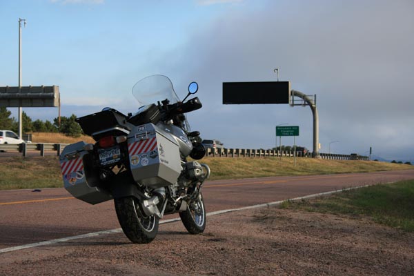
At summit on Monument Hill Rd, looking north. |
At summit on Monument Hill Rd, looking north. |
At summit on Monument Hill Rd, looking south. |

At the summit. |
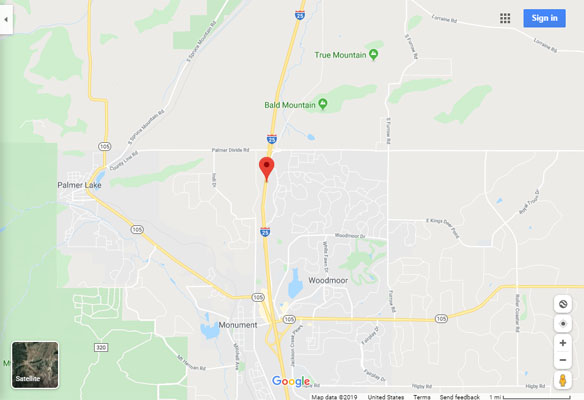
Google Maps |
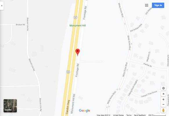
Google Maps |
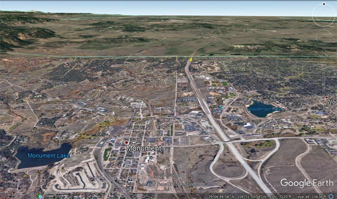
Google Earth |
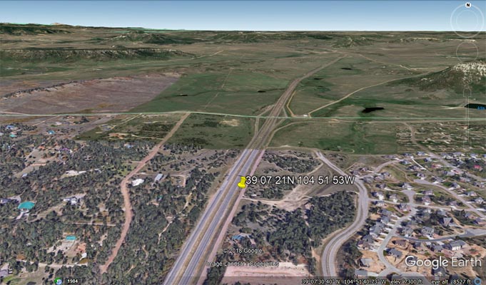
Google Earth |
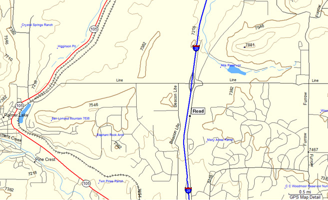
Garmin MapSource |
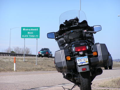
#8 - photos by Randy Bishop, 3/12/2005
At the summit. |
At the summit. |
Looking north at the summit |
Note: Photos can easily be taken along Monument Hill Road, the frontage road on the east side of I-25.