
Moon Pass
|
Moon Pass |
Moon Pass - Saguache County - Colorado - 10,580 feet
Moon Creek to north. South Fork Carnero Creek to south.
FR-675 (FR-M33) southwest of Saguache
gravel - dual sport
#89 - photos by Randy Bishop, 7/5/2007
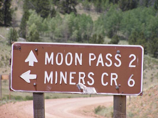
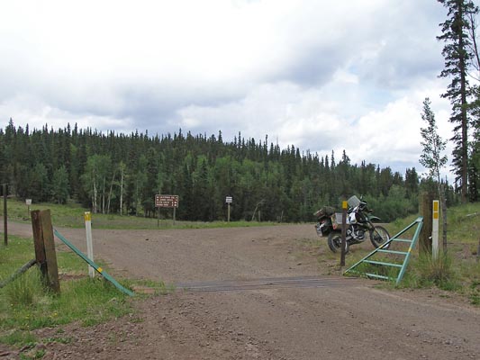
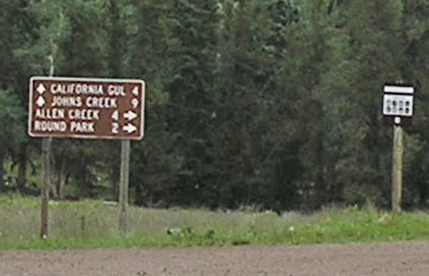
2 miles east of summit. |
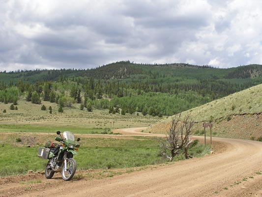
2 miles east of summit. |
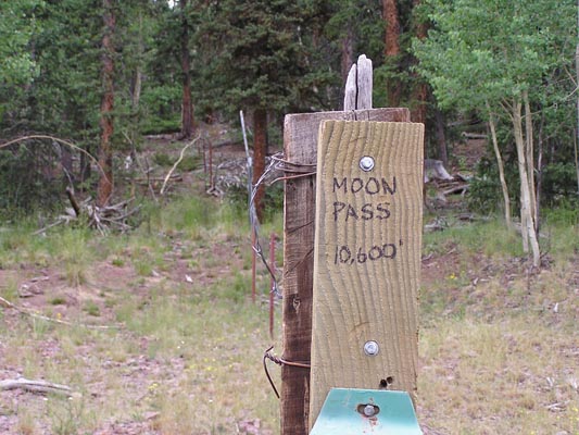
At the summit. |
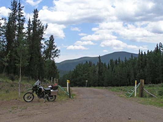
At the summit, looking south. |
At the summit, looking north. |
At the summit, looking north. |
At the summit. |
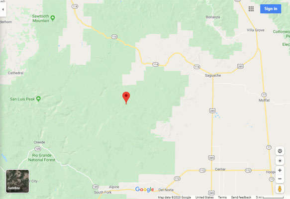
Google Maps |
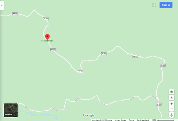
Google Maps |
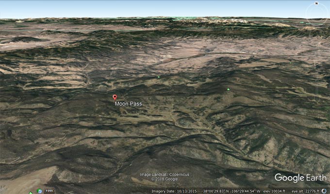
Google Earth |
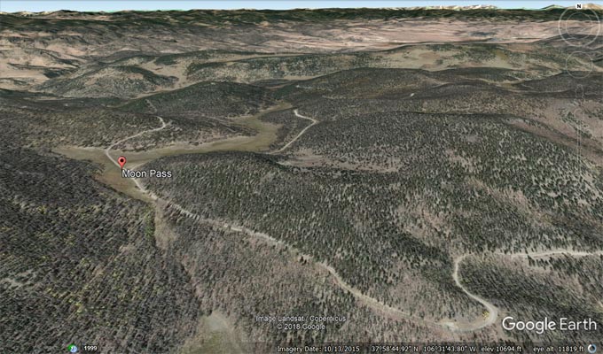
Google Earth |
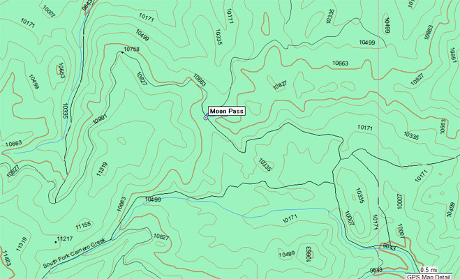
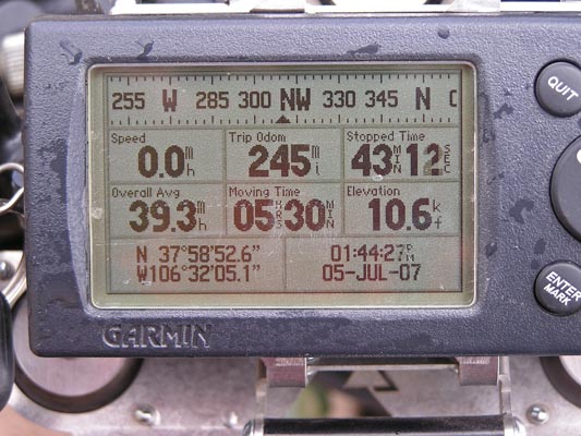
Garmin MapSource |
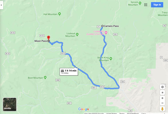
Google Maps, Carnero to Moon |
| Feature Name | ID | Class | County | State | Latitude | Longitude | Ele(ft) | Map | BGN Date | Entry Date |
| Moon Pass | 189509 | Gap | Saguache | CO | 375853N | 1063206W | 10571 | Bowers Peak | - | 13-OCT-1978 |
| Feature Name | ID | Class | County | State | Latitude | Longitude | Ele(ft) | Map | BGN Date | Entry Date |
| Moon Creek | 190183 | Stream | Saguache | CO | 380035N | 1063315W | 9541 | Grouse Creek | - | 13-OCT-1978 |