
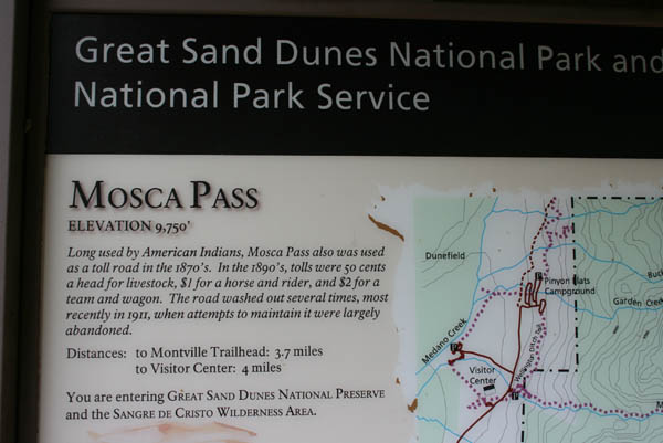
Mosca Pass
|
Mosca Pass |
Mosca Pass - Alamosa / Huerfano Counties - Colorado - 9,750 feet
Mosca Creek to west. May Creek to east.
West of CO-69 and Gardner via CR-550, CR-580, CR-581 and FR-583.
East side - about 6 miles paved, 12 miles gravel - road bike, but dual sport better.
West side - hiking trail in Great Sand Dunes National Park.
photos by Karst Postma, 7/16/2014

At the summit looking west. |

At the summit looking north. |
At the summit looking east. |

At the summit. |

At the summit. |
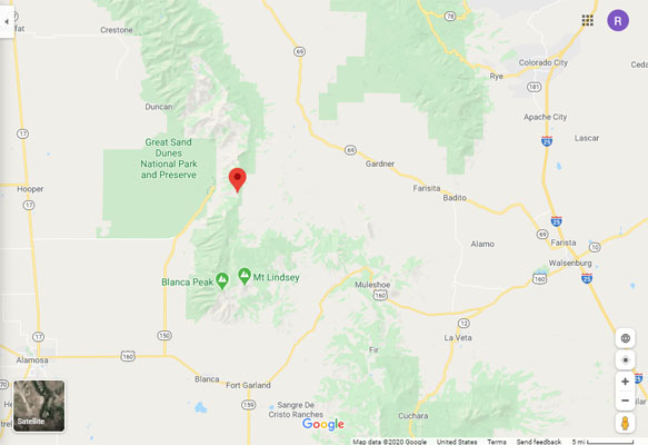
Google Maps |
Google Maps |
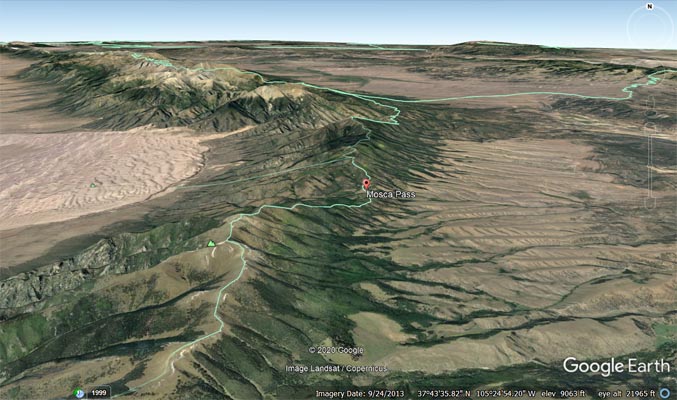
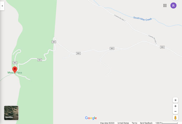
Google Earth |
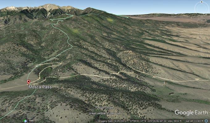
Google Earth |
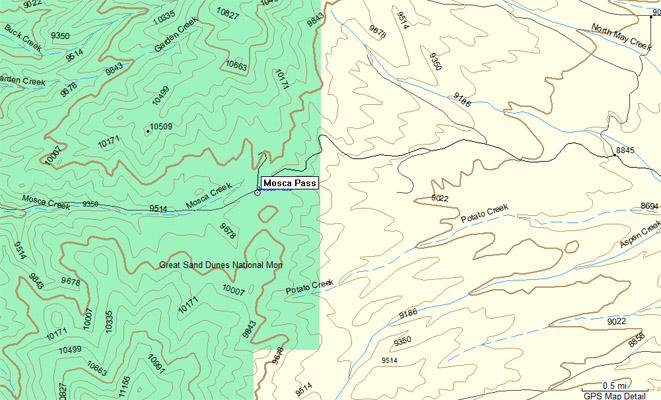
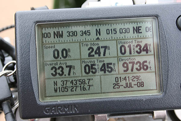
Garmin Mapsource |
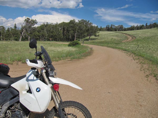
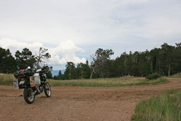
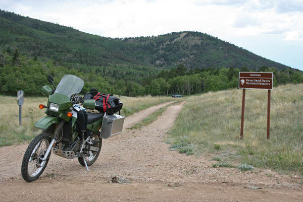
#120 - photos by Randy Bishop, 7/25/2008
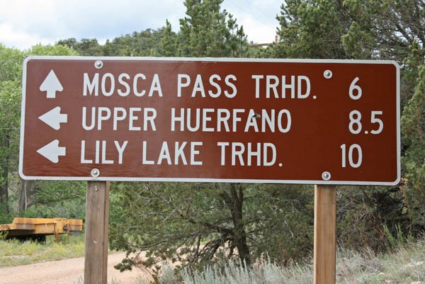
West of Gardner. |
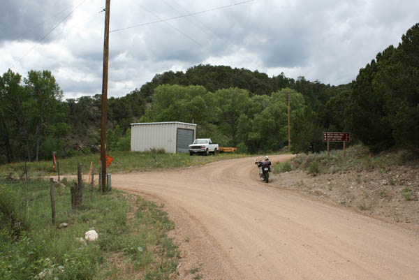
West of Gardner. |
At the summit, looking back east. |
At the summit, looking west. |
At the summit. |

Just west of the summit, looking west. |
Just west of the summit, in the Park. |
| Feature Name | ID | Class | County | State | Latitude | Longitude | Ele(ft) | Map | BGN Date | Entry Date |
| Mosca Pass | 192642 | Gap | Alamosa | CO | 374358N | 1052716W | 9714 | Mosca Pass | - | 13-OCT-1978 |