
Rogers Pass
|
Rogers Pass |
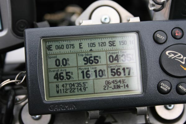
Rogers Pass - Lewis and Clark County - Montana - 5,610 feet - on the Continental Divide
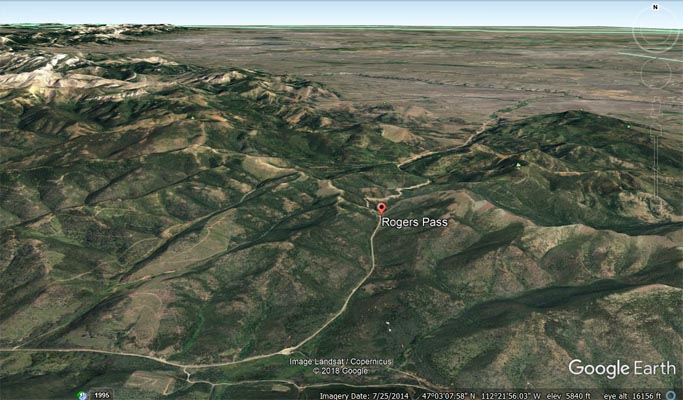
On MT-200 about 18 miles east of Lincoln, Montana.
paved - road bike
photos by Randy Bishop, 6/27/2014
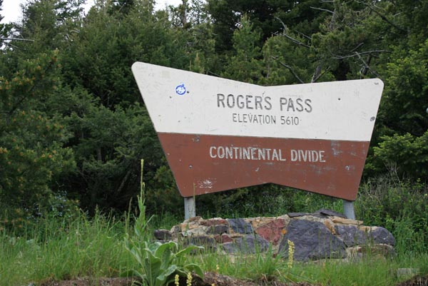
At the summit. |
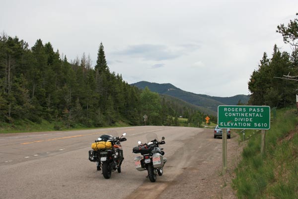
At the summit, looking south. |
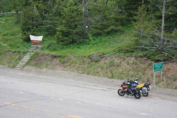
At the summit. |
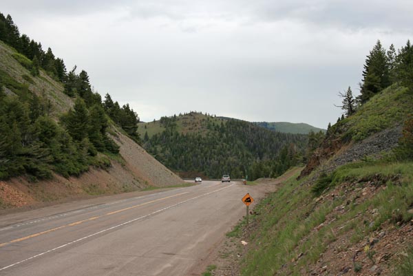
At the summit, looking north. |
At the summit. |
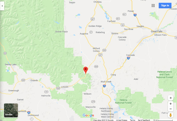
Google Maps |
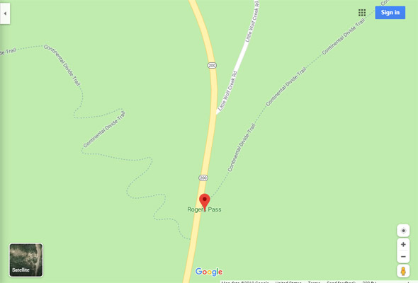
Google Maps |
Google Earth |
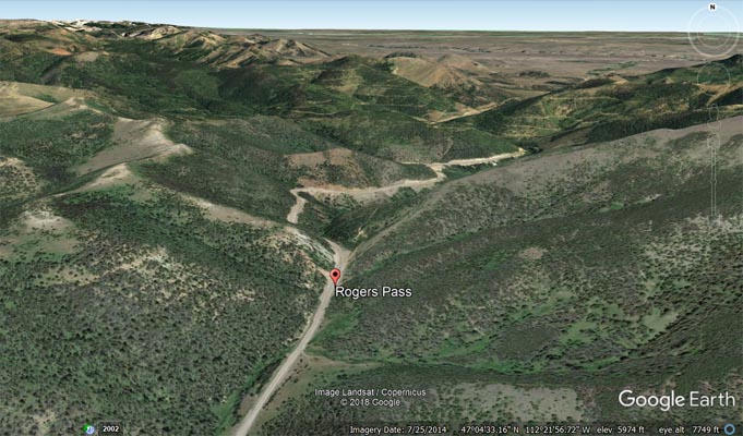
Google Earth |
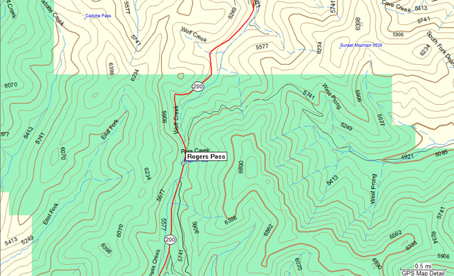
Garmin MapSource |
| Feature Name | ID | Class | County | State | Latitude | Longitude | Ele(ft) | Map | BGN Date | Entry Date |
| Rogers Pass | 801384 | Gap | Lewis and Clark | MT | 470435N | 1122214W | 5630 | Rogers Pass | - | 04-APR-1980 |