
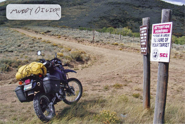
Muddy Pass
|
Muddy Pass |
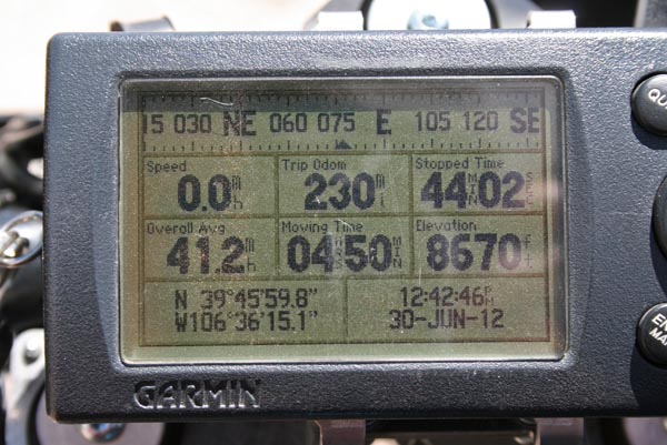
Muddy Pass - Eagle County - Colorado - 8,625 feet
Muddy Creek to west. Piney River to east.
About 2.5 miles north of Wolcott on CO-131, then about 5.5 miles northeast on CR-6 / FR-785 / FR-405.
gravel, with patches of silt - dual sport
#141- photos by Randy Bishop, 6/30/2012
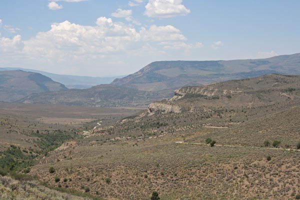
West of the summit, looking west. |
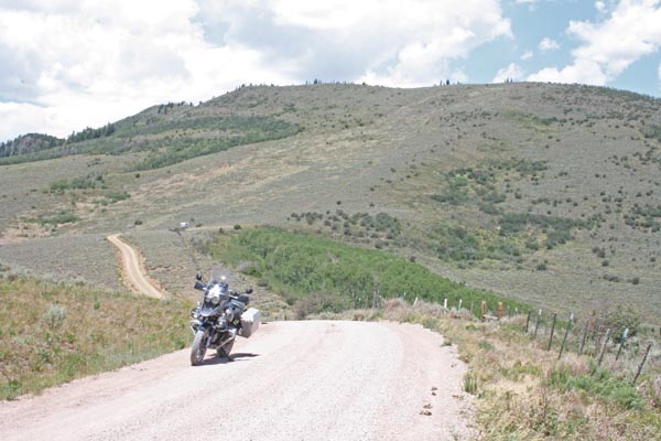
At the summit, looking north. |
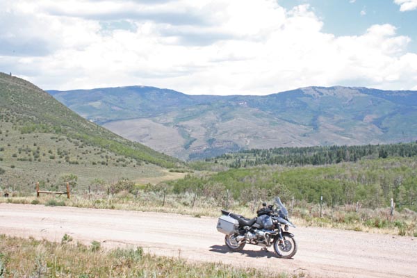
At the summit, looking east. |
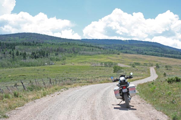
At the summit, looking south. |
At the summit. |
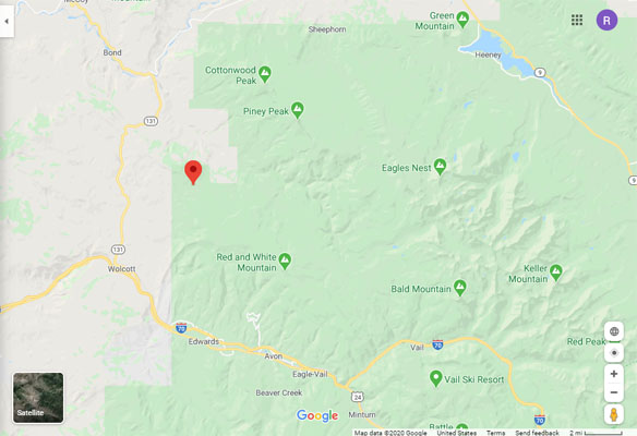
Google Maps |
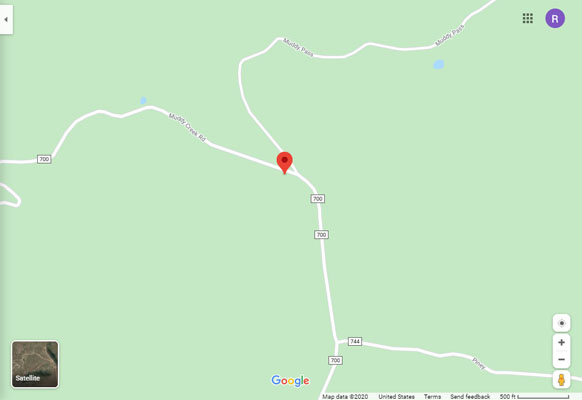
Google Maps |
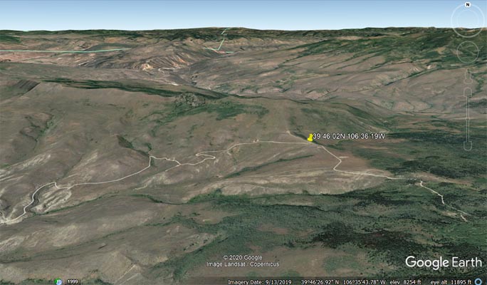
Google Earth |
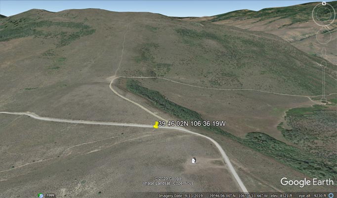
Google Earth |
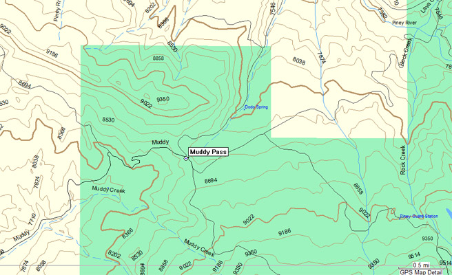
Garmin Mapsource |
photo by Roamin Carloski
At the summit, looking north. Just down around the curve in photo #2, above. |
| Feature Name | ID | Class | County | State | Latitude | Longitude | Ele(ft) | Map | BGN Date | Entry Date |
| Muddy Pass | 175818 | Gap | Eagle | CO | 394602N | 1063619W | 8612 | Lava Creek | - | 13-OCT-1978 |