
Muddy Gap
|
Muddy Gap |
Muddy Gap - Las Animas County - Colorado - 4,540 feet
Muddy Creek to west. Johnny Creek to east.
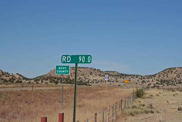
CR-90.0 southeast of La Junta, and east of CO-109
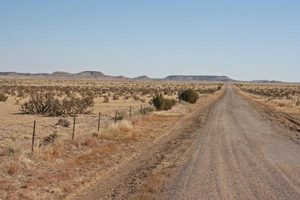
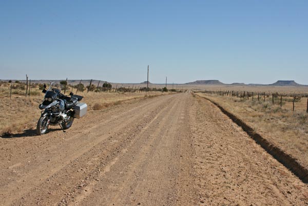
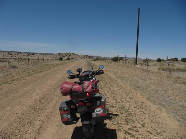
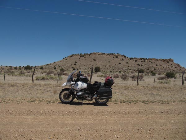
gravel - road bike or dual sport
#137 - photos by Randy Bishop, 11/22/2011
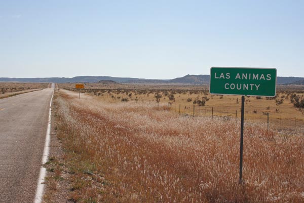
On CO-109 at Las Animas / Bent County line, looking south. |
On CO-109 at county line, looking north. |
On CO-109 at county line, looking east on County Road 90.0. |
At summit, looking east. |

At summit, looking north. |

At summit, looking west. |

At the summit. |
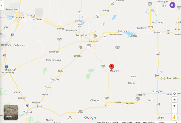
Google Maps |
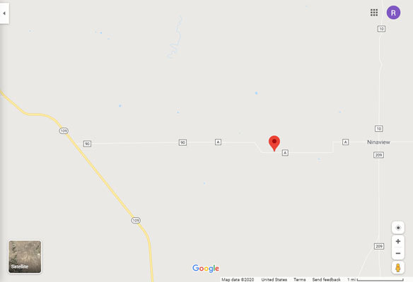
Google Maps |
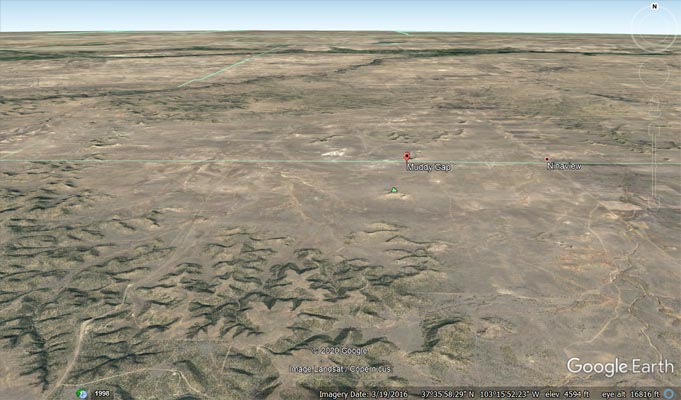
Google Earth |
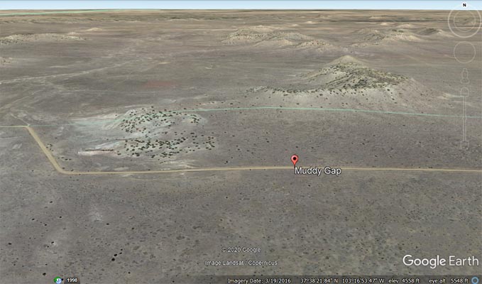
Google Earth |
Garmin Mapsource |
photos by Karst Postma, 5/3/2011
At the summit, looking west. |
At the summit, looking north. |
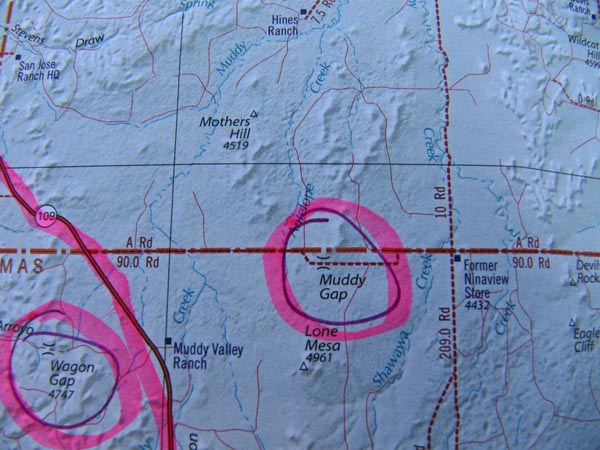
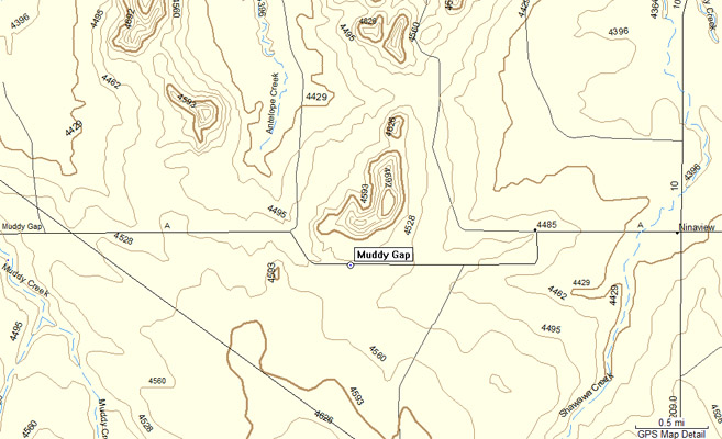
The map. |
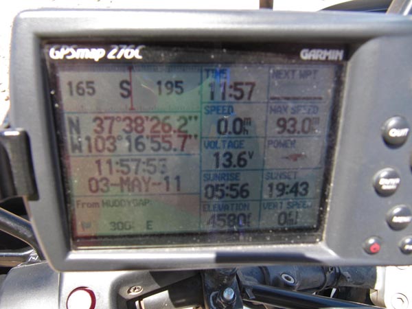
At the summit. |
| Feature Name | ID | Class | County | State | Latitude | Longitude | Ele(ft) | Map | BGN Date | Entry Date |
| Muddy Gap | 195893 | Gap | Las Animas | CO | 373826N | 1031656W | 4560 | Rock Canyon | - | 13-OCT-1978 |