
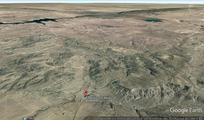
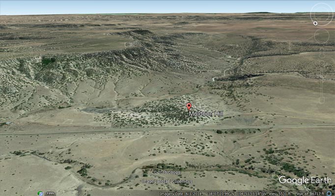
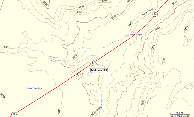
Muldoon Hill
|
Muldoon Hill |
Muldoon Hill - Pueblo County - Colorado - 5,643 feet
A summit in the Rock Creek watershed.
Forks of Rock Creek flow on the north and south sides of Muldoon Hill.
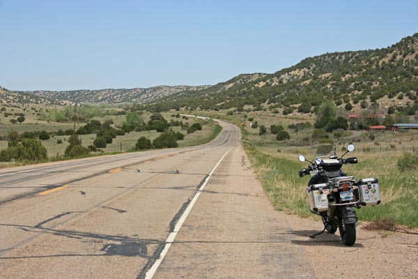
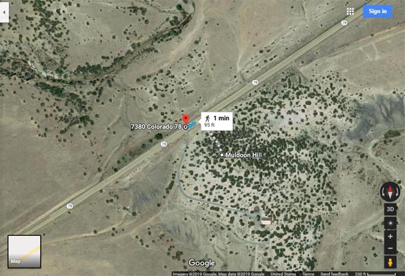
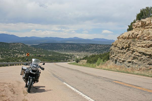
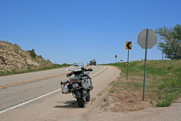
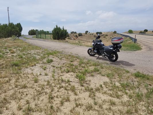
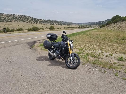
Southwest of Pueblo on CO-78 by Muldoon Hill.
paved - road bike
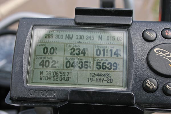
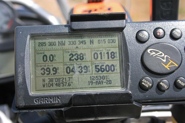
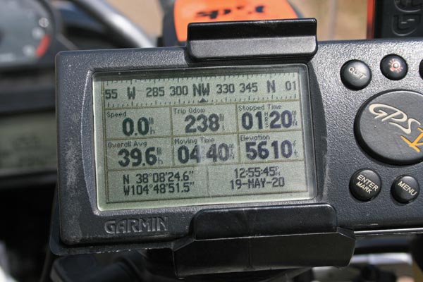
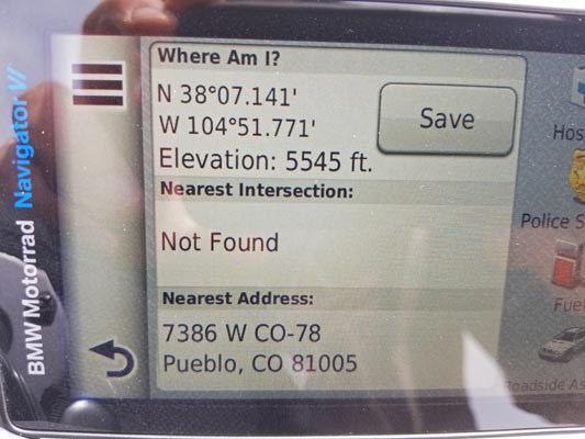
#169 - photos by Randy Bishop, 5/19/2020
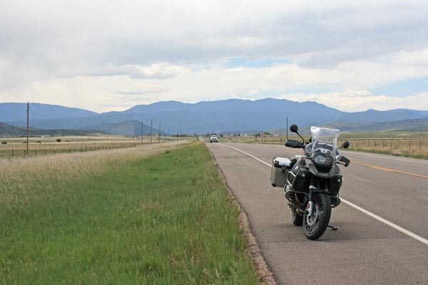
0.3 miles west of the photo location, looking west. |
0.3 miles west of the photo location, looking east. |
0.3 miles west of the photo location. |
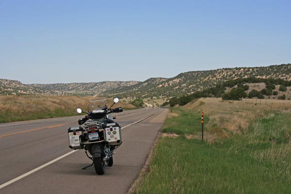
0.2 miles east of the photo location, looking west. |
0.2 miles east of the photo location, looking east. |
0.2 miles east of the photo location. |
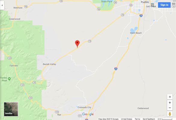
Google Maps |
Google Maps |
Google Earth |
Google Earth |
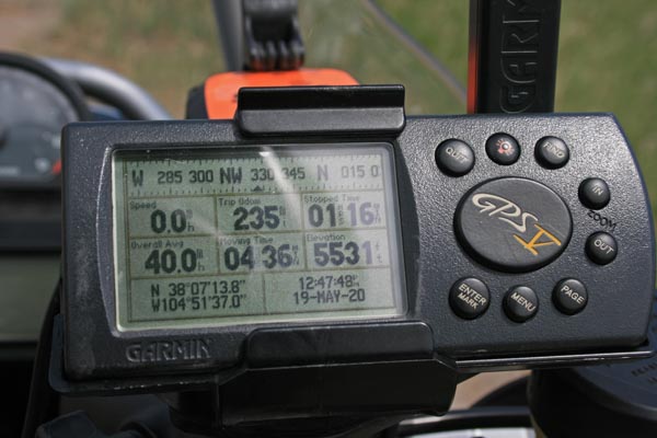
Garmin MapSource |
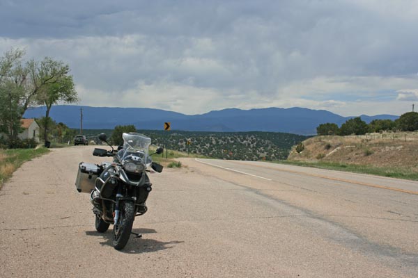
Scenic views of the highway over Rock Creek Hill, about 3 miles east of Muldoon Hill.
Almost to the summit of Rock Creek Hill, looking west. |
Almost to the summit of Rock Creek Hill, looking east. |
Almost to the summit of Rock Creek Hill. |
At the summit of Rock Creek Hill, looking west. |
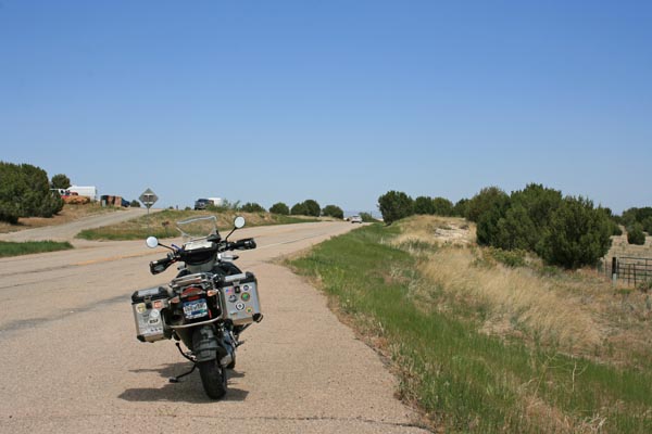
At the summit of Rock Creek Hill, looking east. |
At the summit of Rock Creek Hill. |
photos by Dave Vining, 5/12/2018
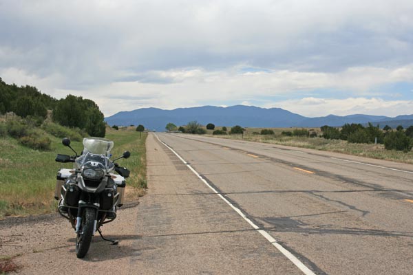
At the photo location. |
At the photo location. |
At the photo location. |
photos by Scott Westfall, 3/3/2018
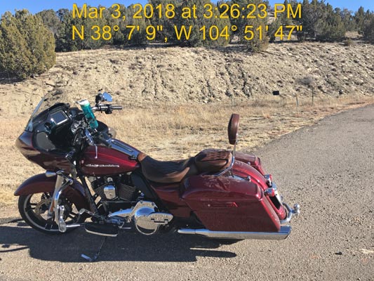
At the photo location. |
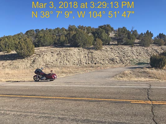
At the photo location. |
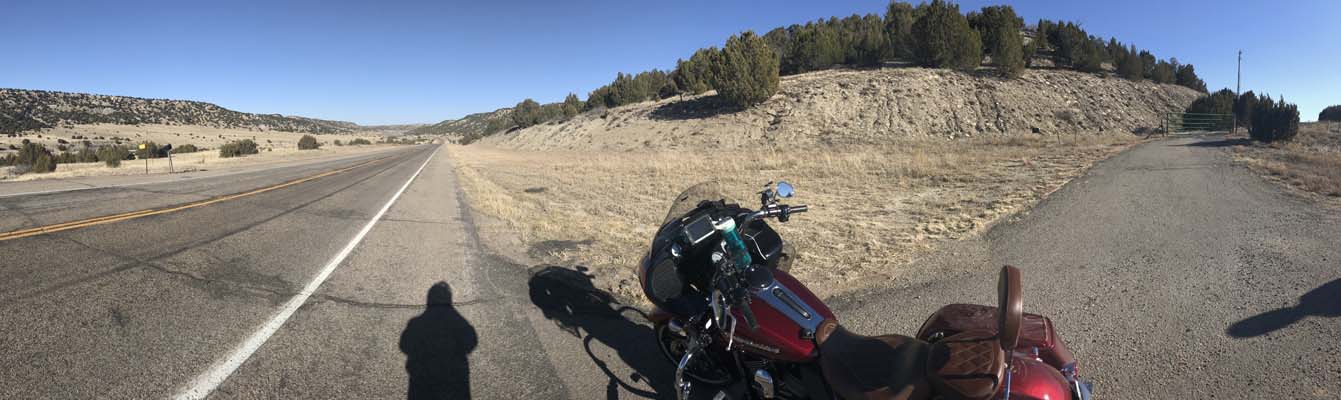
At the photo location. |
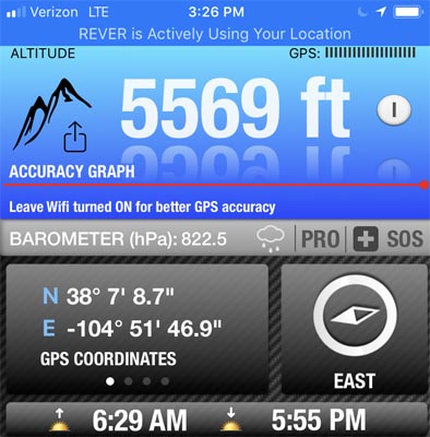
At the photo location. |
| Feature Name | ID | Class | County | State | Latitude | Longitude | Ele(ft) | Map | BGN Date | Entry Date |
| Muldoon Hill | 193835 | Summit | Pueblo | CO | 380707N | 1045144W | 5643 | Muldoon Hill | - | 13-OCT-1978 |
I think this is another case where the map makers' software placed a )( symbol on the highway
because it figured the highway went over the small summit that is very close to it.