
The Narrows
|
The Narrows |
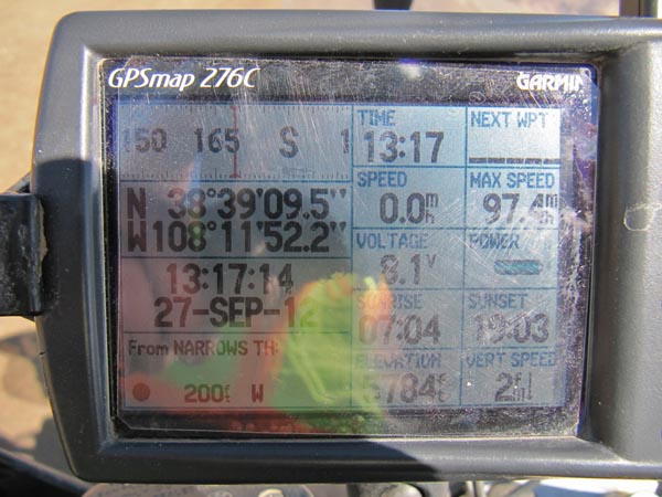
The Narrows - Montrose County - Colorado - 5,728 feet
Cottonwood Creek flows on the northwest side of the gap and
Roubideau Creek flows on the southeast side of the gap.
Southwest of Delta about 10.5 miles on 25 Mesa Rd (Nucla - Delta Rd).
gravel - dual sport
photos by John Meyer, 7/20/2017
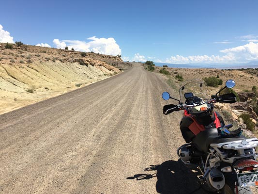
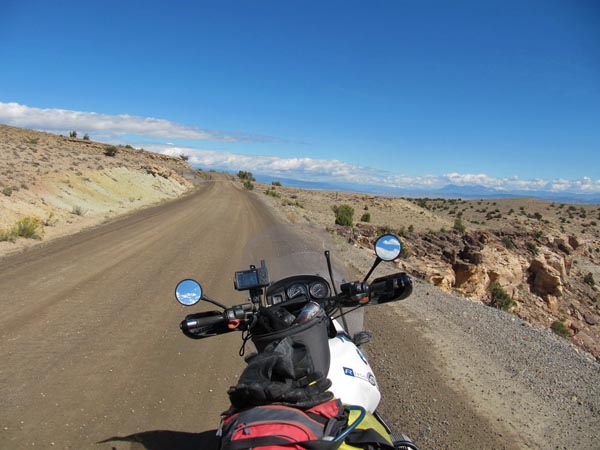
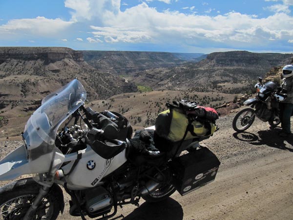
On the gap. |
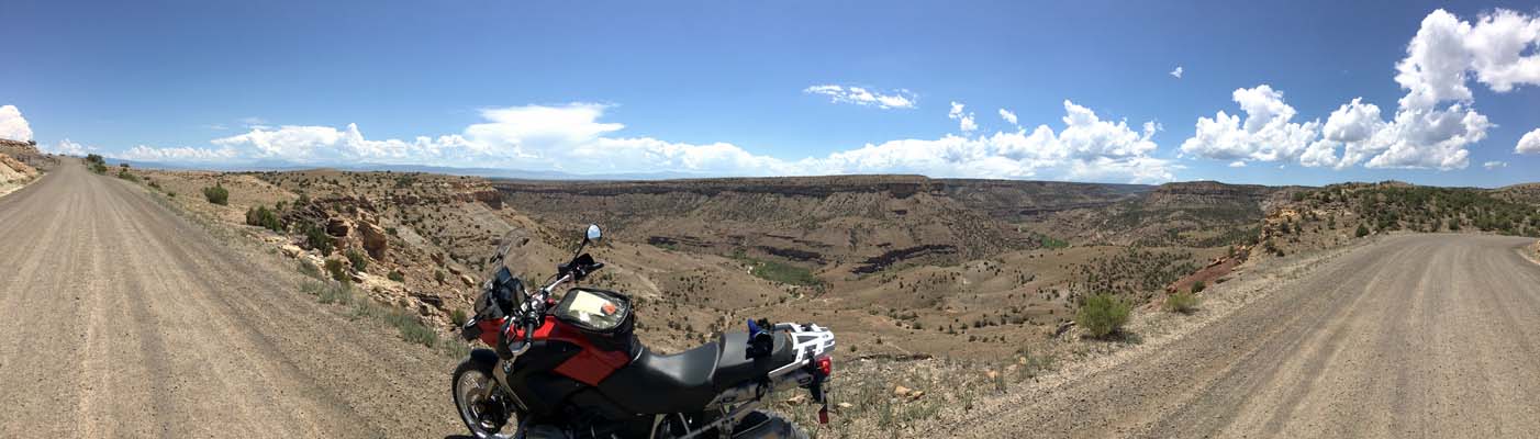
On the gap. |
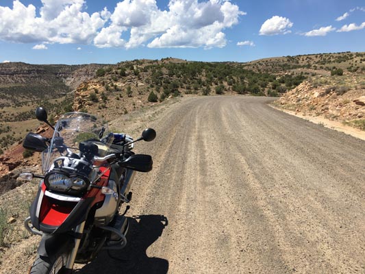
On the gap. |
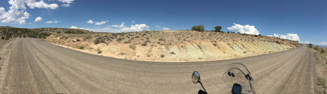
On the gap. |
On the gap. |
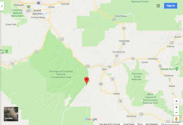
Google Maps |
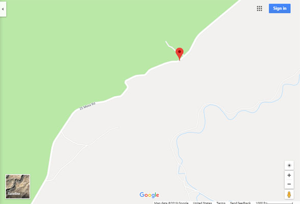
Google Maps |
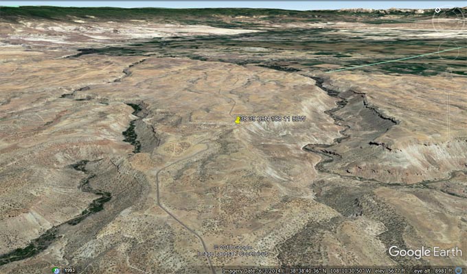
Google Earth, looking northeast. |
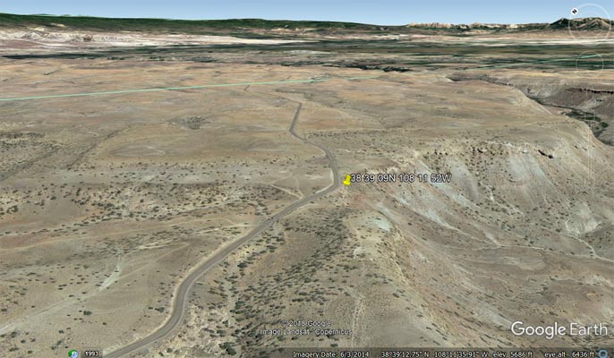
Google Earth, looking northeast. |
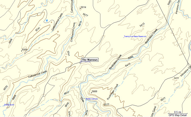
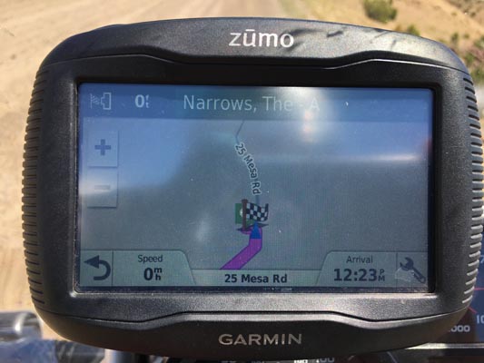
Garmin MapSource |
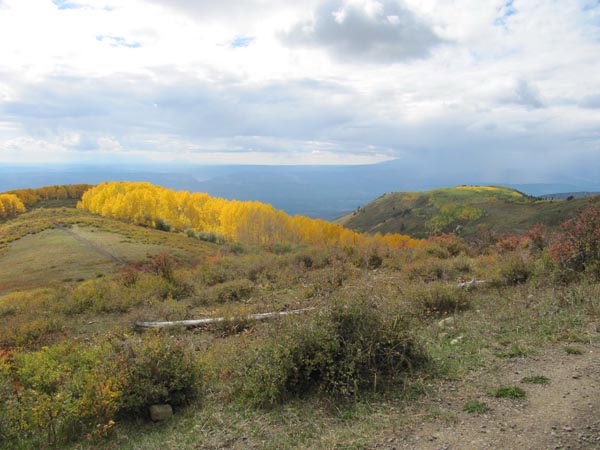
photos by Karst Postma, 9/27/2012
On the gap. |
On the gap. |

On the gap. |
On the gap. |
On the gap. |
| Feature Name | ID | Class | County | State | Latitude | Longitude | Ele(ft) | Map | BGN Date | Entry Date |
| The Narrows | 185511 | Gap | Montrose | CO | 383909N | 1081152W | 5692 | Roubideau | - | 13-OCT-1978 |