
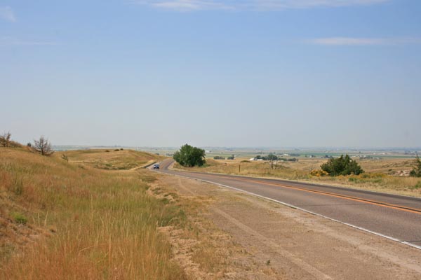
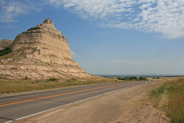
Mitchell Pass
|
Mitchell Pass |
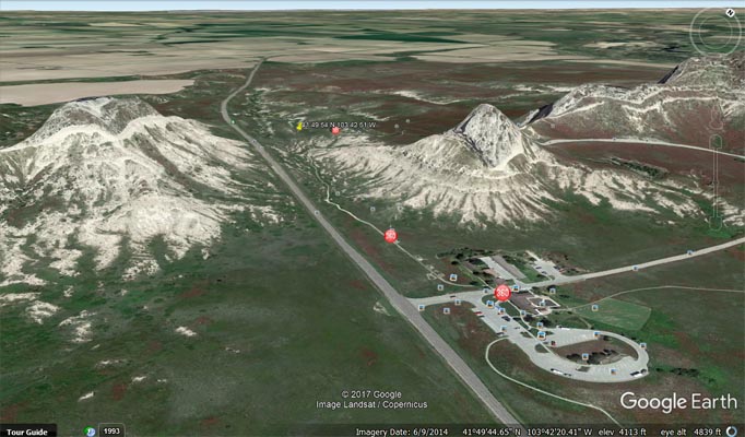
Mitchell Pass - Scotts Bluff County - Nebraska - 4173 feet
North Platte River to west. Scotts Spring and North Platte River to east.
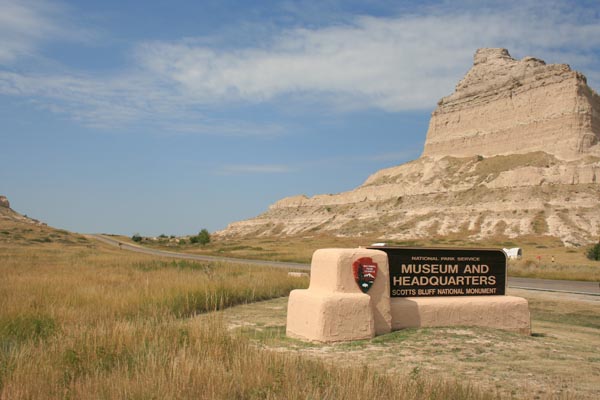
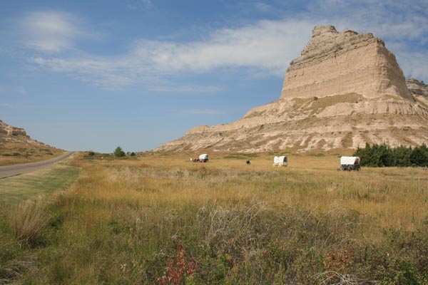
On Old Oregon Trail street (CR-K, Old Hwy 92) on west side of Gering in Scotts Bluff National Monument.
pavement - road bike
photos by Randy Bishop, 9/11/2017
Looking west toward summit. |
Looking west toward summit. |
At the summit, looking west. |
At the summit, looking east. |

At the summit. |
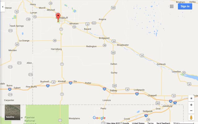
Google Maps |
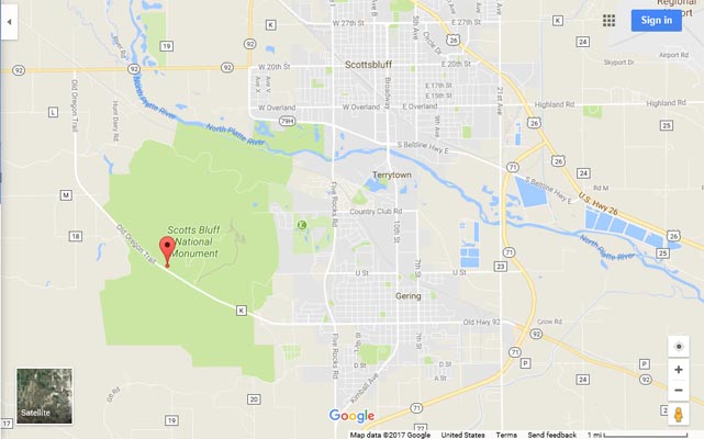
Google Maps |
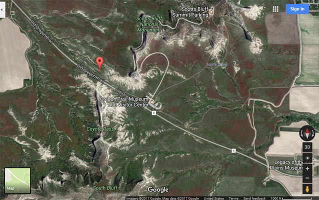
Google Maps |

Google Earth |
Google Earth |
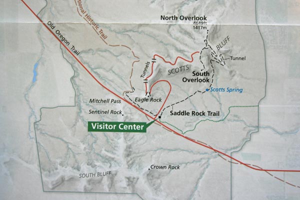
National Park Service |
| Feature Name | ID | Class | County | State | Latitude | Longitude | Ele(ft) | Map | BGN Date | Entry Date |
| Mitchell Pass | 831363 | Gap | Scotts Bluff | NE | 414954N | 1034251W | 4173 | Scottsbluff South | 01-JAN-1941 | 09-MAR-1979 |
| Feature Name | ID | Class | County | State | Latitude | Longitude | Ele(ft) | Map | BGN Date | Entry Date |
| Coyote Pass | 828428 | Gap | Scotts Bluff | NE | 414934N | 1034251W | 4331 | Scottsbluff South | - | 09-MAR-1979 |
For more information, check:
Scotts Bluff National Monument
Chimney Rock National Historic Site
Courthouse and Jail Rocks
Oregon National Historic Trail
Pony Express National Historic Trail
California National Historic Trail
Mormon Pioneer National Historic Trail