
Ninemile Hill
|
Ninemile Hill |
Ninemile Hill - Gunnison County - Colorado - 9,009 ft
A roadway summit with no discernable watershed divide or gap.
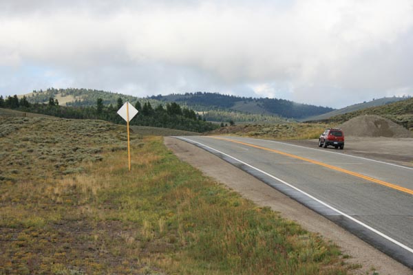
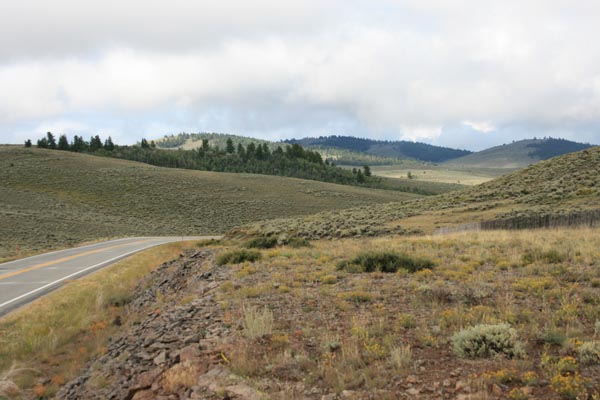
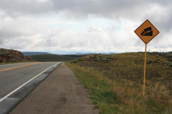
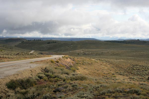
CO-149 between Blue Mesa Reservoir and Powderhorn.
pavement - road bike
#161 - photos by Randy Bishop, 7/20/2017
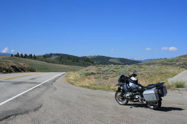
At the summit, looking south. |
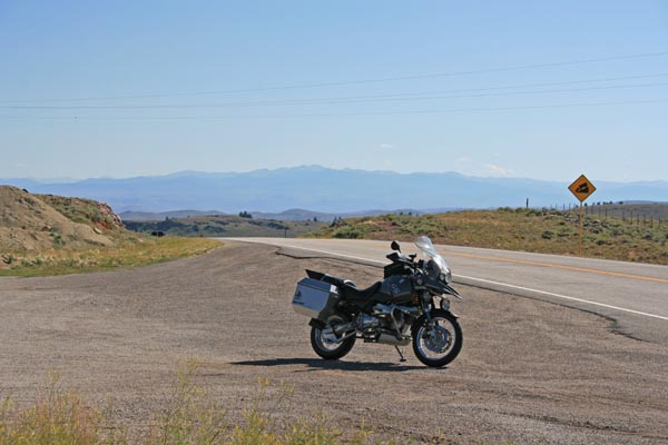
At the summit, looking north. |
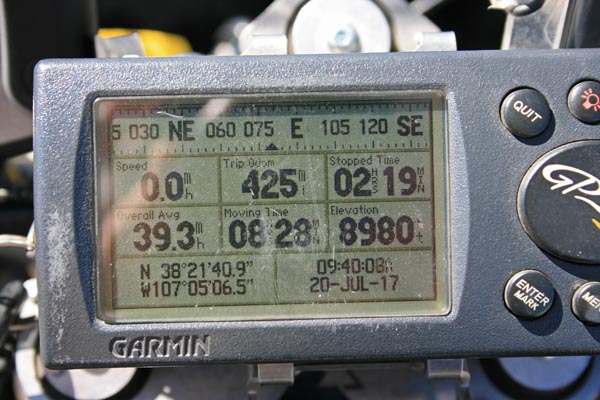
At the summit. |
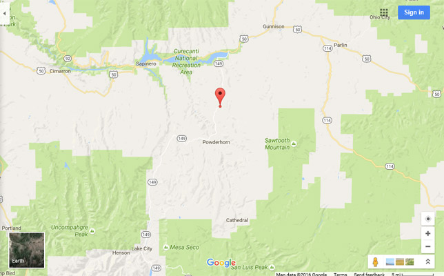
Google Maps |

Google Maps |
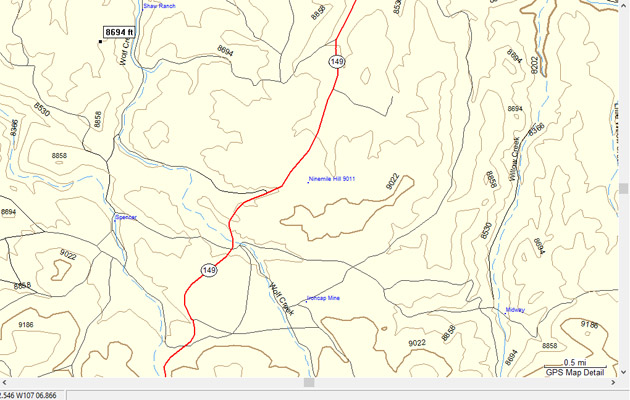
Garmin Mapsource |
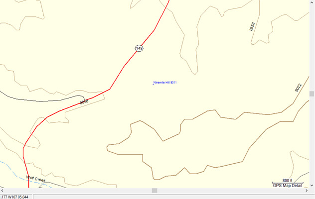
Garmin Mapsource |
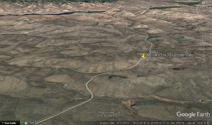
Google Earth, looking north. |
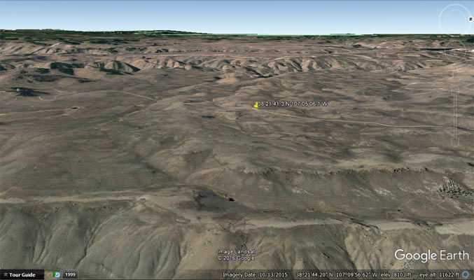
Google Earth, looking west. |
photos by Randy Bishop, 8/26/2016
At the summit, looking south. |
At the summit, looking south. |
At the summit, looking north. |
At the summit, looking north. |

At the summit. |
| Feature Name | ID | Class | County | State | Latitude | Longitude | Ele(ft) | Map | BGN Date | Entry Date |
| Ninemile Hill | 188363 | Summit | Gunnison | CO | 382133N | 1070500W | 9009 | Powderhorn | - | 13-OCT-1978 |