
Glorieta Pass
|
Glorieta Pass |
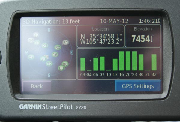
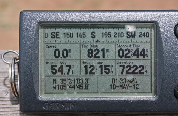
Glorieta Pass - Santa Fe County - New Mexico - 7,559 feet
On I-25 near Glorieta, New Mexico.
pavement - road bike
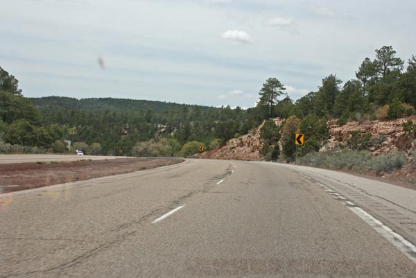
At the summit, on I-25 westbound. |

1 mile south of the summit, looking south. |
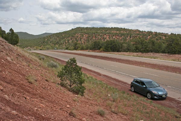
1 mile south of the summit, looking north. |
1 mile south of the summit. |
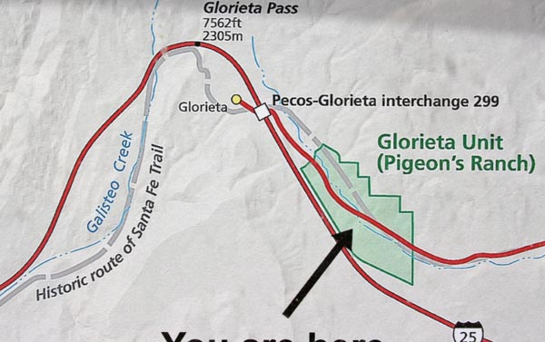
On NM-50, about 1 mile south of I-25 exit 299. |
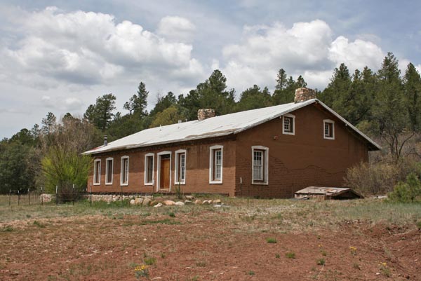
Pigeon's Ranch, on NM-50 1.7 miles south of I-25 exit 299. |
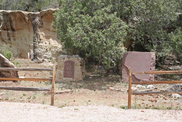
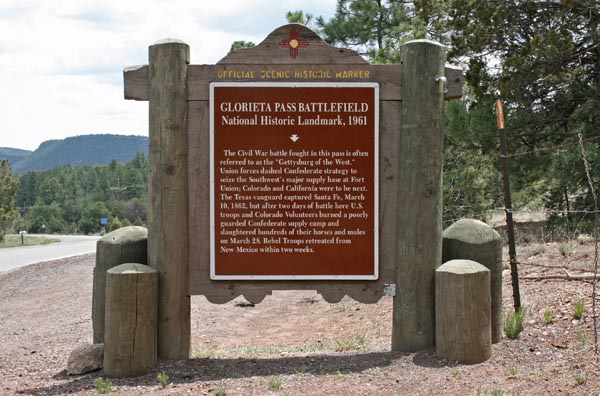
Memorials honoring the Confederate and Union soldiers in the Battle of Glorita Pass. |
Pigeon's Ranch, on NM-50 1.7 miles south of I-25 exit 299. |
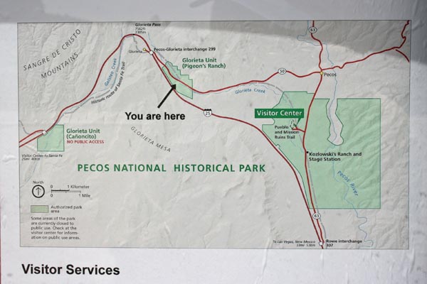
Pecos National Historic Park. |
Pecos National Historic Park. |

Along the Glorieta Battlefield Trail at the Pecos National Historic Park. |
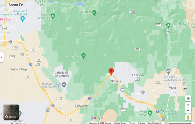
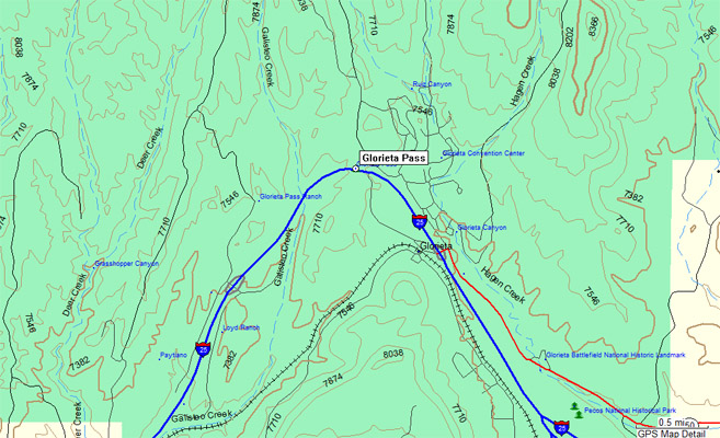
Google Maps |
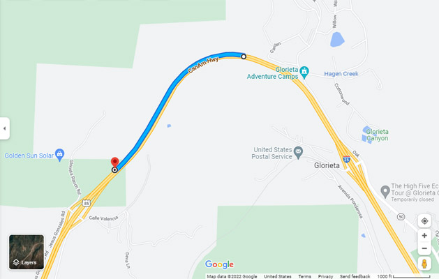
Google Maps |
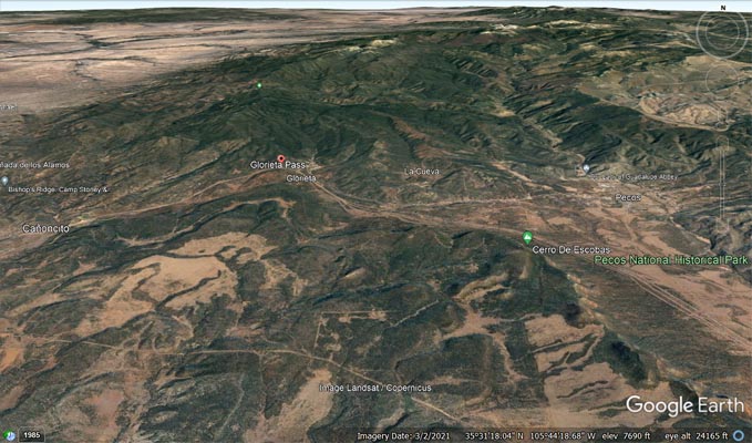
Google Earth |
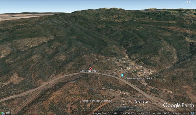
Google Earth |
Garmin MapSource |
| Feature Name | ID | Class | County | State | Latitude | Longitude | Ele(ft) | Map | BGN Date | Entry Date |
| Glorieta Pass | 906570 | Gap | Santa Fe | NM | 353529N | 1054640W | 7559 | Glorieta | - | 13-NOV-1980 |
| Glorieta Battlefield National Historic Landmark | 916087 | Locale | Santa Fe | NM | 353420N | 1054516W | 7264 | Glorieta | - | 31-AUG-1992 |
| Glorieta Canyon | 906567 | Valley | Santa Fe | NM | 353505N | 1054558W | 7362 | Glorieta | 13-NOV-1980 | 19-APR-2018 |