
Indian Divide
|
Indian Divide |
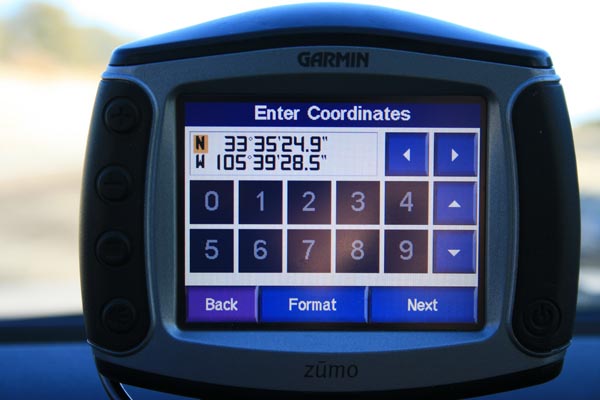
Indian Divide - Lincoln County - New Mexico - 6,952 feet
Nogal Creek (Tularosa Valley Watershed) to west. South Fork Salado Creek to east.
On US-380 between Carrizozo and Capitan.
paved - road bike
photos by Randy Bishop, 01/21/2018

At the summit. |
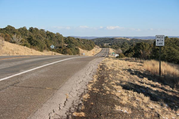
At the summit, looking east. |

At the summit, looking west. |
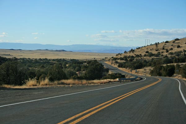
West of the summit, looking west. |
At the summit. |
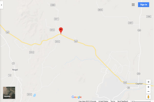
Google Maps |
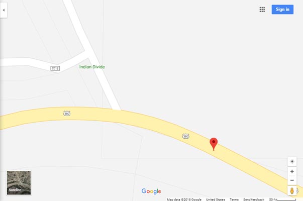
Google Maps |

Google Earth |
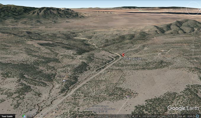
Google Earth, looking west. |
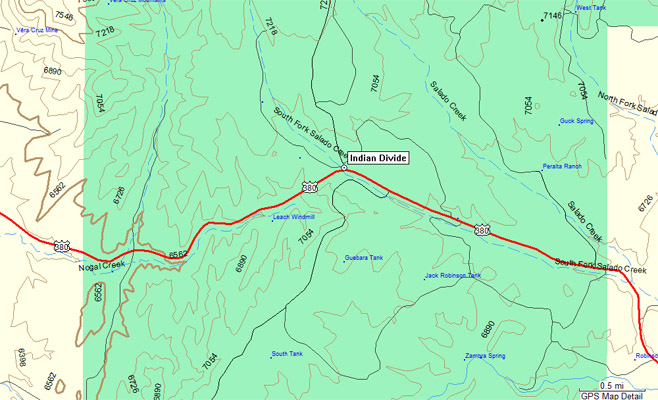
Garmin Mapsource |
photos by Karl Zuercher, 01/28/2022
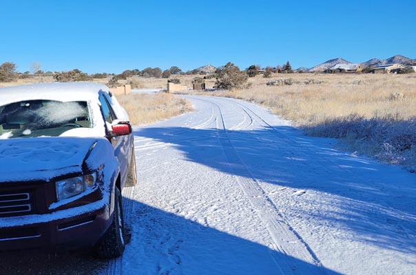
Start of the Green Chili Cheeseburger Ride, 19 degrees in Santa Fe. |
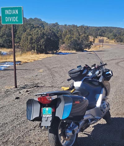
At the summit of Indian Divide. |
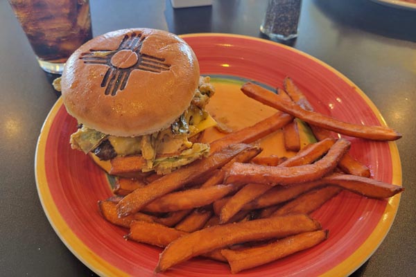
The "State Fair" at Oso Grill in Capitan. So far, rated 3rd by KZ. |
| Feature Name | ID | Class | County | State | Latitude | Longitude | Ele(ft) | Map | BGN Date | Entry Date |
| Indian Divide | 907209 | Ridge | Lincoln | NM | 333527N | 1053932W | 6952 | Nogal | - | 13-NOV-1980 |