
Palo Flechado Pass
|
Palo Flechado Pass |
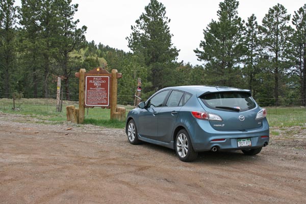
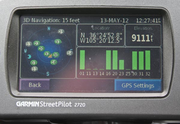
Palo Flechado Pass - New Mexico - 9,101 feet
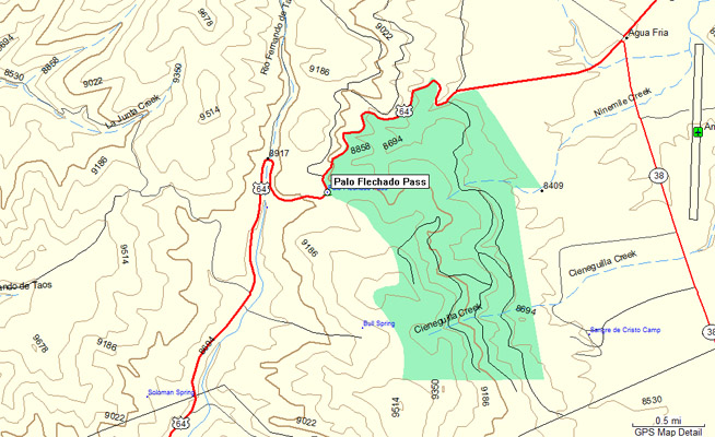
Upper Rio Grande River watershed, flows to Gulf of Mexico.
Cimarron River watershed, flows to Canadian River, then to Gulf of Mexico.
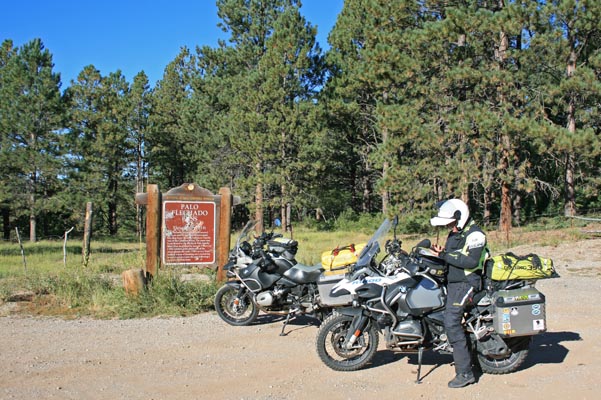
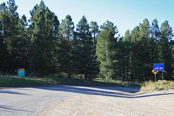
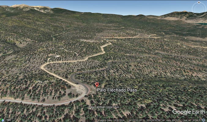
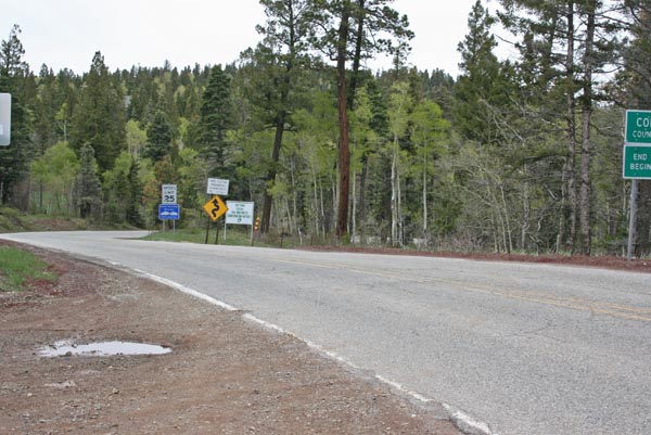
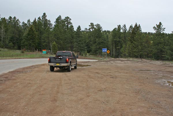
On US-64 between Taos and Angel Fire, New Mexico
pavement - road bike
photos by Randy Bishop, 9/16/2021
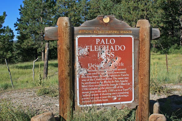
At the summit. |
At the summit. |
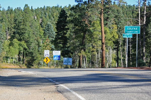
At the summit, looking north. |
At the summit, looking south. |
At the summit. |
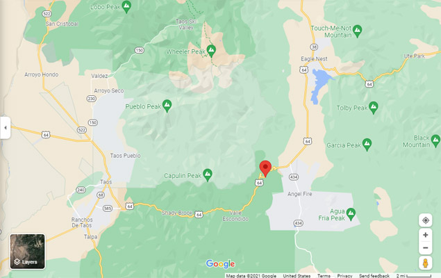
Google Maps |
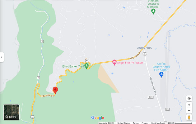
Google Maps |
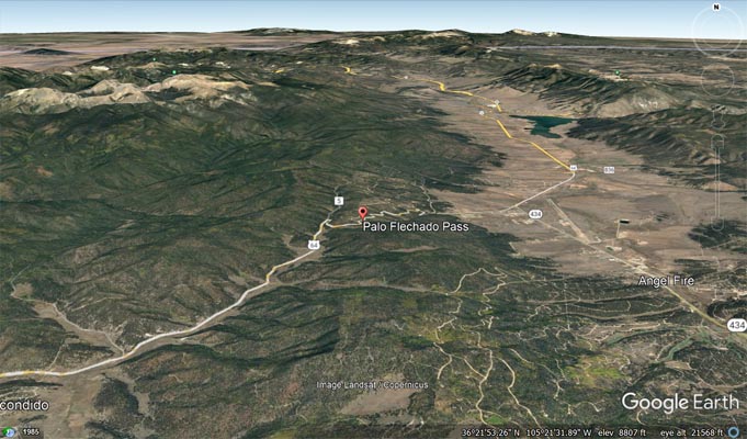
Google Earth |
Google Earth |
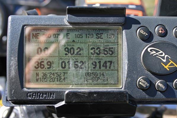
Garmin Mapsource |
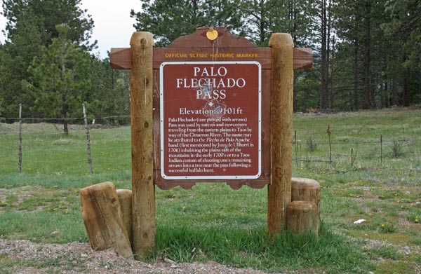
At the summit. |
At the summit. |
At the summit, looking north. |
At the summit, looking south. |
At the summit. |
| Feature Name | ID | Class | County | State | Latitude | Longitude | Ele(ft) | Map | BGN Date | Entry Date |
| Palo Flechado Pass | 909454 | Gap | Taos | NM | 362452N | 1052011W | 9111 | Palo Flechado Pass | - | 13-NOV-1980 |