
Summit
|
Summit |
Summit - Otero County - New Mexico - 8,686 feet
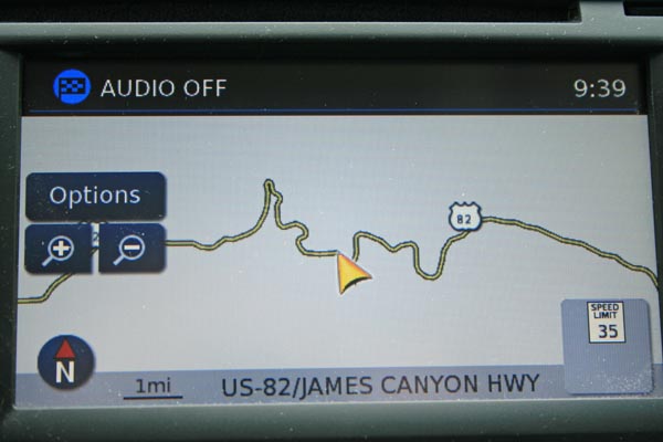
On US-82 (James Canyon Highway) at Cloudcroft.
paved - road bike
photos by Randy Bishop, 01/21/2018
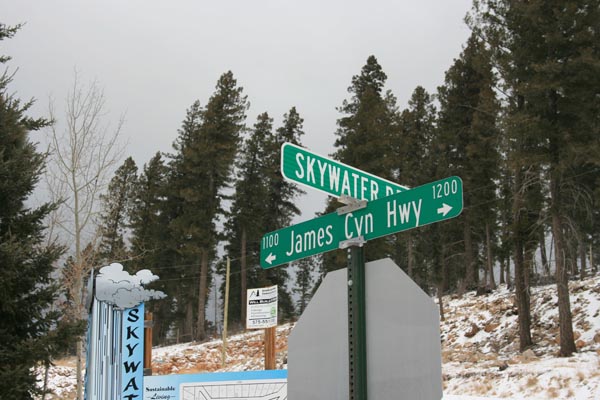
0.1 mile east of summit. |
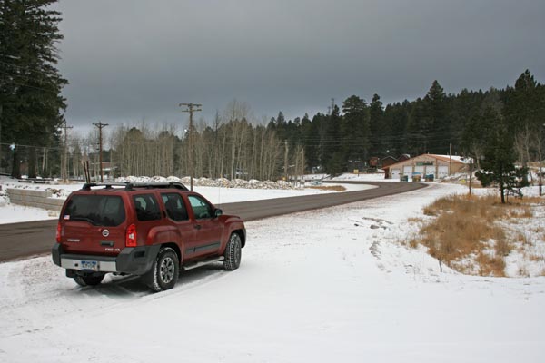
0.1 mile east of summit, looking west. |
0.1 mile east of summit, looking west. |
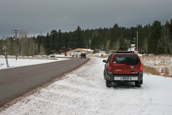
0.1 mile east of summit, looking east. |
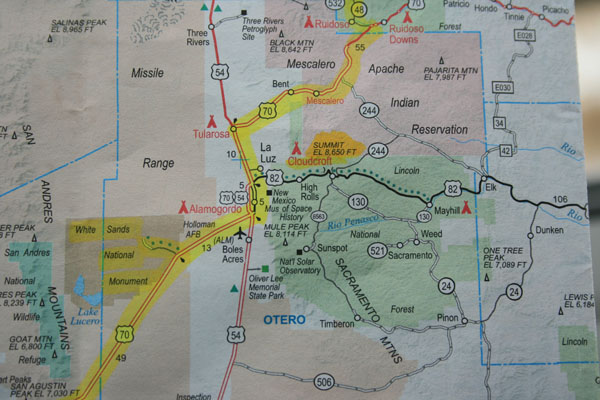
AAA map. |
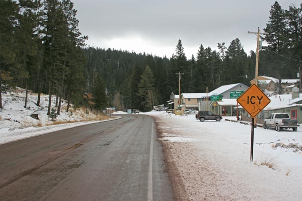
0.1 mile east of summit. |
0.1 mile east of summit. |
0.1 mile east of summit. |
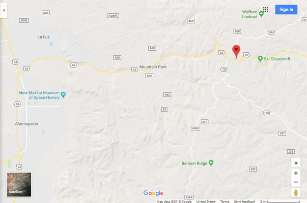
Google Maps |
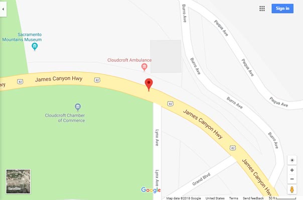
Google Maps |
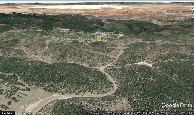
Google Earth, looking west. |
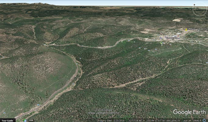
Google Earth, looking northeast. |

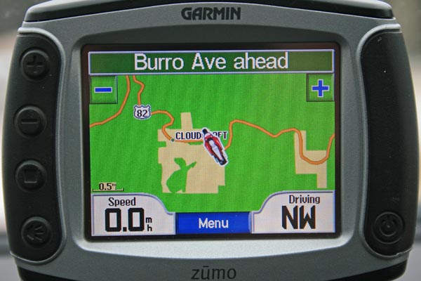
Garmin Mapsource |
| Feature Name | ID | Class | County | State | Latitude | Longitude | Ele(ft) | Map | BGN Date | Entry Date |
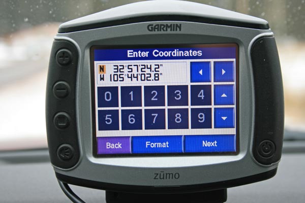
| Cloudcroft | 905216 | Populated Place | Otero | NM | 325726N | 1054433W | 86682 | Cloudcroft | - | 13-NOV-1980 |