
North Pass
|
North Pass |
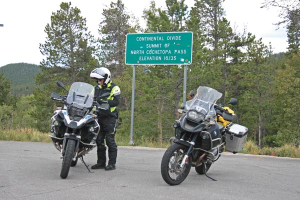
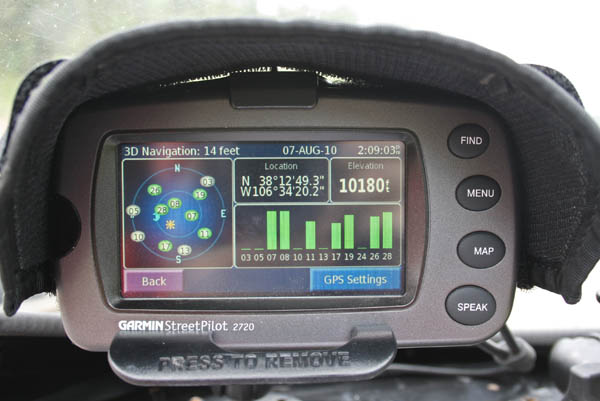
North Pass - Gunnison / Rio Grande Counties - Colorado - 10,149 feet - On the Continental Divide
(other names - North Cochetopa, Saguache, West Pass Creek)
Lujan Creek to west. East Pass Creek to east.
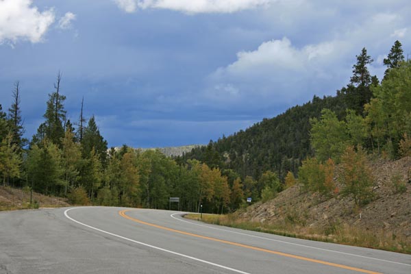
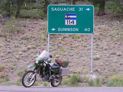
CO-114 southeast of Gunnison
pavement - road bike
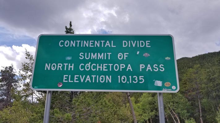
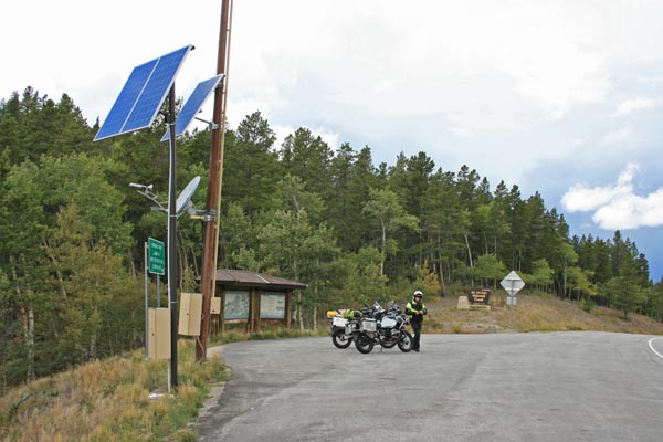
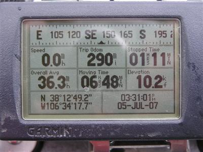
At the summit. |
At the summit. |
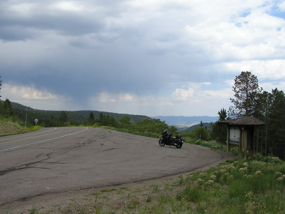
At the summit, looking northwest. |
At the summit, looking northwest. Yes, we rode into heavy rain. |
At the summit, looking east. |
At the summit. |
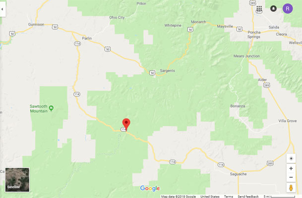
Google Maps |
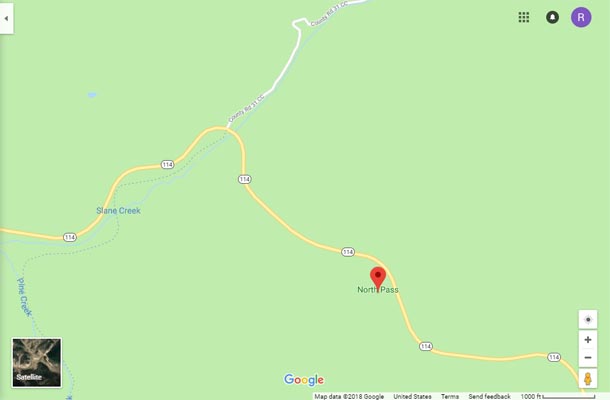
Google Maps |
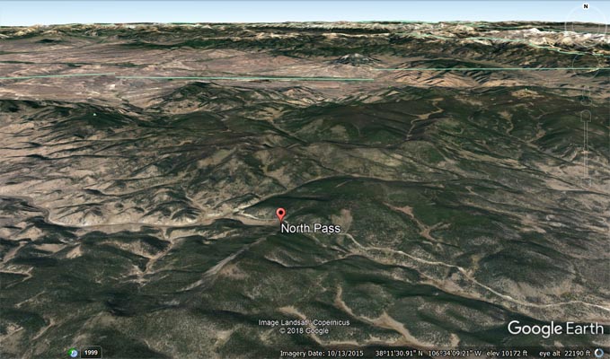
Google Earth |
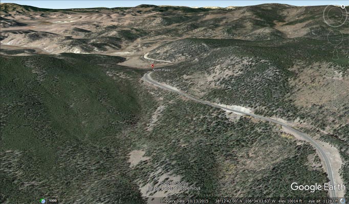
Google Earth, looking northwest. |
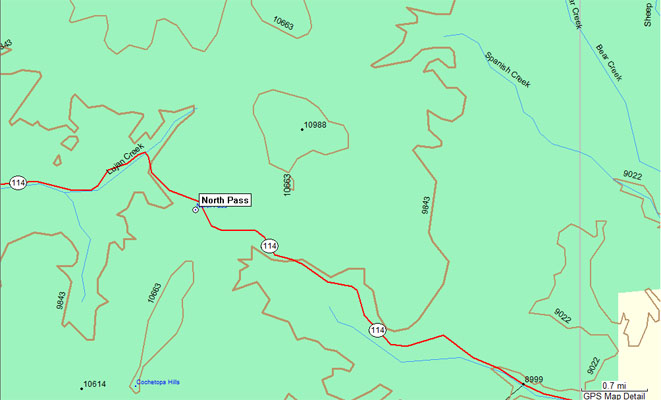
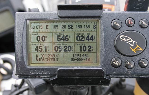
Garmin Mapsource |
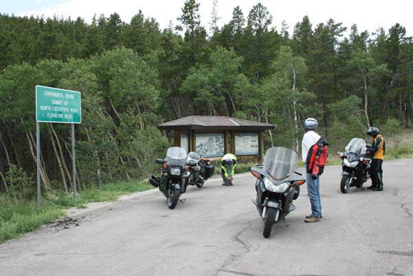
At the summit, during the 100K Ride. |

At the summit. |
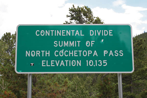
At the summit. There is a sign there now! |
At the summit. |
At the summit. |
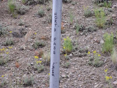
At the summit, a homemade sign. |
At the summit. |
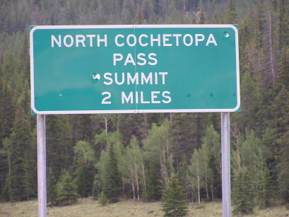
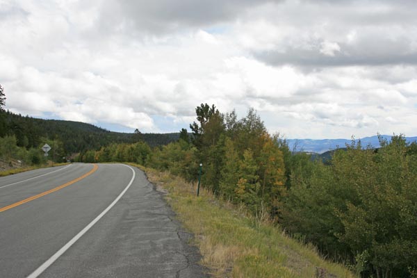
Two miles west of the summit. |
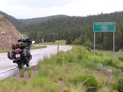
Two miles west of the summit. |
At the summit, looking east. |
| Feature Name | ID | Class | County | State | Latitude | Longitude | Ele(ft) | Map | BGN Date | Entry Date |
| North Pass | 190057 | Gap | Saguache | CO | 381300N | 1063432W | 10010 | North Pass | 01-JAN-1963 | 13-OCT-1978 |