
Austin Summit
|
Austin Summit |
Austin Summit - Lander County - Nevada - 7,484 feet
On US-50 about 2.5 miles east of Austin, Nevada.
pavement - road bike
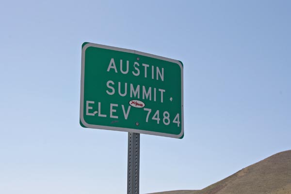
At the summit. |
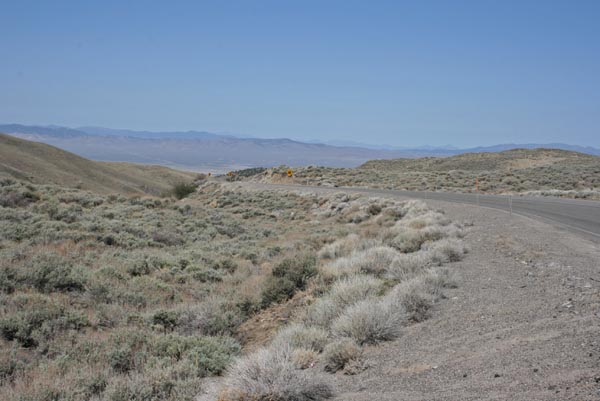
At the summit, looking west. |

At the summit, looking east. |

At the summit, looking east. |
At the summit. |
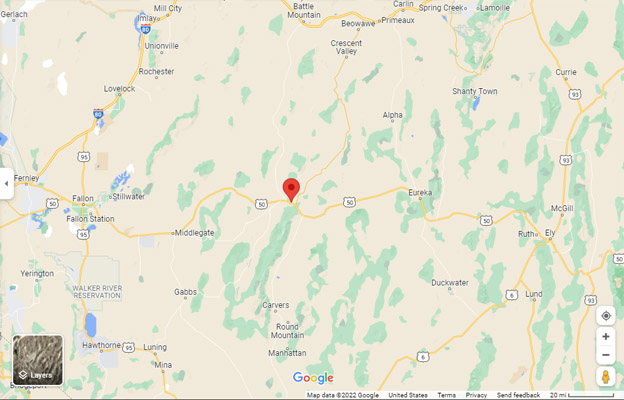
Google Maps |
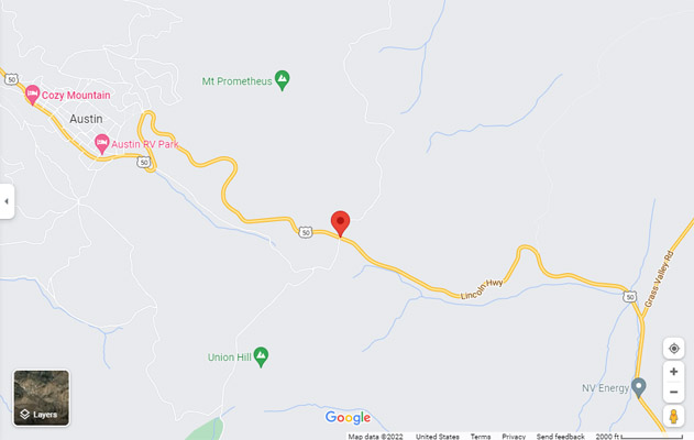
Google Maps |
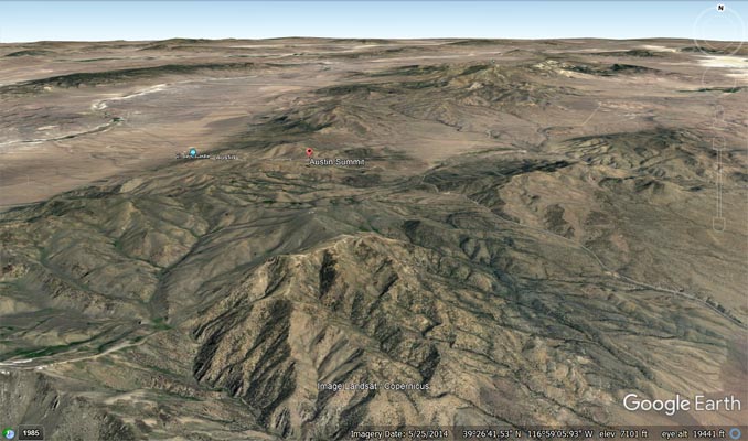
Google Earth |
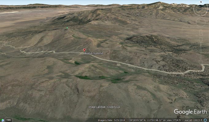
Google Earth |
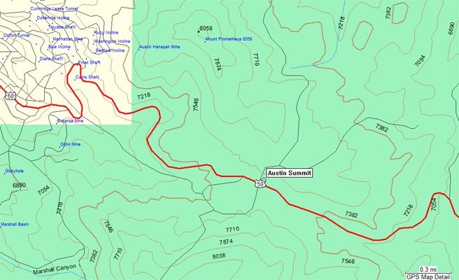
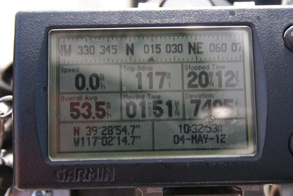
Garmin Mapsource |
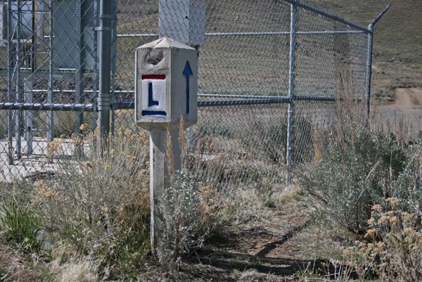
Lincoln Highway marker. |
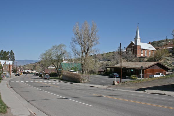
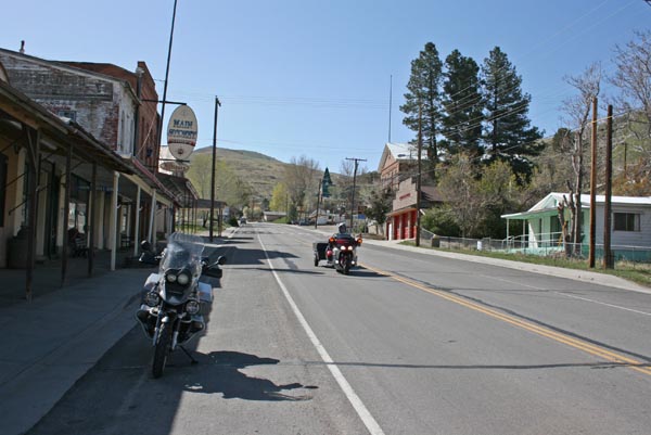
Austin, looking west. |
Austin, looking west. |
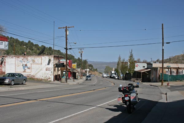
Austin, looking east. |
| Feature Name | ID | Class | County | State | Latitude | Longitude | Ele(ft) | Map | BGN Date | Entry Date |
| Austin Summit | 858768 | Gap | Lander | NV | 3392856N | 1170213W | 7490 | Austin | - | 12-DEC-1980 |