
Conners Pass
|
Conners Pass |
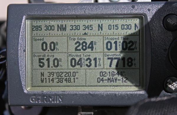
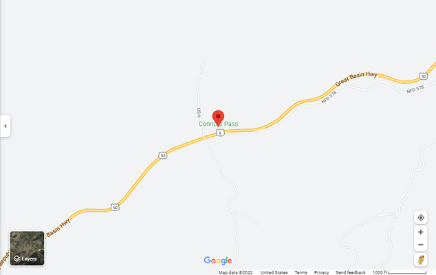
Conners Pass - White Pine County - Nevada - 7,722 feet
On US-6/US-50/US-93 about 24 miles east of Ely, Nevada.
pavement - road bike

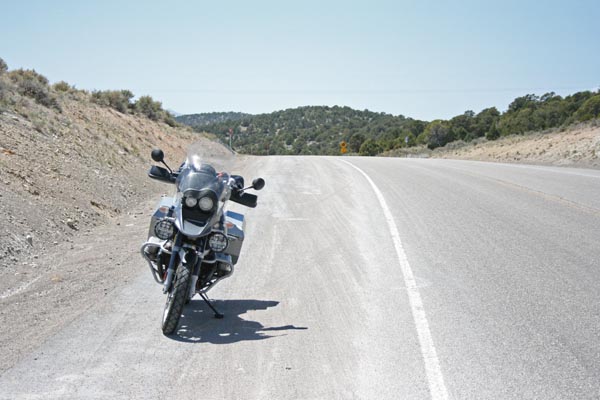
At the summit. |
At the summit, looking west. |
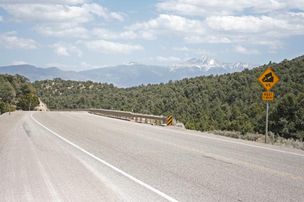
At the summit, looking east toward Wheeler Peak. |
At the summit. |
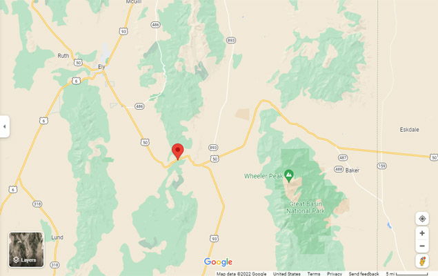
Google Maps |
Google Maps |
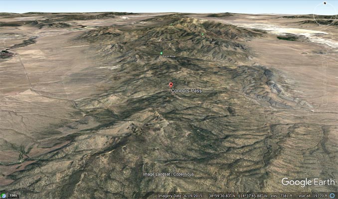
Google Earth |
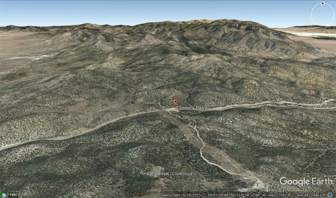
Google Earth |
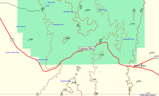
Garmin Mapsource |