
New Pass Summit
|
New Pass Summit |
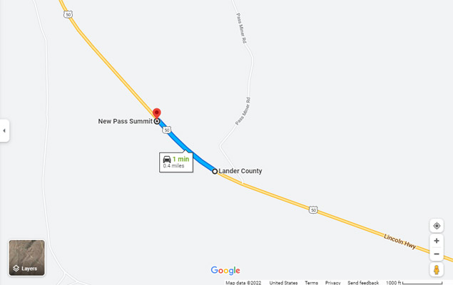
New Pass Summit - Churchill / Lander Counties - Nevada - 6,348 feet
On US-50 about 23 miles west of Austin, Nevada.
pavement - road bike
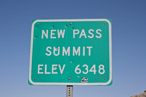
At the summit. |
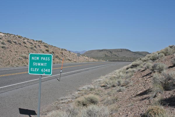
At the summit, looking west. |

At the summit, looking east. |
At the summit. |
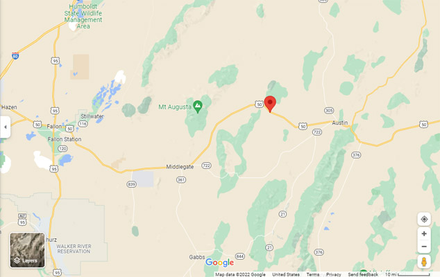
Google Maps |
Google Maps |
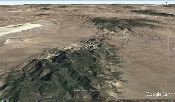
Google Earth |
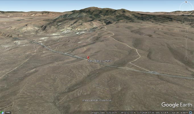
Google Earth |
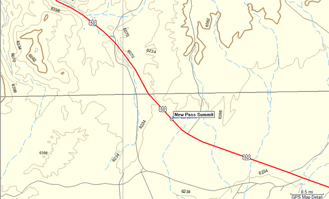
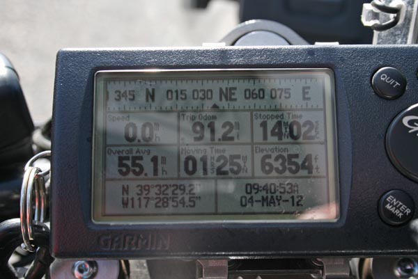
Garmin Mapsource |
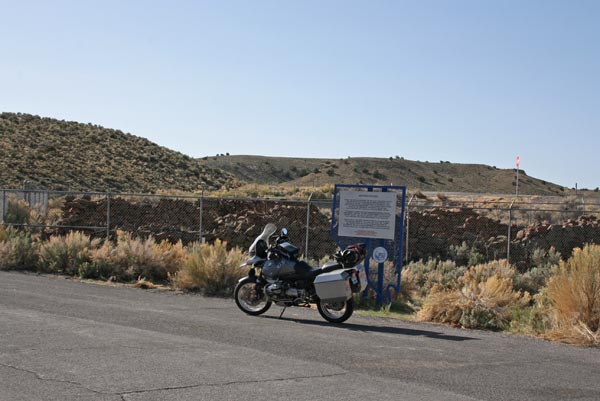
About 1 mile west of the summit. |
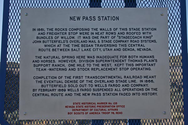
Old stage station. |
| Feature Name | ID | Class | County | State | Latitude | Longitude | Ele(ft) | Map | BGN Date | Entry Date |
| New Pass Summit | 845584 | Gap | Lander | NV | 393242N | 1172913W | 6335 | Mount Airy | - | 12-DEC-1980 |