
Sacramento Pass
|
Sacramento Pass |
Sacramento Pass - White Pine County - Nevada - 7,154 feet
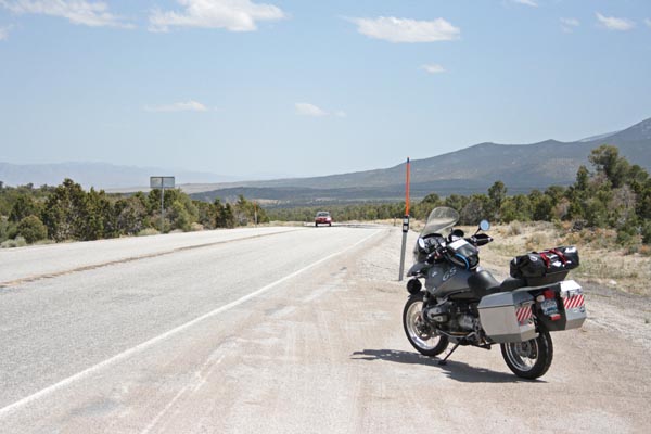
On US-50 about 10 miles west of the US-50/NV-487 intersection.
pavement - road bike
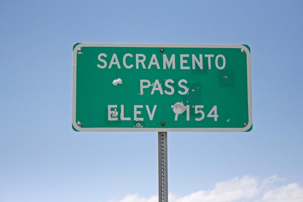
At the summit. |

At the summit, looking northwest. |
At the summit, looking southeast. |

At the summit, looking south. |

At the summit. |
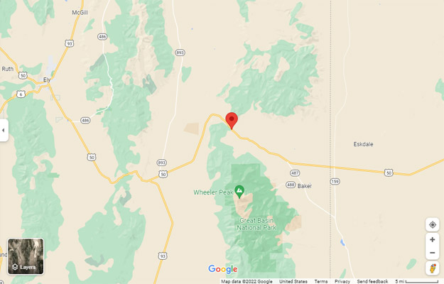
Google Maps |
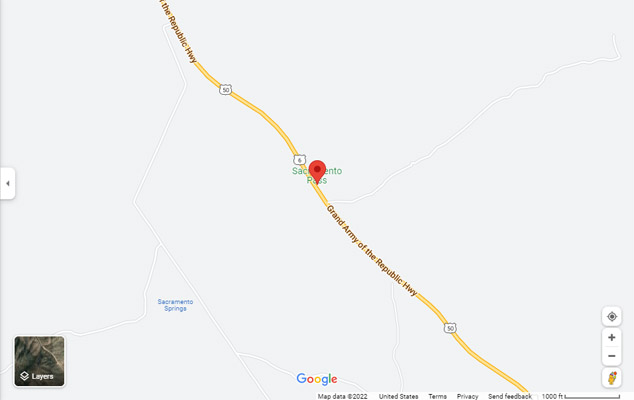
Google Maps |
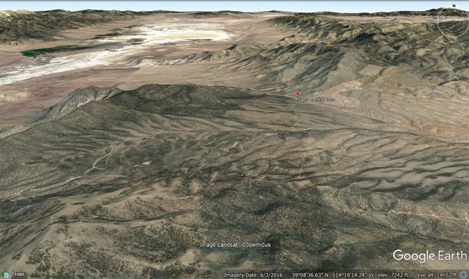
Google Earth |
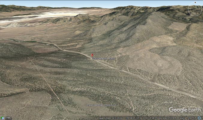
Google Earth |
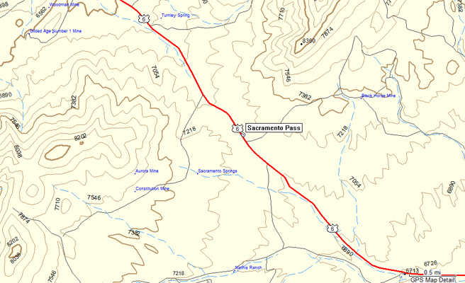
Garmin Mapsource |
| Feature Name | ID | Class | County | State | Latitude | Longitude | Ele(ft) | Map | BGN Date | Entry Date |
| Sacramento Pass | 861218 | Gap | White Pine | NV | 390837N | 1142012W | 7162 | Sacramento Pass | - | 12-DEC-1980 |