
Ohio Pass
|
Ohio Pass |
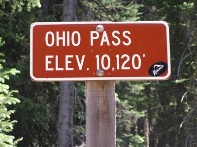
Ohio Pass - Gunnison County - Colorado - 10,065 feet
Ruby Anthracite Creek to north. Ohio Creek to east.
FR-730 northwest of Crested Butte
North side - gravel - road bike, dual sport better. South side - rough gravel - dual sport.
photos by Randy Bishop, 7/21/2017
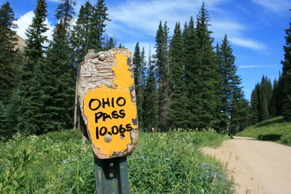
At the summit. |
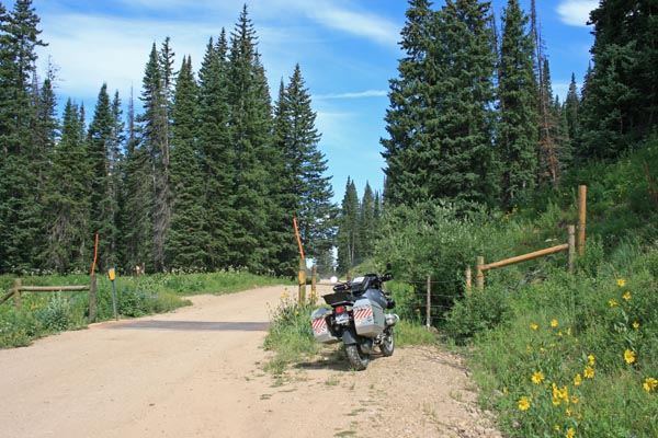
At the summit, looking north. |
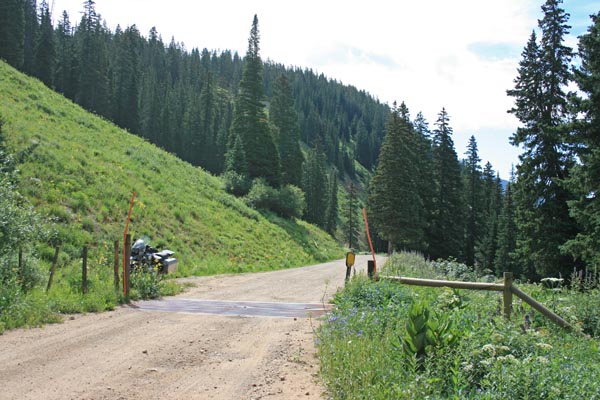
At the summit, looking south. |

At the summit. |
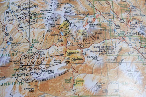
A map. |
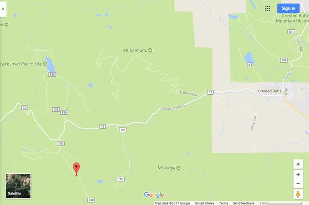
Google Maps |
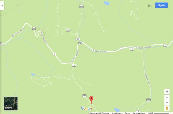
Google Maps |
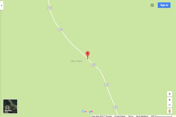
Google Maps |
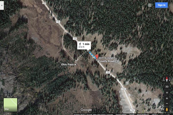
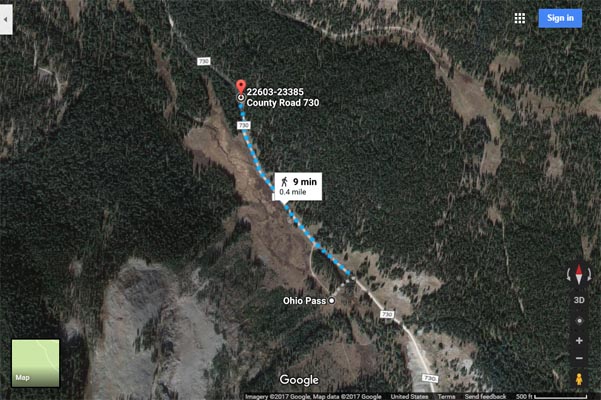
Google Maps, showing distance from USGS coordinates to current road. |
Google Maps, showing distance from USGS coordinates to old sign. |

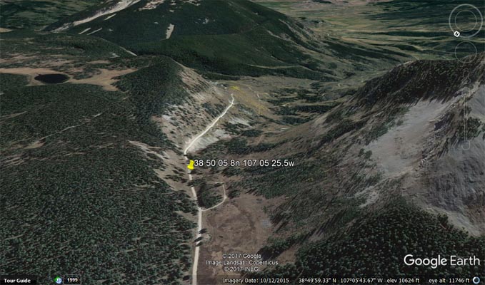
Google Earth, looking north. |
Google Earth, looking south. |
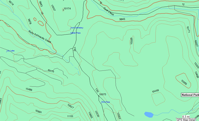
Garmin Mapsource |
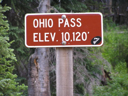
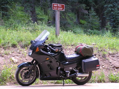
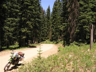
#59 - photos by Randy Bishop, 7/17/2006
After further review, these photos were taken on a hillside about 0.4 miles north of the summit as specified by the USGS.
It appears the sign, which is now gone, was incorrectly placed.
North of the summit. |
North of the summit. |
North of the summit, looking south. |
7/6/2007
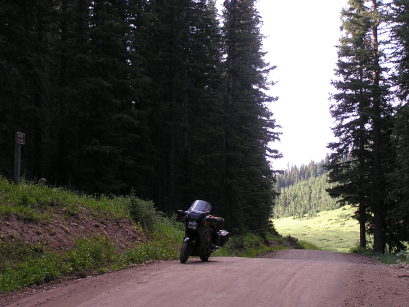
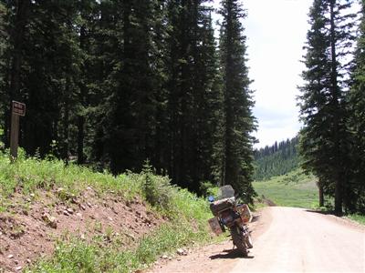
North of the summit. |

North of the summit. |
North of the summit, looking south. |
North of the summit, looking north. |

North of the summit. |
| Feature Name | ID | Class | County | State | Latitude | Longitude | Ele(ft) | Map | BGN Date | Entry Date |
| Ohio Pass | 186680 | Gap | Gunnison | CO | 385005N | 1070530W | 10065 | Mount Axtell | - | 13-OCT-1978 |