
Ophir Creek Pass
|
Ophir Creek Pass |
Ophir Creek Pass - Custer / Huerfano Counties - Colorado - 10,717 feet
Williams Creek to west. Ophir Creek to east.
South of Bigelow Pass and about 8 miles west of CO-165 via CR-361 and CR-360 (Ophir Creek Rd).
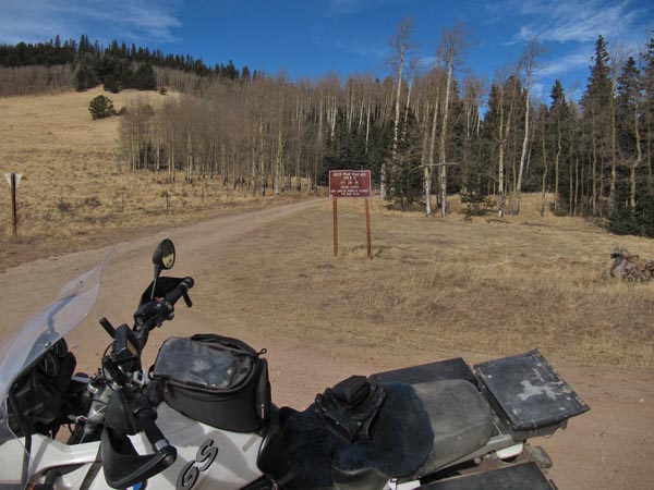
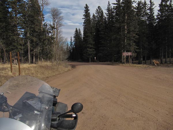
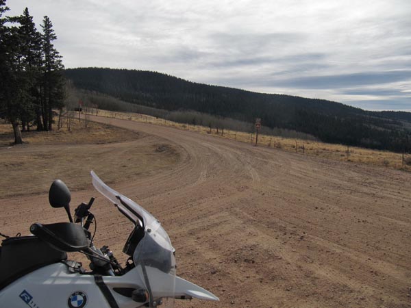
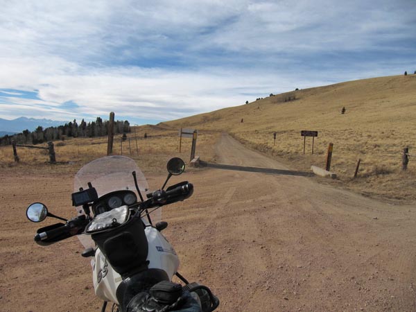
gravel - dual sport
photos by Karst Postma, 11/8/2012
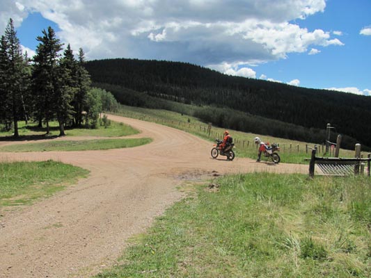
At the summit. |
At the summit. |
At the summit. |
At the summit. |
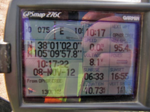
At the summit. |
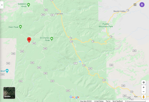
Google Maps |
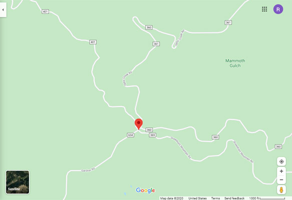
Google Maps |
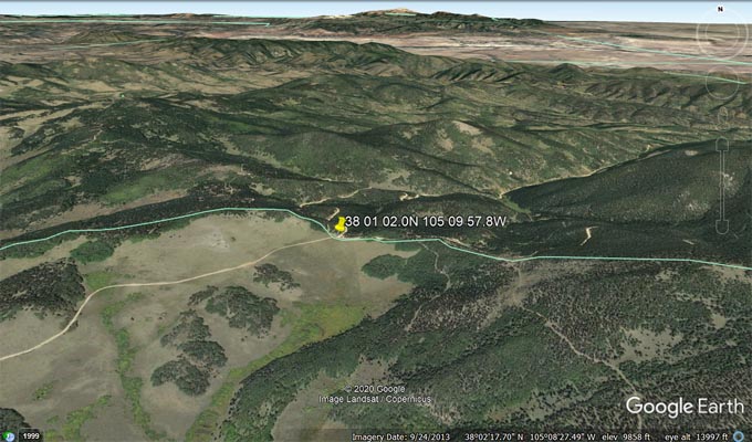
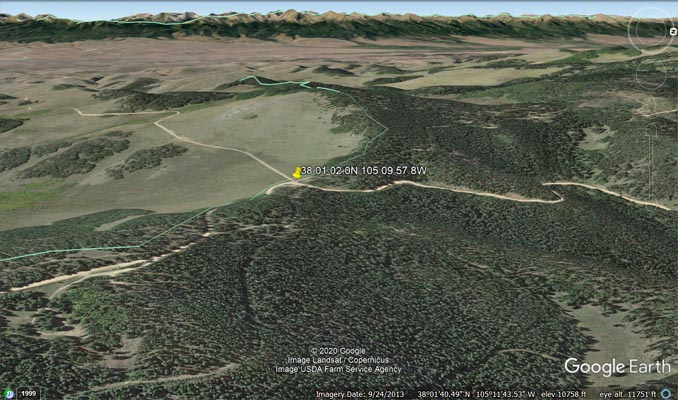
Google Earth, looking north. |
Google Earth, looking west. |
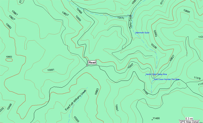
Garmin MapSource |
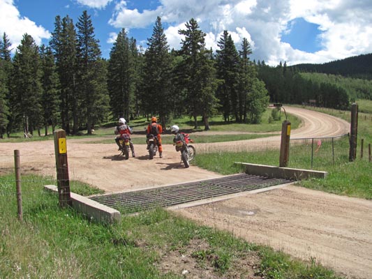
photos by Curtis Kohl
At the summit. |
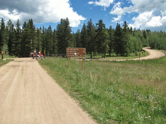
At the summit. |
At the summit. |
| Feature Name | ID | Class | County | State | Latitude | Longitude | Ele(ft) | Map | BGN Date | Entry Date |
| Ophir Creek | 192354 | Stream | Custer | CO | 380355N | 1050619W | 8756 | Saint Charles Peak | - | 13-OCT-1978 |
| Ophir Creek Campground | 192370 | Locale | Custer | CO | 380336N | 1050627W | 8858 | Saint Charles Peak | - | 13-OCT-1978 |