
Ophir Pass
|
Ophir Pass |
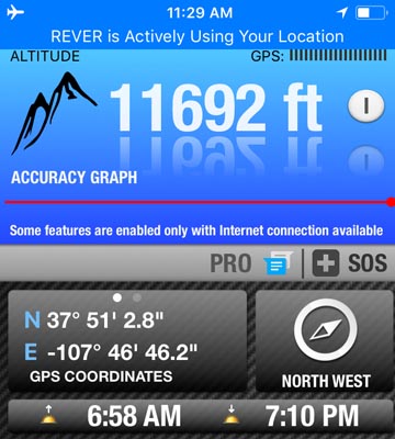
Ophir Pass - San Juan / San Miguel Counties - Colorado - 11,831 feet
Other name - Howard Pass
Howard Fork to west. Middle Fork Mineral Creek to east.
Between Silverton and Telluride.
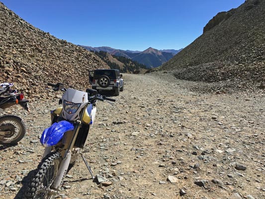
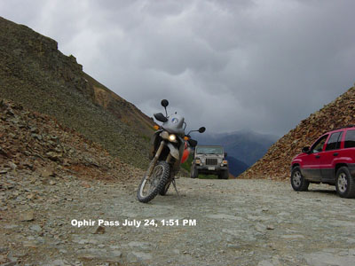
off-road - dirt bike or dual sport
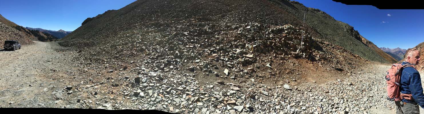
photos by John Meyer, 9/21/2018
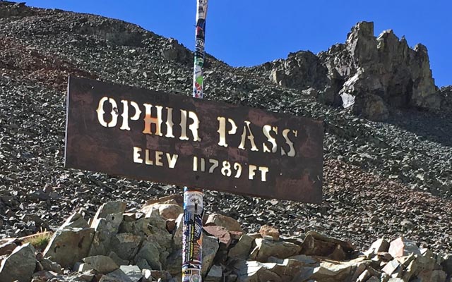
At the summit. |
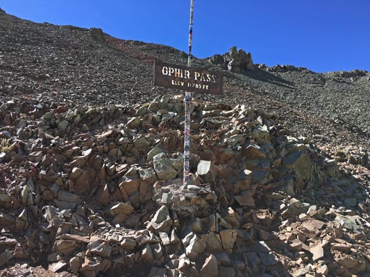
At the summit. |
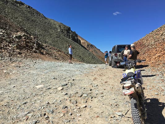
At the summit. |
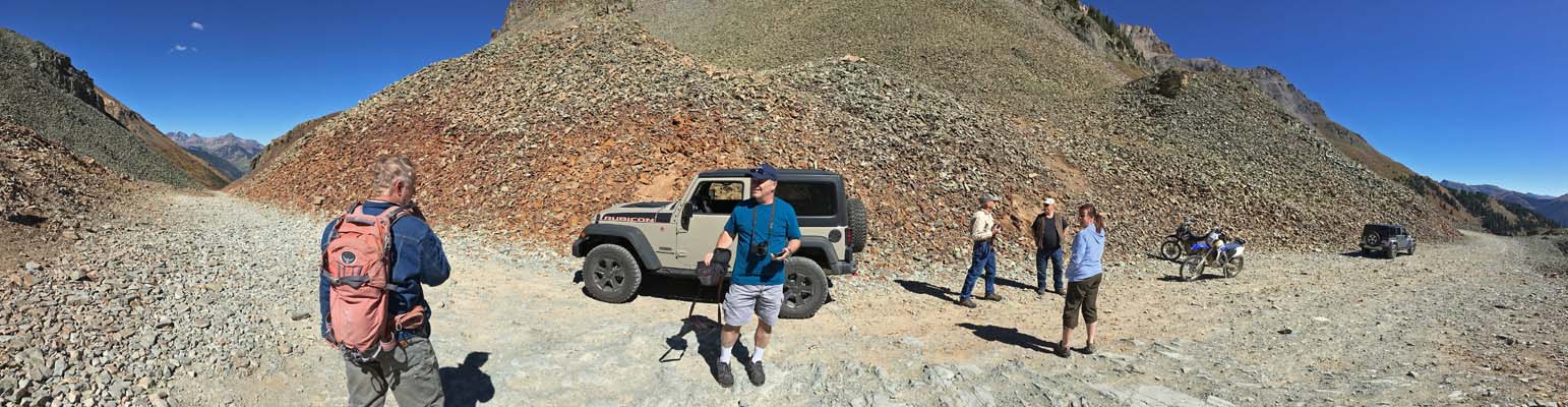
At the summit. |
At the summit. |
At the summit. |
At the summit. |
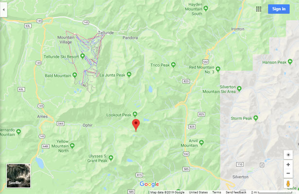
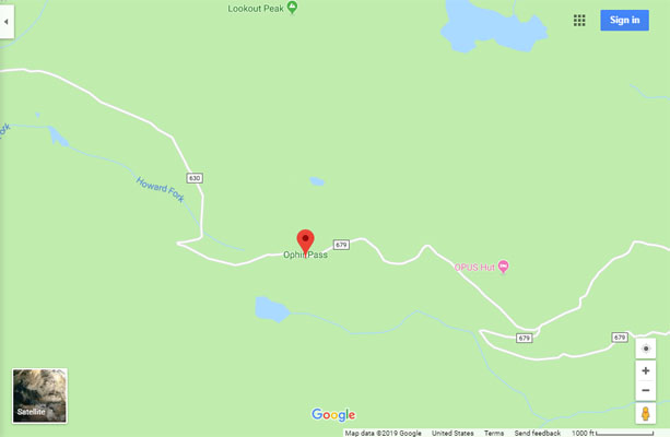
Google Maps |
Google Maps |
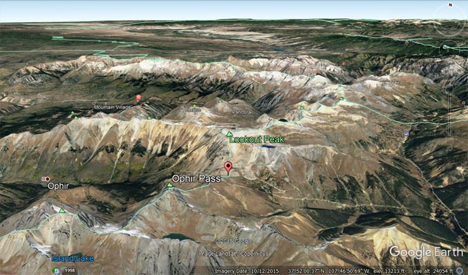
Google Earth |
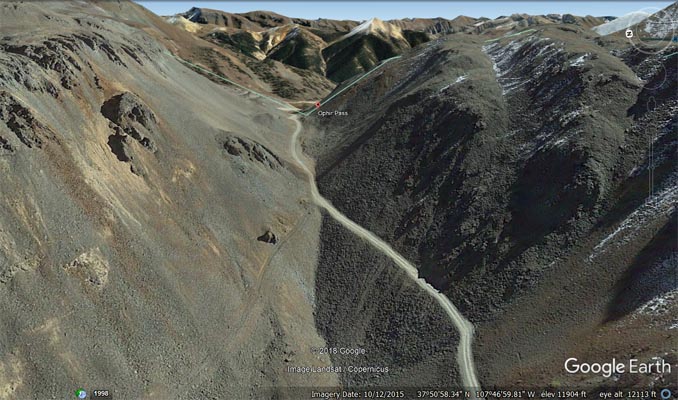
Google Earth, looking west. |
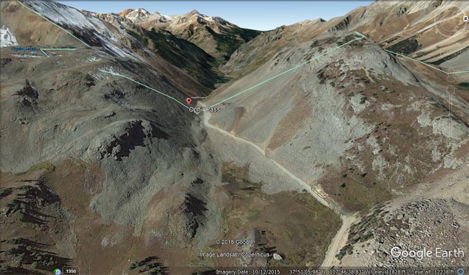
Google Earth, looking east |
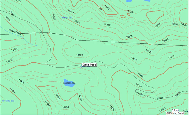
Garmin MapSource |
photo from Wade, 7/24/2004
At the summit. |
| Feature Name | ID | Class | County | State | Latitude | Longitude | Ele(ft) | Map | BGN Date | Entry Date |
| Ophir Pass | 187513 | Gap | San Miguel | CO | 375102N | 1074646W | 11831 | Ophir | - | 13-OCT-1978 |