
Paradise Divide
|
Paradise Divide |
Paradise Divide - Gunnison County - Colorado - 11,250 feet
Rock Creek to north. Slate River to south.
CR-734/FR-734 or FR-319 northeast of Crested Butte
gravel, rock, steep sections - dual sport
photos by John Meyer, 10/16/2016
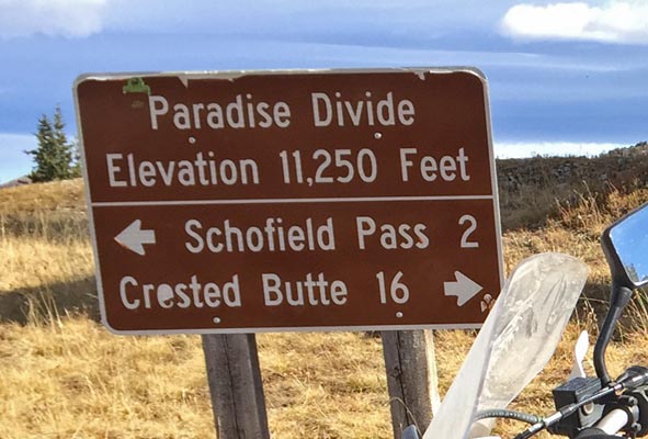
At the summit. |
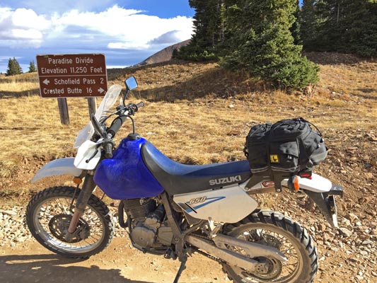
At the summit. |
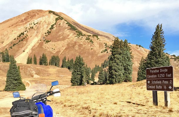
At the summit. |
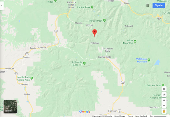
Google Maps |
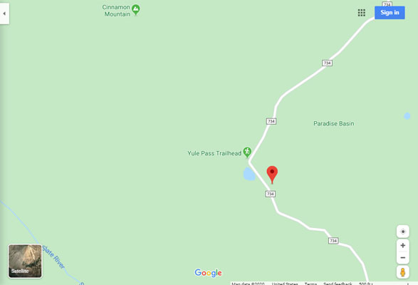
Google Maps |
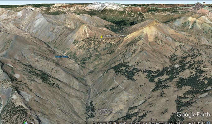
Google Earth |
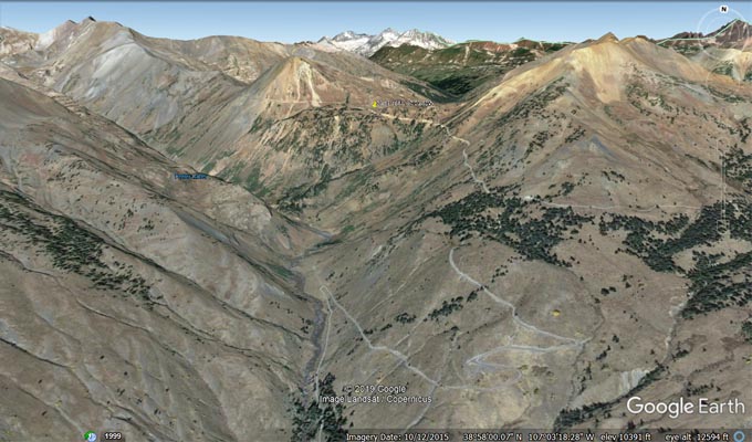
Google Earth |
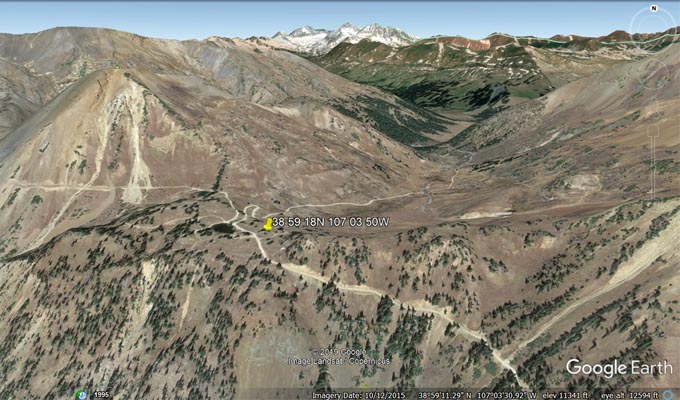
Google Earth |
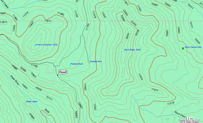
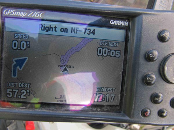
Garmin Mapsource |
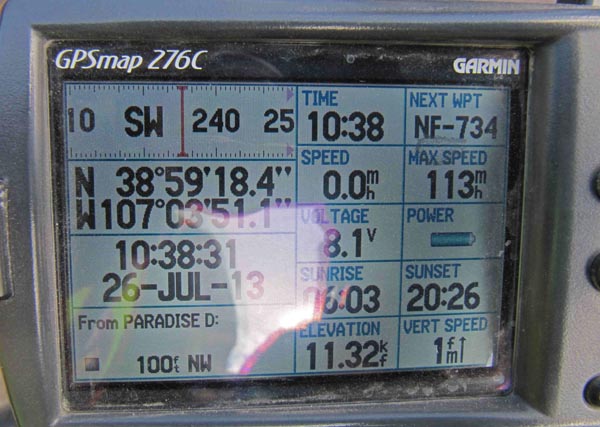
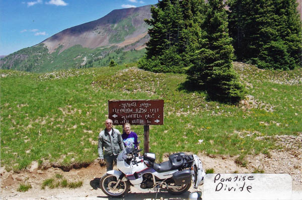
photos by Karst Postma, 7/26/2013

At the summit. |

At the summit. |
At the summit. |
At the summit. |
Notes from Karst: Doable on a big dual sport bike, but will require intermediate skills due to the steep rocky road and hairpins.
From Crested Butte, rode Slate River Road (CR-734) to Paradise Divide, then continued northeast on FR-319 to Schofield Pass.
photo by Roamin Carloski
At the summit. |
photos by Randy Bishop, 7/6/2007
(No photos at summit. Long story.)
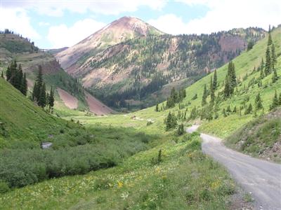
Along Slate River Road, looking north, just before the switchback up the steep part of the road. |

Along Slate River Road, looking south back towards Crested Butte. |
| Feature Name | ID | Class | County | State | Latitude | Longitude | Ele(ft) | Map | BGN Date | Entry Date |
| Paradise Basin | 186470 | Basin | Gunnison | CO | 385926N | 1070339W | 11109 | Oh-be-joyful | - | 13-OCT-1978 |