
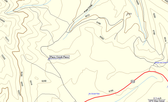
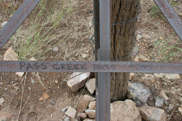
Pass Creek Pass
|
Pass Creek Pass |
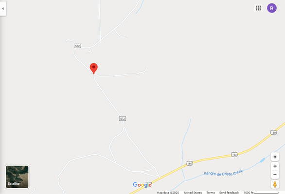
Pass Creek Pass - Costilla / Huerfano Counties - Colorado - 9,380 feet
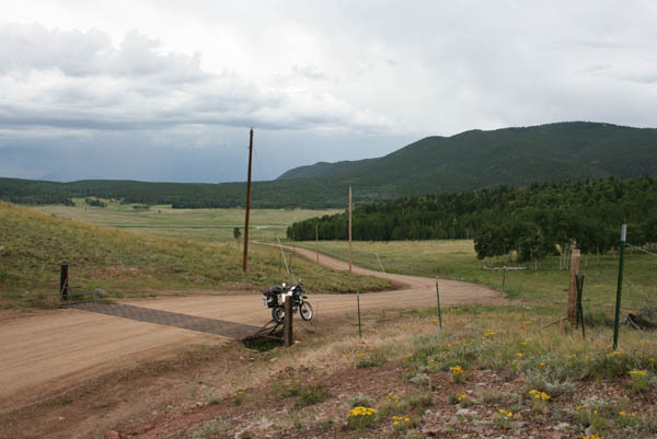
Pass Creek to north. Sangre de Cristo Creek to south.
On CR-572, 1 mile north of US-160 near La Veta Pass.
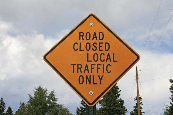
gravel - road bike or dual sport
photos by Randy Bishop, 7/21/2020
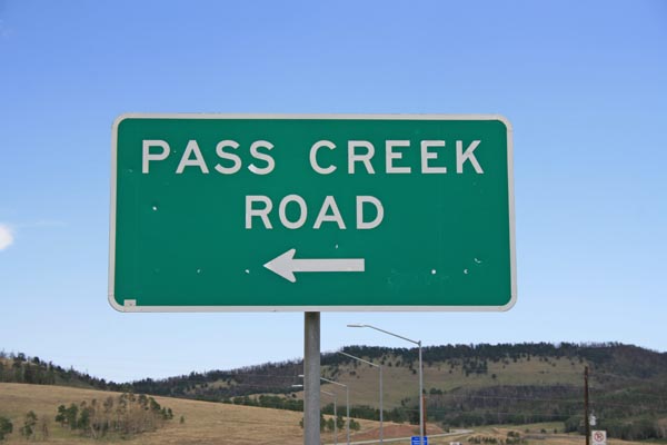
On eastbound US-160 at 37.608750N 105.219637W. |
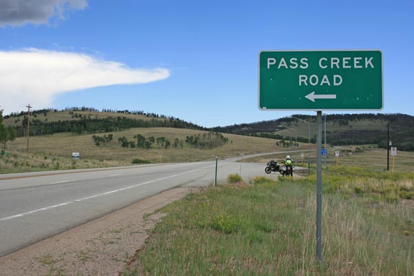
On eastbound US-160 at 37.608750N 105.219637W. |
At the summit, looking north. |
At the summit, looking north. |
At the summit, looking east. |
At the summit, looking northwest. |
At the summit, looking southeast. |

At the summit. |
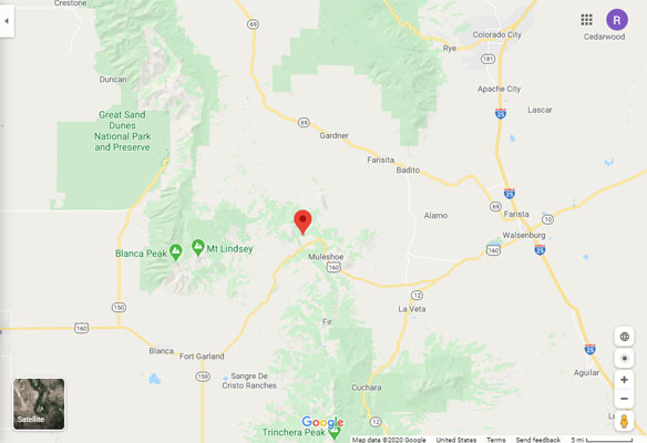
Google Maps |
Google Maps |
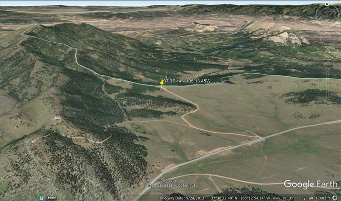
Google Earth |
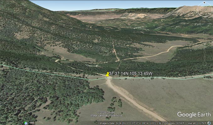
Google Earth |
Garmin MapSource |
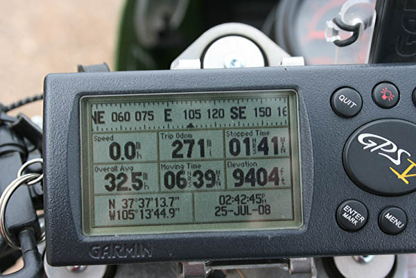
#121 - photos by Randy Bishop, 7/25/2008
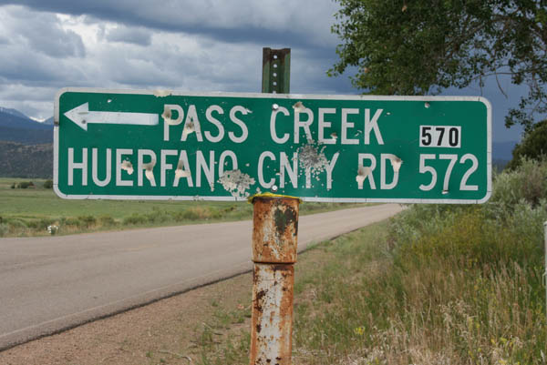
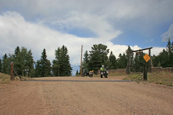
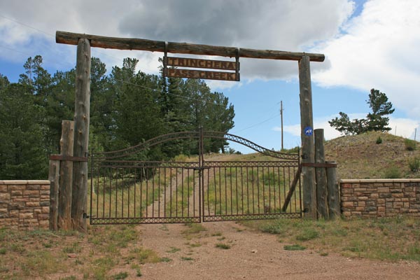
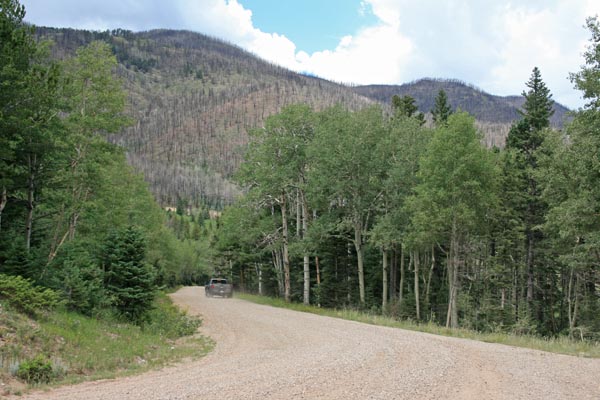
West of Gardner, about 7.5 miles to summit. |
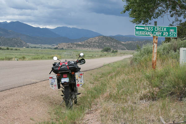
West of Gardner, about 7.5 miles to summit. |
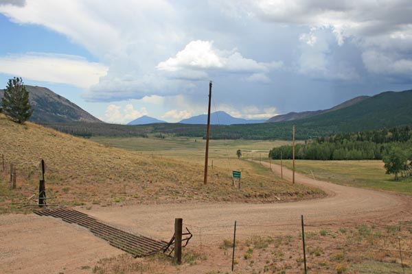
At the summit. |

At the summit, looking northwest. |
At the summit, looking southeast. |
At the summit. |
| Feature Name | ID | Class | County | State | Latitude | Longitude | Ele(ft) | Map | BGN Date | Entry Date |
| Pass Creek Pass | 192773 | Gap | Costilla | CO | 373714N | 1051346W | 9380 | La Veta Pass | - | 13-OCT-1978 |
| Pass Creek | 192596 | Stream | Huerfano | CO | 374604N | 1051236W | 7155 | Gardner | - | 13-OCT-1978 |