
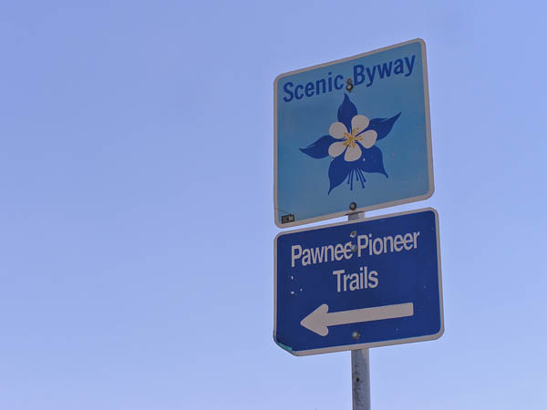
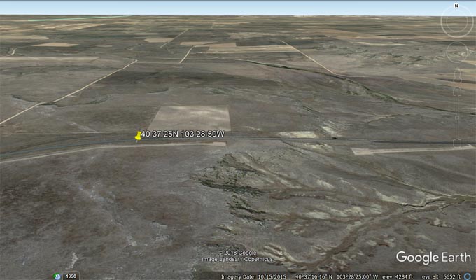
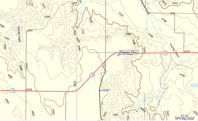
Pawnee Pass
|
Pawnee Pass |
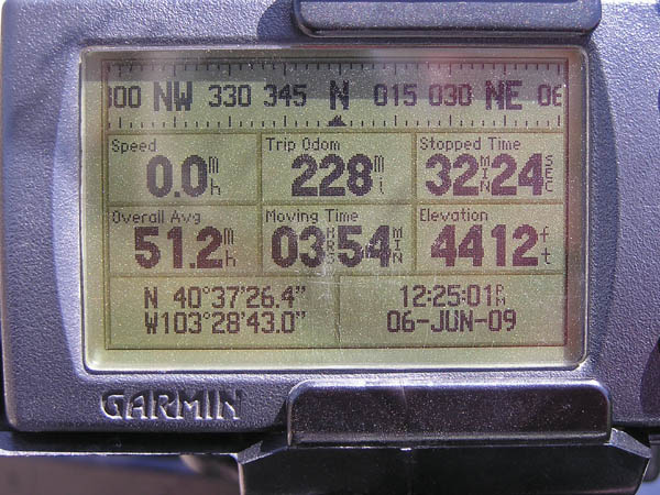
Pawnee Pass - Logan County - Colorado - 4,424 feet
Pawnee Creek to north. Sand Creek to south.
West of Sterling on CO-14, between mile markers 222 and 223.
paved - road bike
#130 - photos by Randy Bishop, 6/6/2009
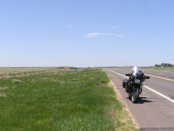
West of the summit. |

West of the summit. |
At the summit looking west. |
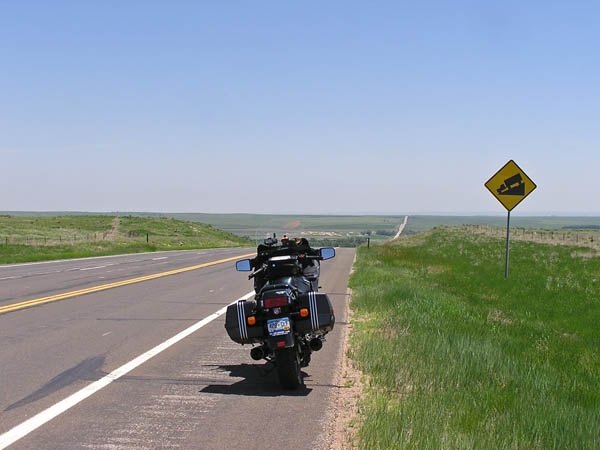
At the summit looking east. |
At the summit. |
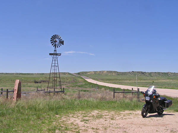
Looking west toward the summit. |
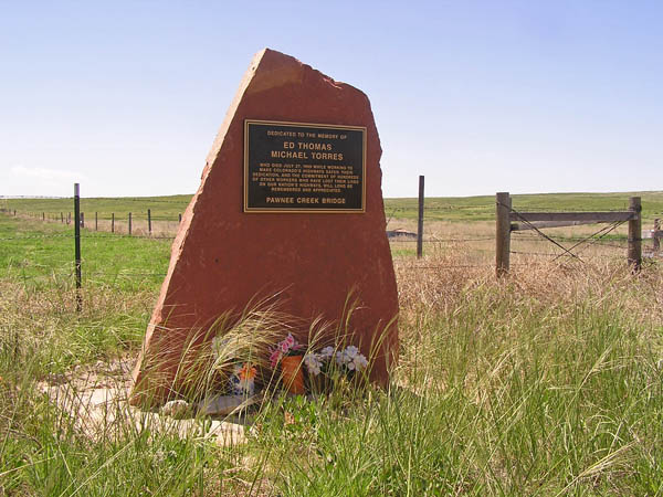
Memorial near Pawnee Creek. |
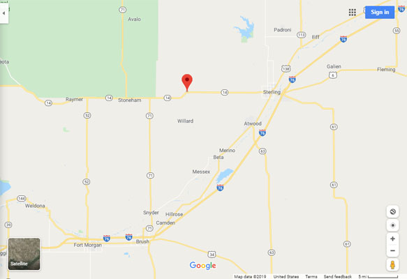
Google Maps |
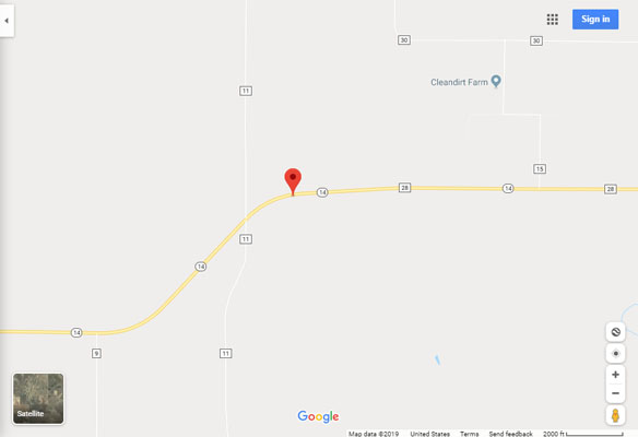
Google Maps |
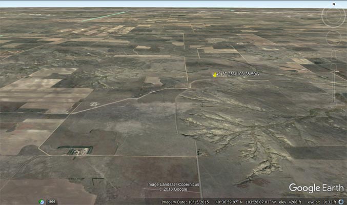
Google Earth |
Google Earth |
Garmin MapSource |
| Feature Name | ID | Class | County | State | Latitude | Longitude | Ele(ft) | Map | BGN Date | Entry Date |
| Pawnee Pass | 182784 | Gap | Logan | CO | 403725N | 1032850W | 4419 | Willard | - | 13-OCT-1978 |