
Pearl Pass
|
Pearl Pass |
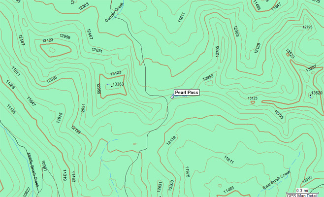
Pearl Pass - Gunnison / Pitkin Counties - Colorado - 12,705 feet
Copper Creek to north. East Brush Creek to south.
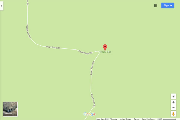
Between Aspen and Crested Butte on Pearl Pass Road. FR-102 on north side, FR-738 on south side.
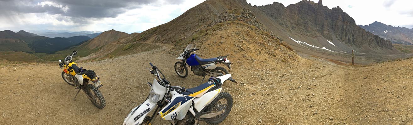
off-road - dirt bike or dual-sport
Reference: Guide to Colorado Backroads & 4-Wheel Drive Trails, by Charles A. Wells
photos by John Meyer, 09/10/2017
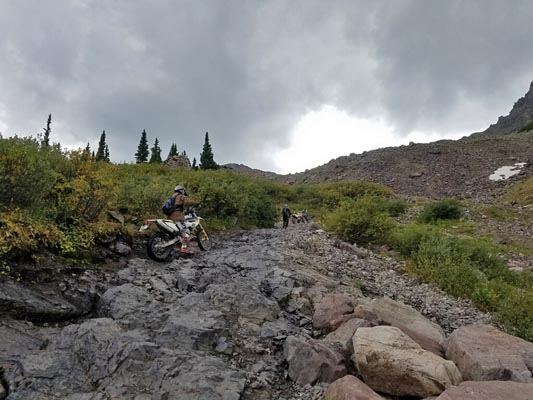
On the way to the summit. |
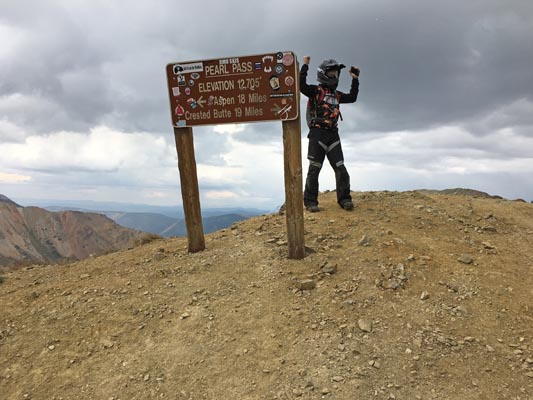
At the summit. |

At the summit. |

At the summit. |

At the summit. |
At the summit. |

At the summit. |
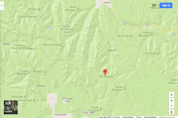
Google Maps |
Google Maps |
Google Mapsource |
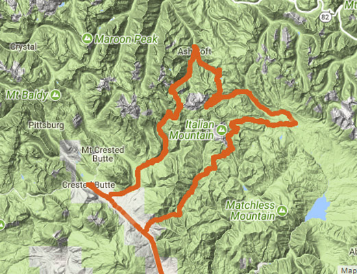
Gunnison - Reno Divide - Spring Creek Pass - Taylor Pass - Pearl Pass- Gunnison |
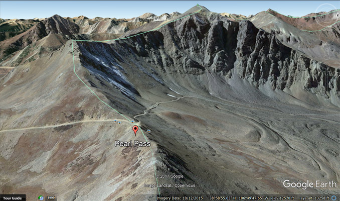
Google Earth, looking north from Crested Butte. |
Google Earth, looking north up FR-738. |
Google Earth, looking north up FR-738. |
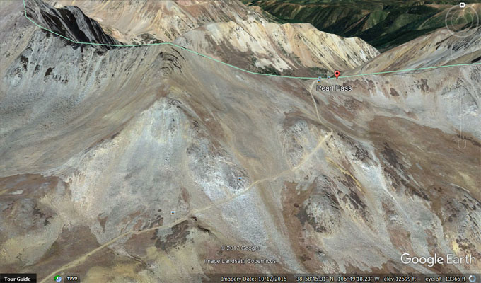
Google Earth, looking west, FR-738 to left, FR-102 to right. |
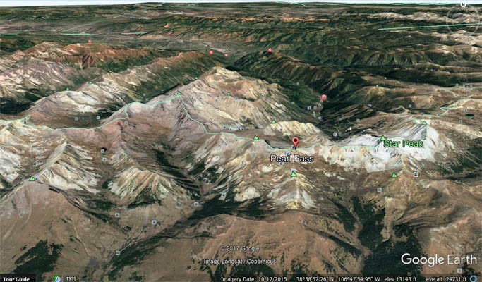
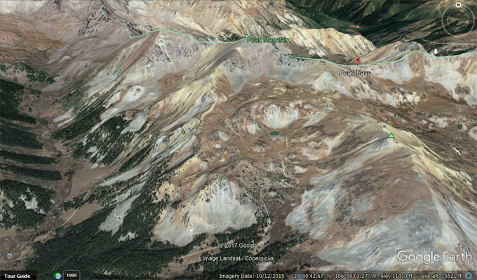
Google Earth, looking south from Aspen and Ashcroft. |
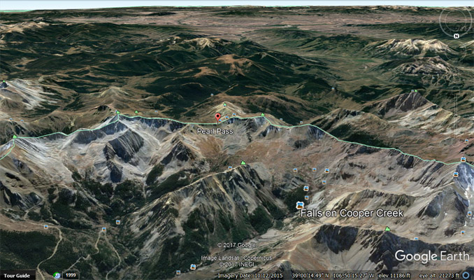
Google Earth, looking south up Cooper Creek. |
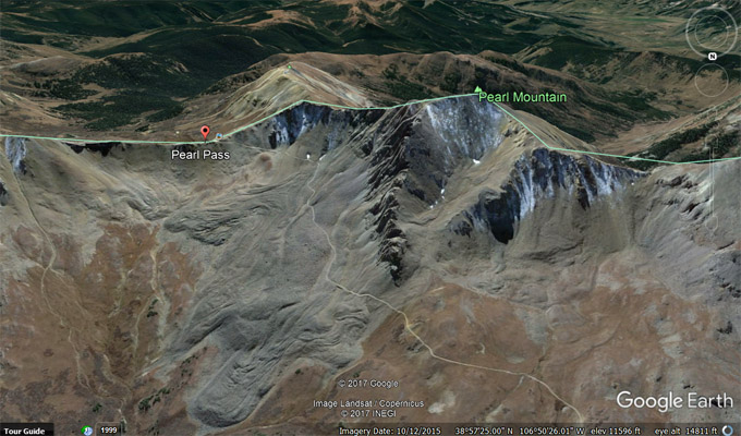
Google Earth, looking south up FR-102. |
Notes from John: As you can see (on the https://rever.co track map) we approached Taylor Pass from the south after doing Reno Divide and Spring Creek Passes.
...I would recommend doing Taylor Pass from the Aspen (Ashcroft) side on FR-15C.
Pearl Pass, approaching from the north on FR-15D from Ashcroft had very long stretches of loose rocky sections. The photo was taken with me with the new
Husqvarna (about ˝ mile from the top) climbing a rocky section and then continuing up one of the loose rocky sections. In my opinion either the Crested Butte
side or the Ashcroft side for Pearl would be similar in difficulty.
| Feature Name | ID | Class | County | State | Latitude | Longitude | Ele(ft) | Map | BGN Date | Entry Date |
| Pearl Pass | 188784 | Gap | Gunnison | CO | 385846N | 1064924W | 12713 | Pearl Pass | - | 13-OCT-1978 |