
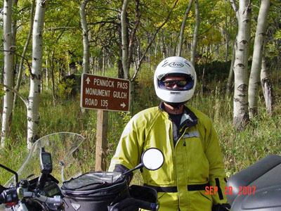
Pennock Pass
|
Pennock Pass |
Pennock Pass - Larimer County - Colorado - 9,143 feet
Cache la Poudre River to west. Box Prairie Creek to east.
Northwest of Loveland and Masonville on CR-44H (Buckhorn Canyon Road).
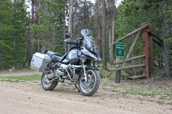
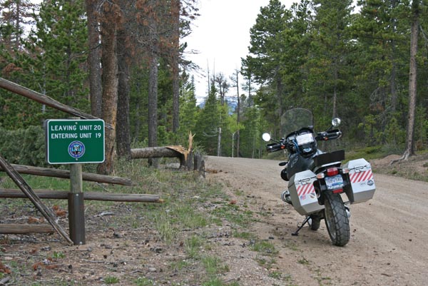
gravel and treated gravel - dual sport
#138 - photos by Randy Bishop, 6/2/2012
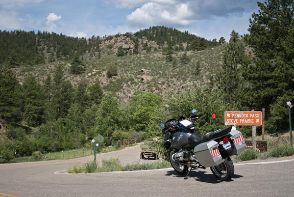
At the turn off CR-27, 15 miles east of the summit. |
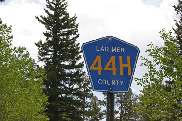
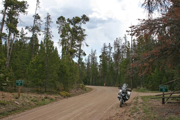
CR-44H (Buckhorn Rd) |
Along CR-44H. |
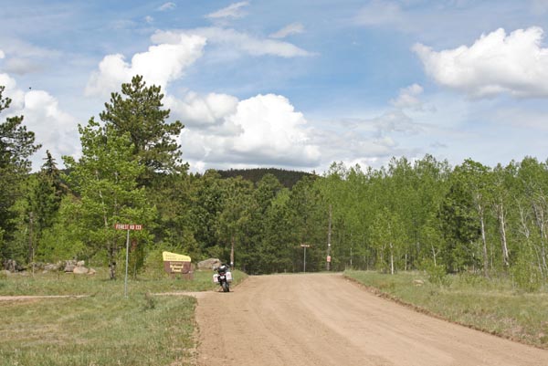
Buckhorn Ranger Station, 3.5 miles east of the summit. |
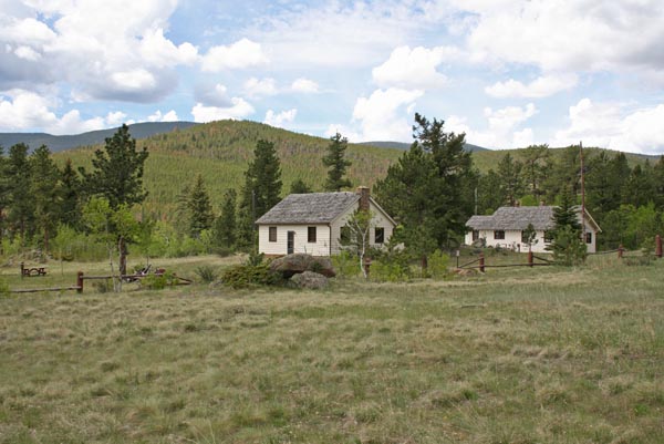
Buckhorn Ranger Station east of the summit. |

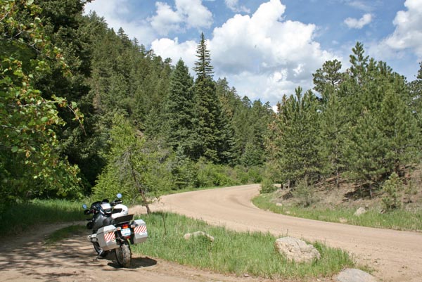
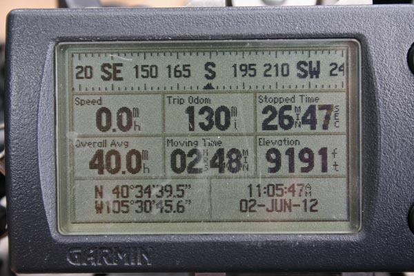
2.5 miles east of the summit. |
At the summit, looking east. |
At the summit. |
At the summit, looking west. |
At the summit. |
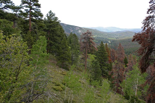
Near the summit, looking east. |
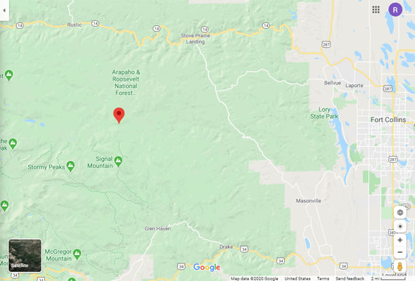
Google Maps |
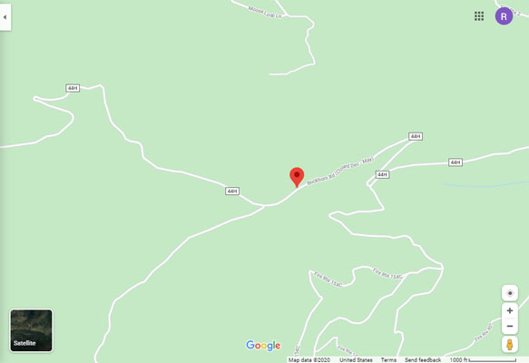
Google Maps |
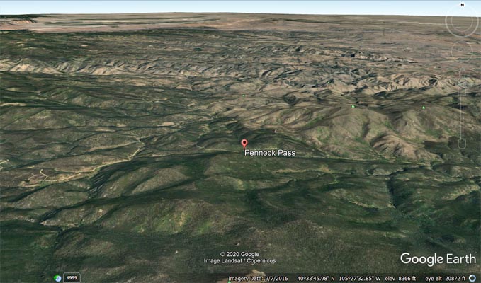
Google Earth |
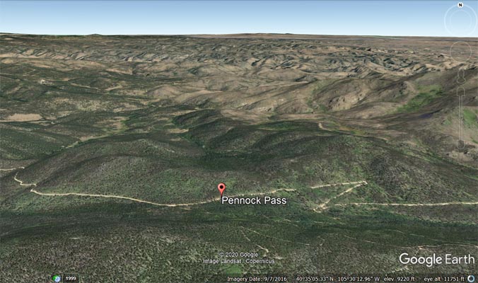
Google Earth |
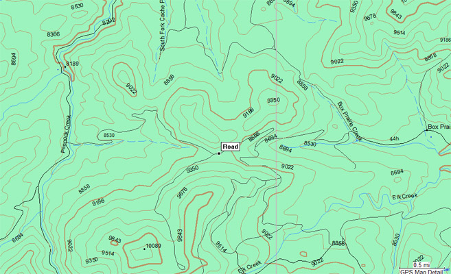
Garmin MapSource |
photo by Joel Schnauzer, 9/20/2007; photo by Roamin Carloski
2.5 miles east of the summit. |

3.5 miles east of the summit. |
| Feature Name | ID | Class | County | State | Latitude | Longitude | Ele(ft) | Map | BGN Date | Entry Date |
| Pennock Pass | 177307 | Gap | Larimer | CO | Unknown | Unknown | - | Big Narrows | - | 13-OCT-1978 |
| Feature Name | ID | Class | County | State | Latitude | Longitude | Ele(ft) | Map | BGN Date | Entry Date |
| Pennock Creek | 177323 | Stream | Larimer | CO | 403529N | 1053243W | 8179 | Pingree Park | 01-JAN-1932 | 13-OCT-1978 |
| Pennock Creek Dam | 201278 | Dam | Larimer | CO | 403342N | 1053438W | 9314 | Pingree Park | - | 01-SEP-1994 |
| Pennock Creek Reservoir | 201279 | Reservoir | Larimer | CO | 403341N | 1053447W | 9314 | Pingree Park | - | 01-SEP-1994 |