
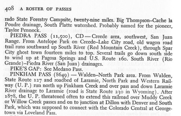
Pinkham Pass
|
Pinkham Pass |
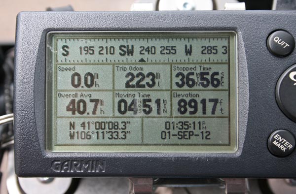
Pinkham Pass - Jackson County, Colorado / Albany County, Wyoming - 8,917 feet
Pinkham and Camp Creeks to south. Johnson Creek and Laramie River to north.
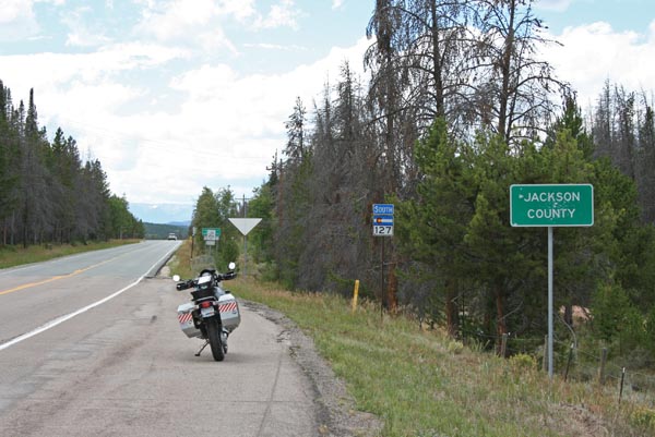
North of Walden on CO-127 / WY-230.
paved - road bike
#144 - photos by Randy Bishop, 9/1/2012
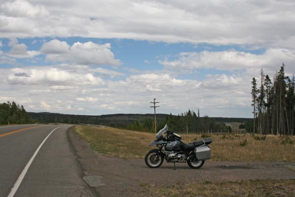
At the summit, looking northeast. |
At the summit, looking southwest. |
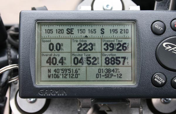
At the summit. |
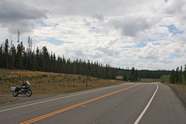
1/2 mile from summit where the pass crosses into Wyoming, looking southwest. |

1/2 mile from summit. Notice Wapiti Way on the left, where the old railbed is now a bicycle path. |
1/2 mile from summit where the pass crosses into Wyoming. |
From "The Great Gates", by Marshall Sprague. |
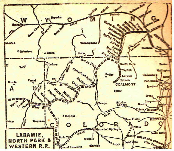
Laramie, North Park & Western R.R. map. |
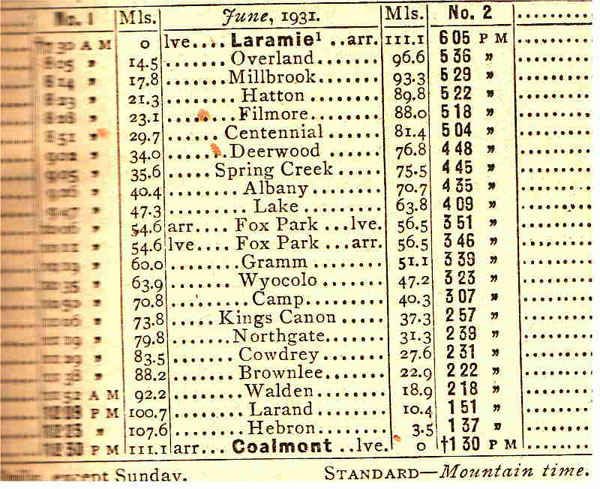
Laramie, North Park & Western R.R. map. |
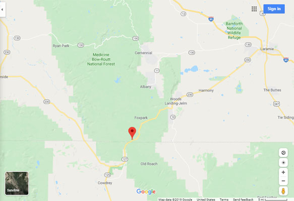
Google Maps |
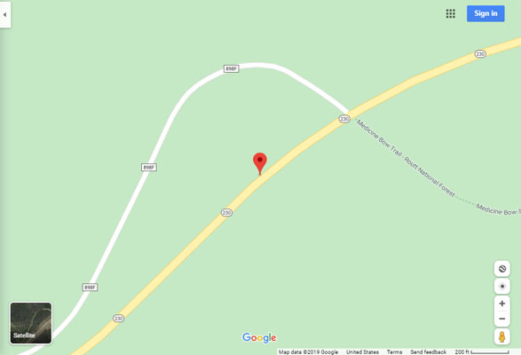
Google Maps |
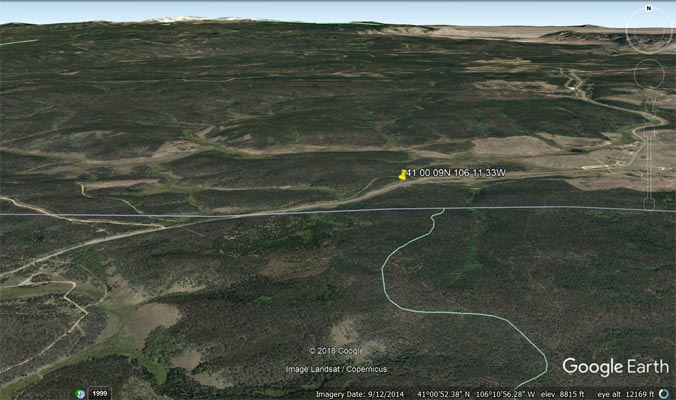
Google Earth |
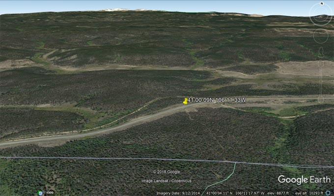
Google Earth |
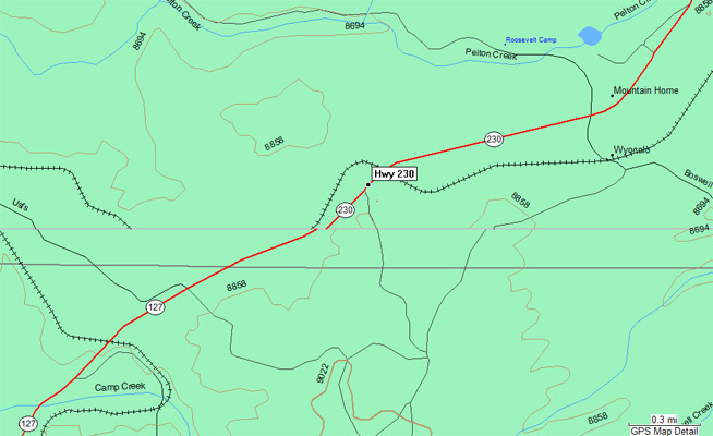
Garmin MapSource |
Parts of the old Laramie, North Park & Western Railroad bed are now the Medicine Bow Rail-Trail.
Check these links:
Cycle Wyoming,
Medicine Bow Rail Trail,
Rails to Trails Conservancy.
| Feature Name | ID | Class | County | State | Latitude | Longitude | Ele(ft) | Map | BGN Date | Entry Date |
| Pinkham Mountain | 201887 | Summit | Jackson | CO | 405610N | 1061504W | 9265 | Northgate | - | 13-OCT-1978 |
| Pinkham Creek | 170006 | Stream | Jackson | CO | 405446N | 1062017W | 7841 | Northgate | - | 13-OCT-1978 |