
Poncha Pass
|
Poncha Pass |
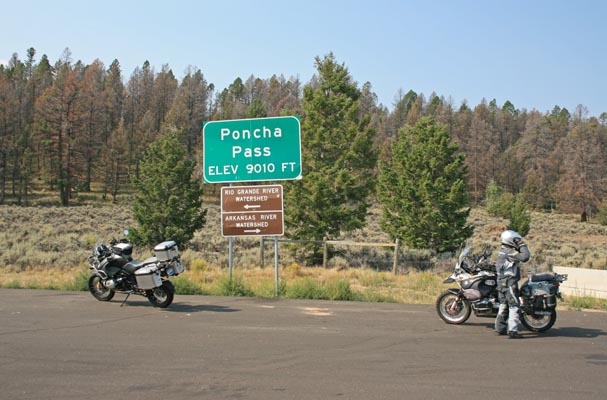
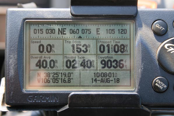
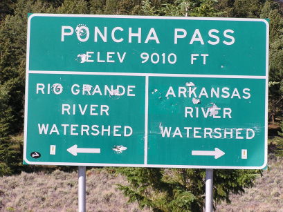
Poncha Pass - Chaffee / Saguache Counties - Colorado - 9,010 feet
(other names - Gunnison's, Puncho)
San Luis Creek to south. Poncha Creek to north.
US-285 south of Poncha Springs
pavement - road bike
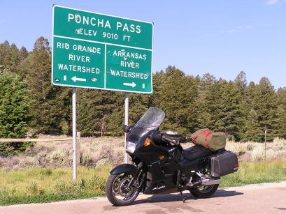
photos by Randy Bishop, 8/14/2018
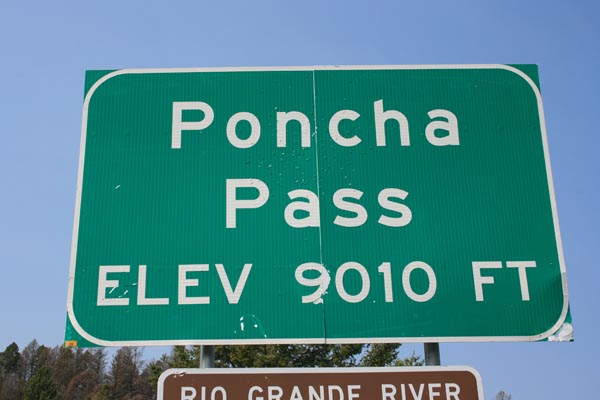
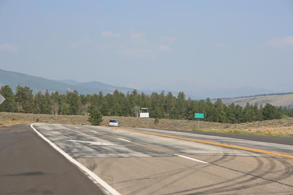
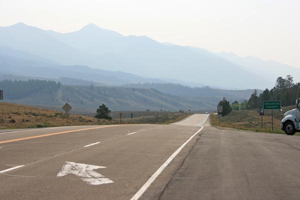
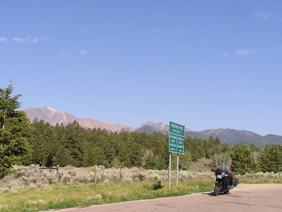
At the summit. |
At the summit. |
At the summit, looking north. |
At the summit, looking south. |
At the summit. |
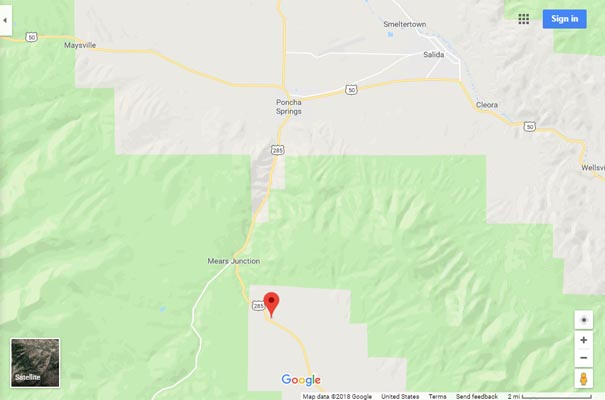
Google Maps |
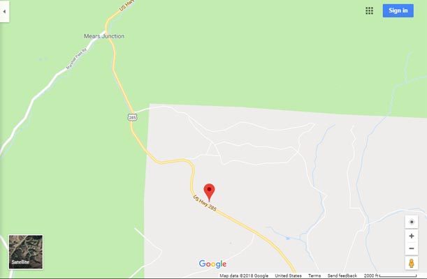
Google Maps |
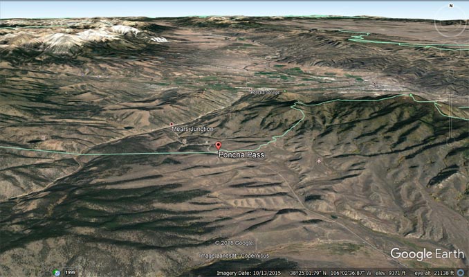
Google Earth |
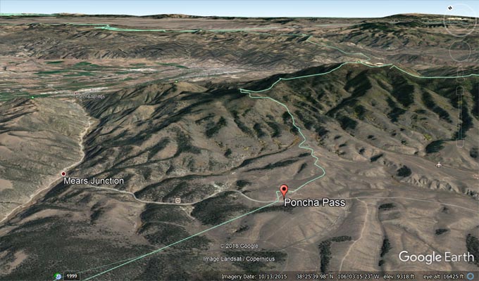
Google Earth, looking northeast. |
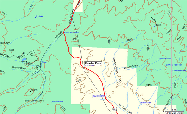
Garmin Mapsource |
photos by Randy Bishop, 7/5/2007

At the summit, looking northwest. |

At the summit. |
#42 - photos by Randy Bishop, 7/15/2006
At the summit. |
At the summit. |
At the summit, looking northwest. |
| Feature Name | ID | Class | County | State | Latitude | Longitude | Ele(ft) | Map | BGN Date | Entry Date |
| Poncha Pass | 189873 | Gap | Chaffee | CO | 382520N | 1060513W | 9009 | Poncha Pass | - | 13-OCT-1978 |