
Prairie Divide
|
Prairie Divide |
Prairie Divide - Larimer County - Colorado - 7,936 feet
Bull Creek to west. North Fork of Rabbit Creek to east.
Prairie Divide Rd (CR-67J and CR-179) northeast of Red Feather Lakes.
gravel - dual sport
#132 - photos by Randy Bishop, 7/2/2011
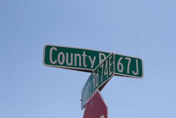
At the turn to Red Feathers Lake Village via CR-67J. |
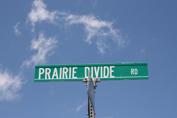
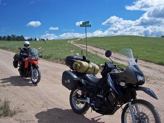
Praire Divide Road. |
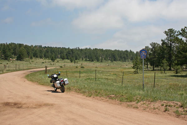
On CR-179 at Kellys Korner. |

Near the summit, looking north. |

Near the summit, looking south. |
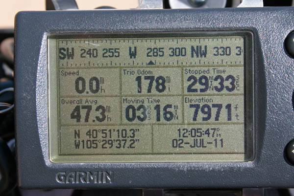
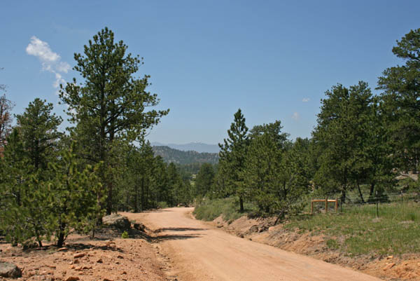
Near the summit. |
Just over the summit, looking south. |
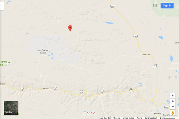
Google Maps |
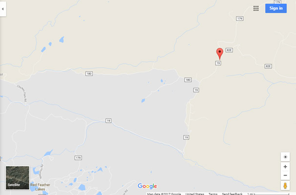
Google Maps |
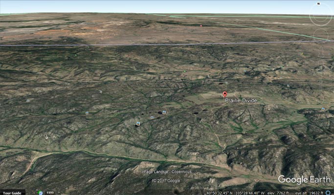
Google Earth |
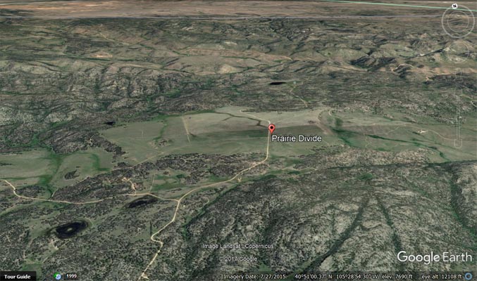
Google Earth |

Garmin Mapsource |
photos by Cathy Catrell, 6/26/2015
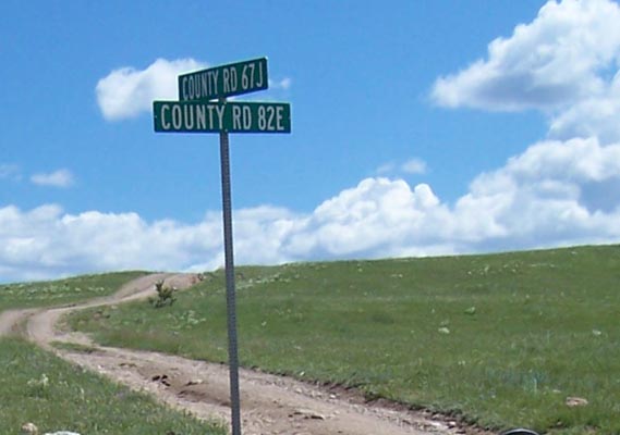
Near the summit. |
Near the summit. |
| Feature Name | ID | Class | County | State | Latitude | Longitude | Ele(ft) | Map | BGN Date | Entry Date |
| Prairie Divide | 201902 | Flat | Larimer | CO | 405120N | 1052932W | 7940 | Haystack Gulch | - | 13-OCT-1978 |