
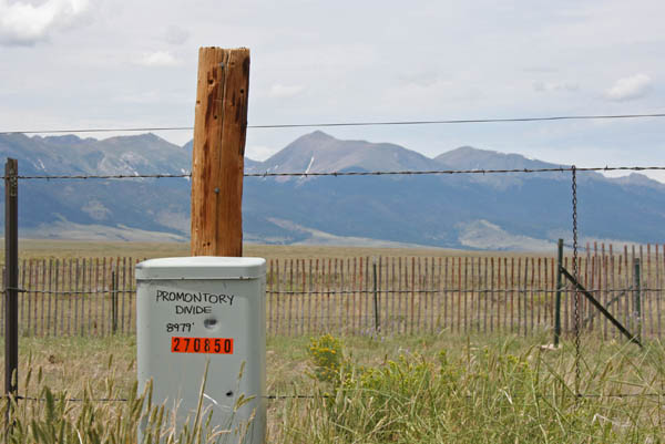
Promontory Divide
|
Promontory Divide |
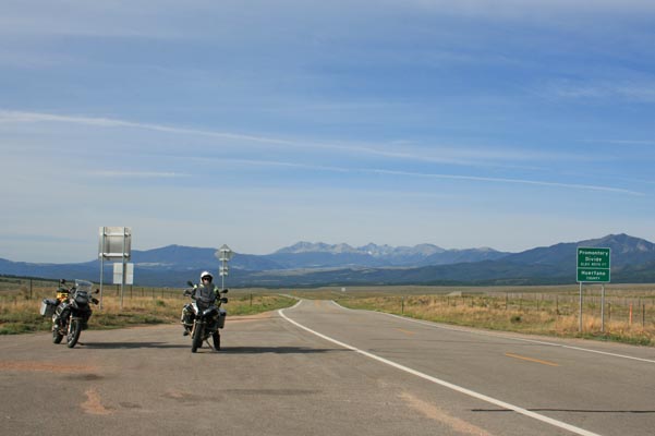
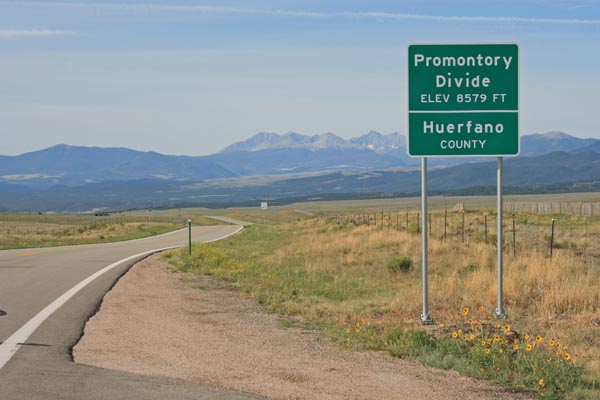
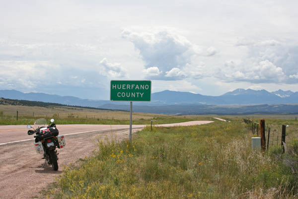
Promontory Divide - Custer/Huerfano Counties - Colorado - 8,579 feet
Antelope Creek to north. Muddy Gulch to south.
On CO-69 south of Westcliffe.
paved - road bike
photos by Randy Bishop, 7/22/2020
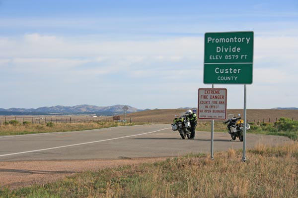
At the summit, looking north. |
At the summit, looking south. |
At the summit, looking south. |
At the summit. |
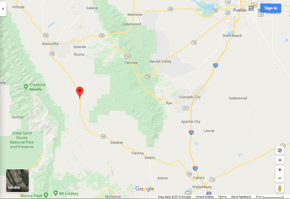
Google Maps |
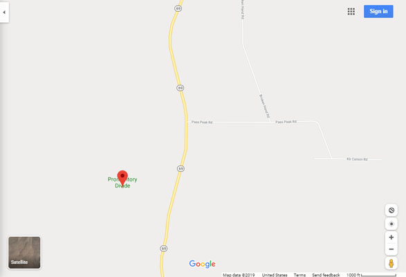
Google Maps |
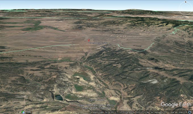
Google Earth |
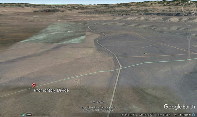
Google Earth |
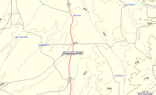
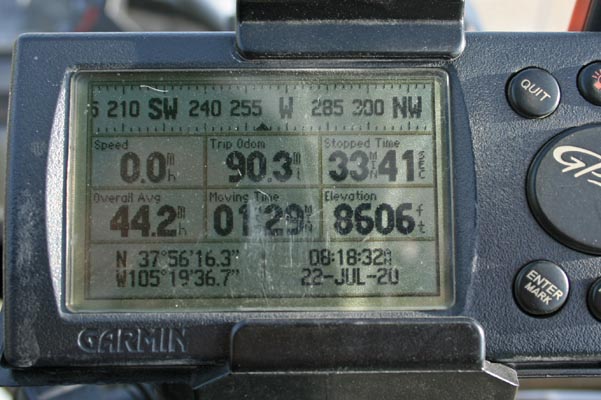
Garmin MapSource |
#119 - photos by Randy Bishop, 7/25/2008

At the summit, looking north. |
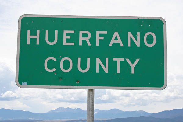
At the summit, looking south. |
At the summit, looking south. |
At the summit, looking west. |
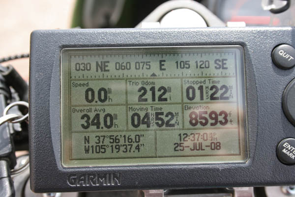
At the summit. |
| Feature Name | ID | Class | County | State | Latitude | Longitude | Ele(ft) | Map | BGN Date | Entry Date |
| Promontory Divide | 203592 | Ridge | Custer | CO | 375605N | 1052000W | 8606 | Devils Gulch | - | 13-OCT-1978 |