
Ptarmigan Pass
|
Ptarmigan Pass |
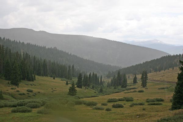
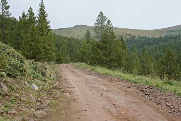
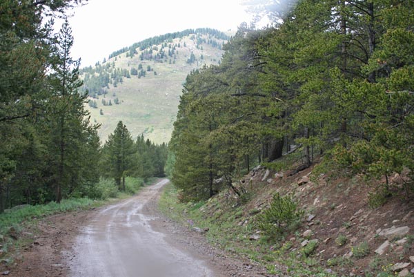
Ptarmigan Pass - Eagle / Summit Counties - Colorado - 11,765 feet
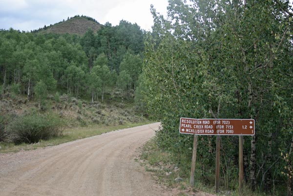
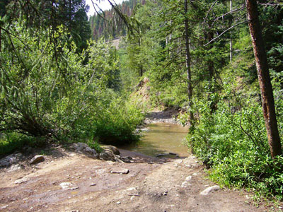
Resolution Creek to west. Wilder Gulch to east.
Northeast of Camp Hale at the end of FR-702 (Resolution Creek Road).
From south: gravel - dual sport. From north: off-road, dirt bike or dual sport.
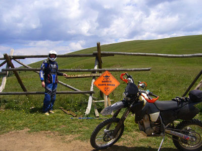
photos by Randy Bishop, 7/15/2012
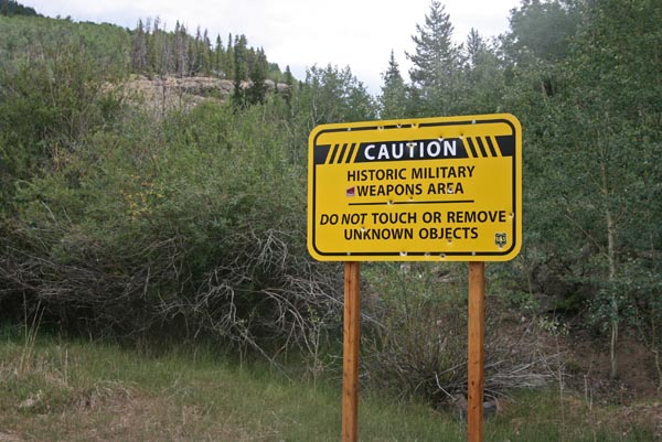
At NE corner of Camp Hale. |
At NE corner of Camp Hale. |
At the summit, looking east. |
At the summit, looking north. |
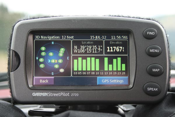
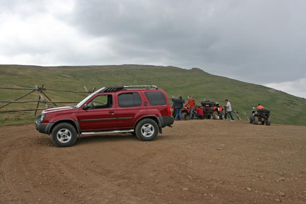
At the summit. |

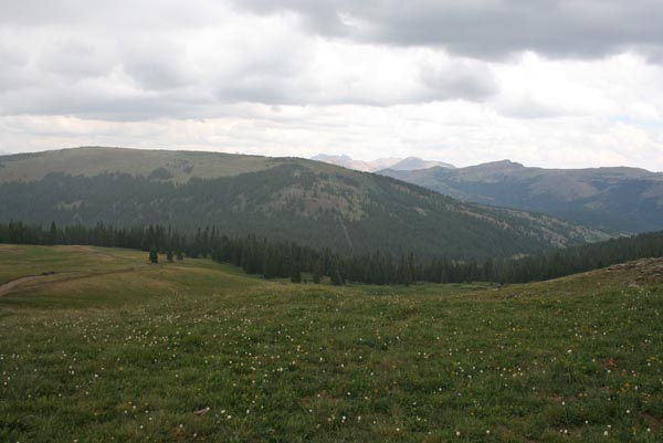
At summit, looking southwest. |
Near the summit, looking southwest. |
Southwest of the summit. |
Southwest of the summit. |
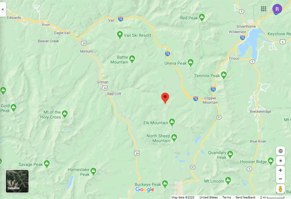
Google Maps |
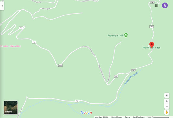
Google Maps |
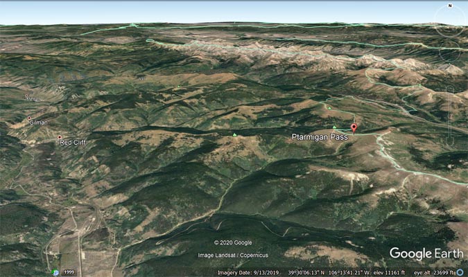
Google Earth |
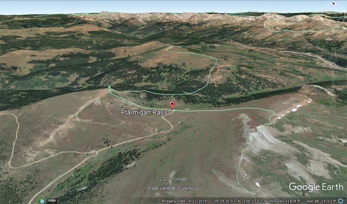
Google Earth |
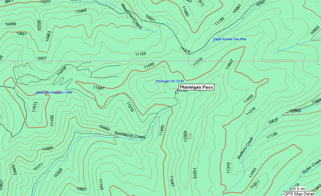
Garmin Mapsource |
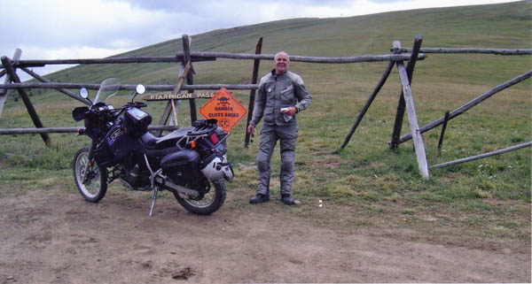
photos by Deward Knapp, 7/23/2006; photo by Roamin Carloski

At the summit, looking southwest. |
Deward Knapp at the summit. |
North of the summit. |
At the summit. |
| Feature Name | ID | Class | County | State | Latitude | Longitude | Ele(ft) | Map | BGN Date | Entry Date |
| Ptarmigan Pass | 179552 | Gap | Eagle | CO | 392935N | 1061512W | 11772 | Pando | - | 13-OCT-1978 |
| Feature Name | ID | Class | County | State | Latitude | Longitude | Ele(ft) | Map | BGN Date | Entry Date |
| Ptarmigan Pass | 175970 | Gap | Summit | CO | 394111N | 1060013W | 11781 | Dillon | - | 13-OCT-1978 |
| Ptarmigan Pass | 177874 | Gap | Grand | CO | 401838N | 1054204W | 12168 | McHenrys Peak | - | 13-OCT-1978 |