
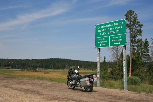
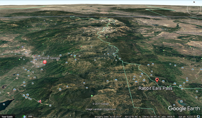
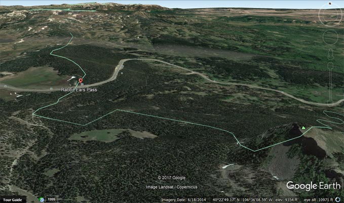
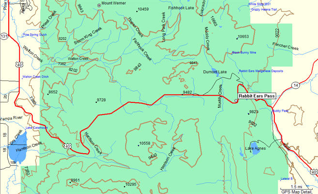
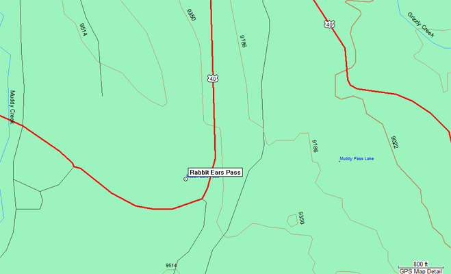
Rabbit Ears Pass
|
Rabbit Ears Pass |
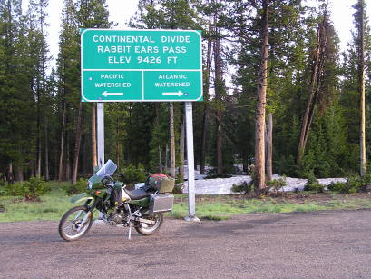
Rabbit Ears Pass - Grand/Jackson Counties - Colorado - 9,426 feet - On the Continental Divide
Muddy Creek to west. Grizzly Creek to east.
US-40 east of Steamboat Springs
pavement - road bike
photos by Randy Bishop, 08/5/2017

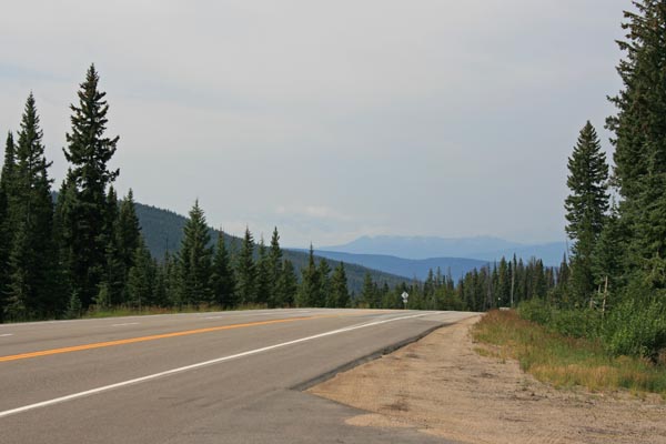
At the summit. |
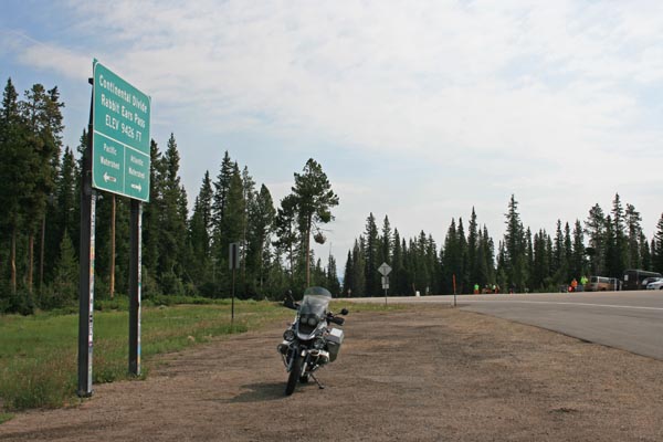
At the summit, looking west. |
At the summit, looking northeast. |
At the summit. |
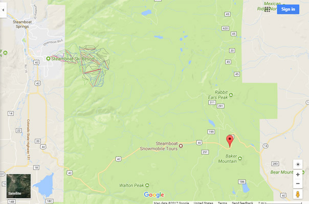
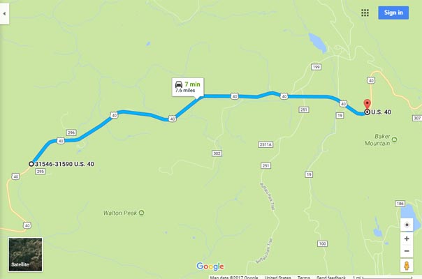
Google Maps |

Google Maps |
Google Earth |
Google Earth |
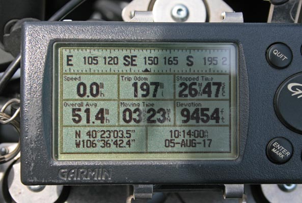
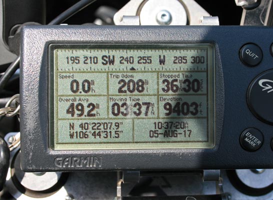
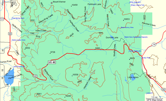
Garmin Mapsource |
Garmin Mapsource |
#35 - photos by Randy Bishop, 06/10/2006 (taking the long way to Moab)

At the summit. |
At the summit. |

At the summit, looking west. |
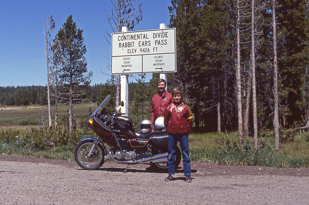
Randy and Phil at the summit. |
Notes and photos from Randy Bishop, 08/5/2017
Rabbit Ears Pass is on the Continental Divide, with Muddy Creek to the west (Pacific Ocean drainage) and Grizzly Creek to the east (Atlantic Ocean drainage).
The west summit is simply the top of the climb up US-40 from Steamboat Springs to the rolling plateau leading to Rabbit Ears Pass, about 7.5 miles away.
All the creeks west of the Continental Divide drain to the Pacific, including those in the vicinity of the west summit such as Watson and Harrison Creeks.
In other words, the west summit is not a watershed divide but just a geological feature and common name for that area.
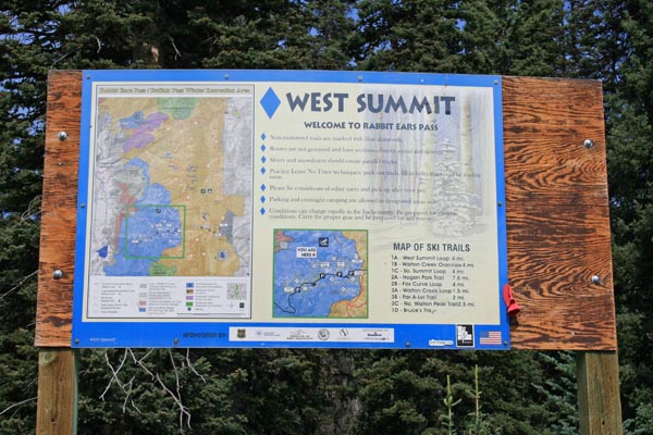
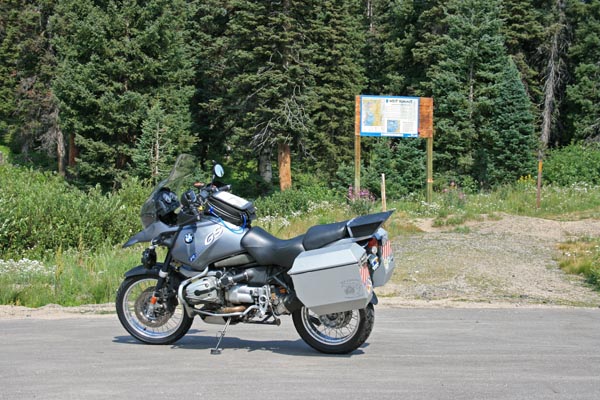
At the west summit. |
Looking north. |
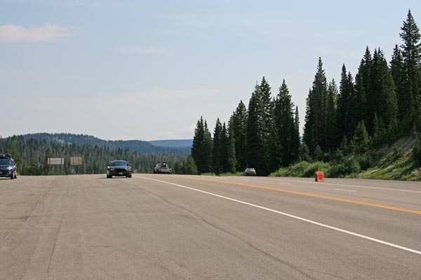
Looking east. |

Looking south. |
Looking west. |
At the west summit. |
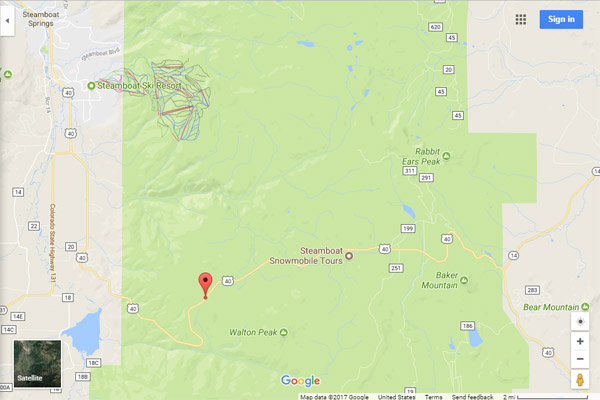
Google Maps |
Google Maps |
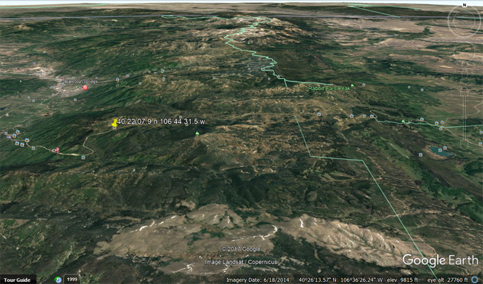
Google Earth |
Garmin Mapsource |
| Feature Name | ID | Class | County | State | Latitude | Longitude | Ele(ft) | Map | BGN Date | Entry Date |
| Rabbit Ears Pass | 172776 | Gap | Jackson | CO | 402305N | 1063642W | 9429 | Rabbit Ears Pass | 01-JAN-1969 | 13-OCT-1978 |