
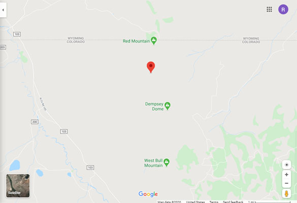
Red Mountain Pass
|
Red Mountain Pass |
Red Mountain Pass - Larimer County - Colorado - 8,220 feet
Pfister Draw to west. Stink Creek to east.
South of Wyoming border east of CR-103, between Red Mountain and Dempsey Dome.
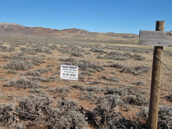
No access. Is on private property.
West of the summit. |

West of the summit. |
West of the summit. |
West of the summit. |

West of the summit. |
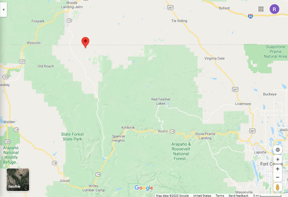
Google Maps |
Google Maps |
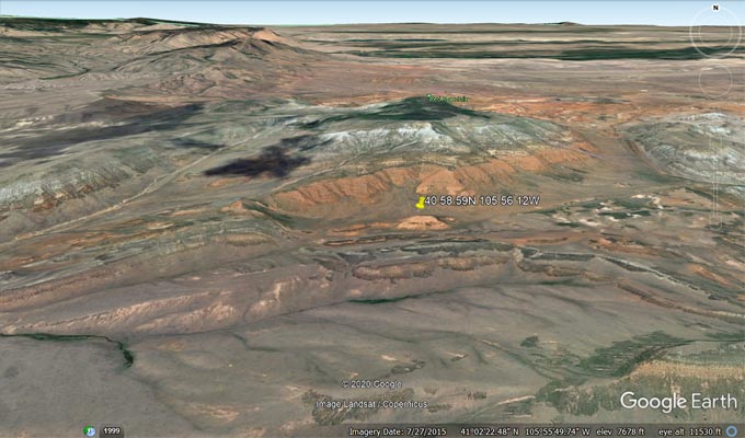
Google Earth |
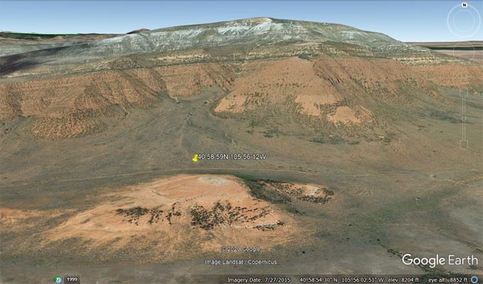
Google Earth |
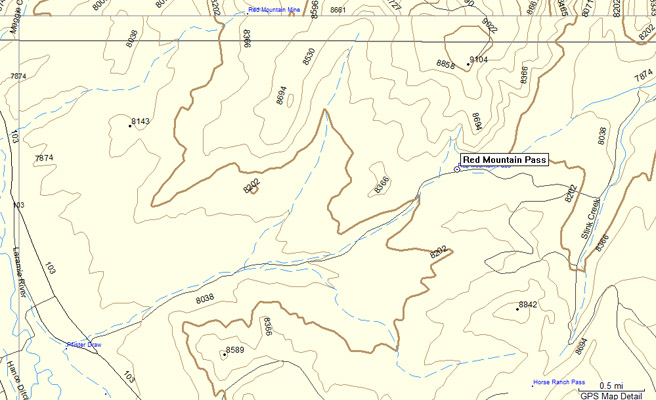
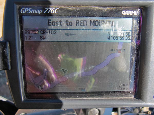
Garmin Mapsource |
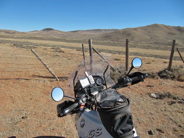
Notes from Karst: I tried to get to this pass Sunday. The track shown on the topo is in error, but with
the help of Google Earth I did find the start of a trail a little further north. I went in for about a
mile, passing a double set of gates, before winding up at a set of locked gates. (ed: "It was a BIG lock.")
The track seemed to very little used, but kept on going in the right direction. Google Earth clearly
indicates this is the road to the pass.
| Feature Name | ID | Class | County | State | Latitude | Longitude | Ele(ft) | Map | BGN Date | Entry Date |
| Red Mountain Pass | 170075 | Gap | Larimer | CO | 405859N | 1055612W | 8245 | Crazy Mountain | - | 13-OCT-1978 |