
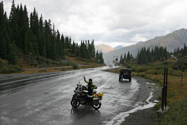
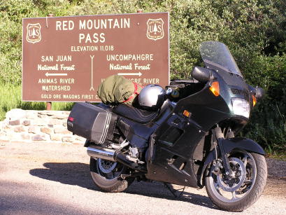
Red Mountain Pass
|
Red Mountain Pass |
Red Mountain Pass - Ouray / San Juan Counties - Colorado - 11,018 feet
Red Mountain Creek to north, Mineral Creek to south.
US-550 between Ouray and Silverton.
photos by Randy Bishop, 09/06/2018
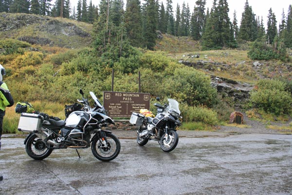
At the summit. |
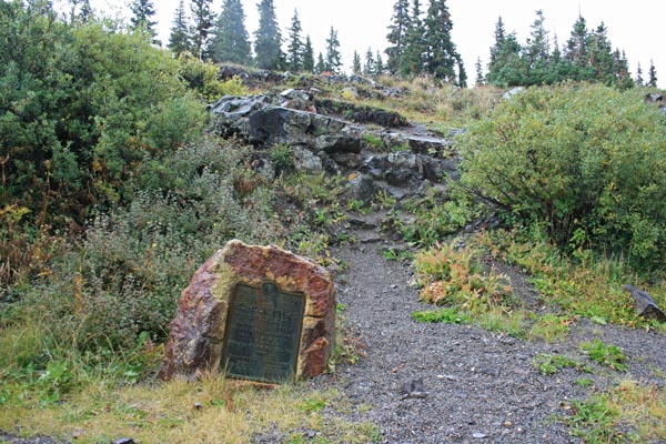
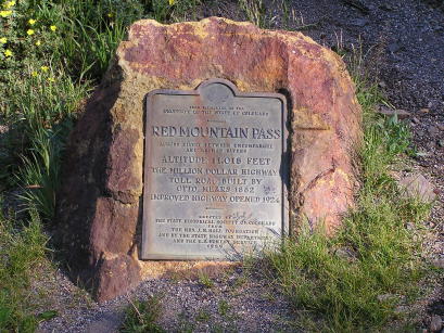
Vintage 1929 historical marker. |
Vintage 1929 marker. |
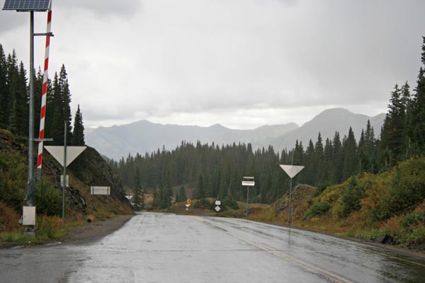
At the summit, looking north. |
At the summit, looking south. |
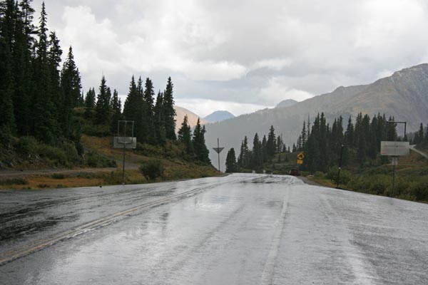
At the summit, looking south. |
At the summit. |
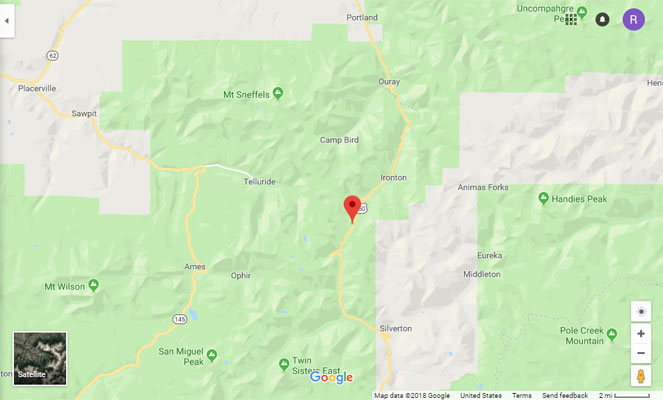
Google Maps |
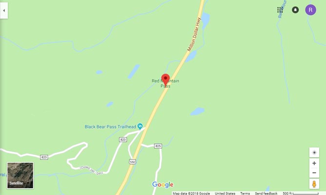
Google Maps |

Google Earth |
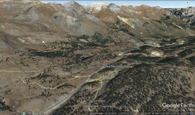
Google Earth |
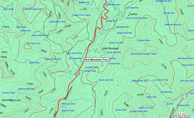
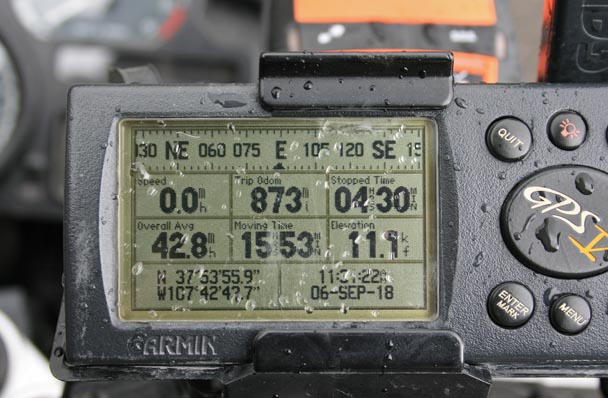
Garmin MapSource |
#51 - photos by Randy Bishop, 07/16/2006
At the summit. |
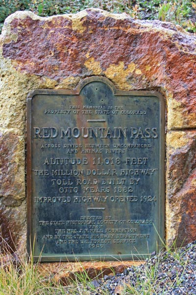
1929 bronze marker at the summit. |

1929 bronze marker at the summit. |

At the summit, looking south. |
The 1929-vintage
History Colorado (State Historical Society of Colorado) marker reads:
This memorial is the property of the State of Colorado. Red Mountain Pass. Across divide between
Uncompahgre and Animas Rivers. Altitude 11,018 feet. "The Million Dollar Highway" toll road built by
Otto Mears 1882. Improved highway opened 1924. Erected by the State Historical Society of Colorado from
the Mrs. J. N. Hall Foundation and by the State Highway Department and the U.S. Forest Service. 1929.
| Feature Name | ID | Class | County | State | Latitude | Longitude | Ele(ft) | Map | BGN Date | Entry Date |
| Red Mountain Pass | 187296 | Gap | Ouray | CO | 375356N | 1074243W | 11099 | Ironton | - | 13-OCT-1978 |