
Reno Divide
|
Reno Divide |
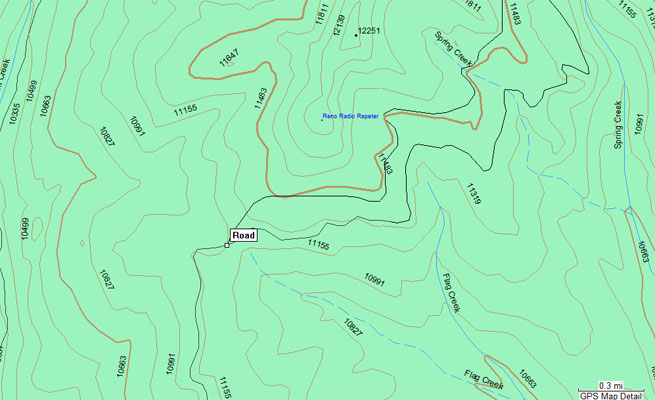
Reno Divide - Gunnison County - Colorado - 11,186 feet
Cement Creek to west. Flag Creek to east.
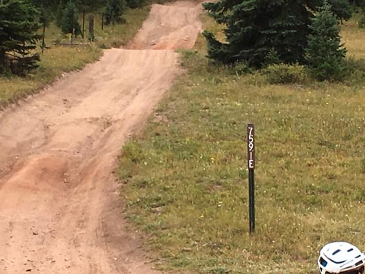
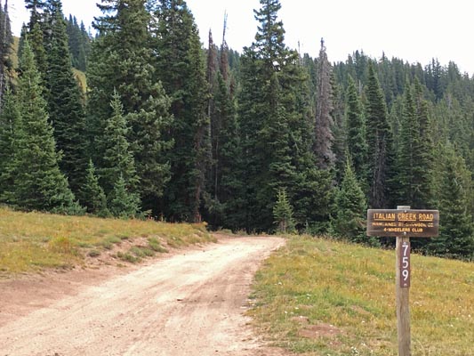
Northeast of Crested Butte via FR-740 (Cement Creek Road) and FR-759 (Italian Creek Road).
Or north of Almont via FR-742 and FR-744 (Spring Creek Road).
dirt - dirt bike or dual sport
photos by John Meyer, 9/10/2017
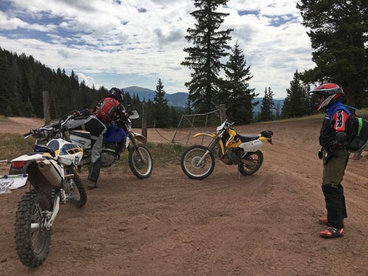
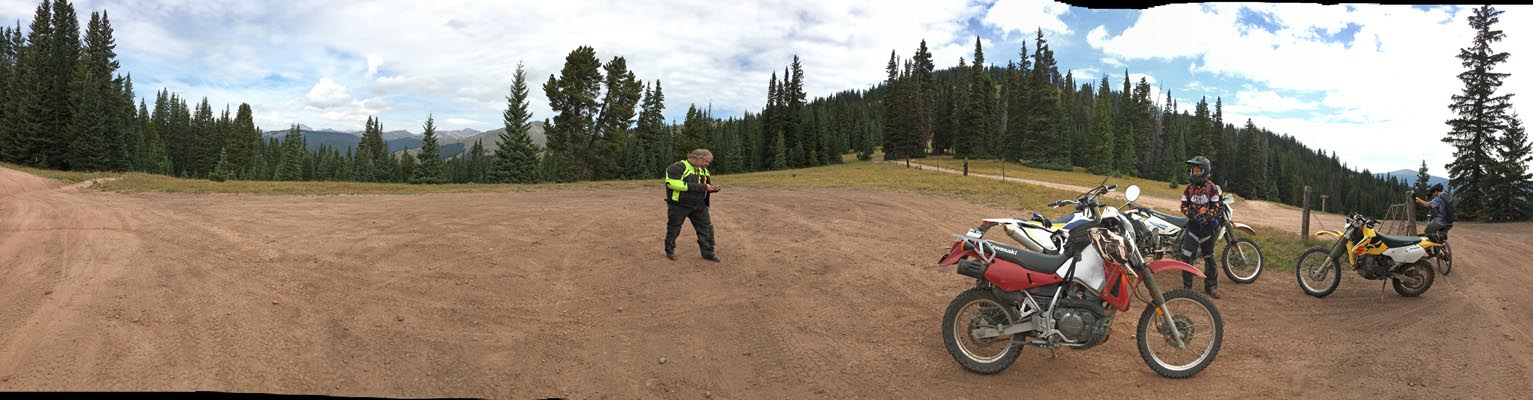
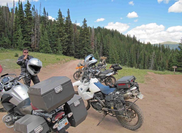
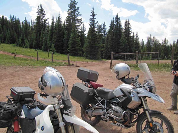
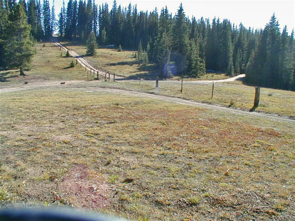
At the summit. |

At the summit. |
At the summit. |
At the summit. |
At the summit. |
At the summit. |

At the summit. |
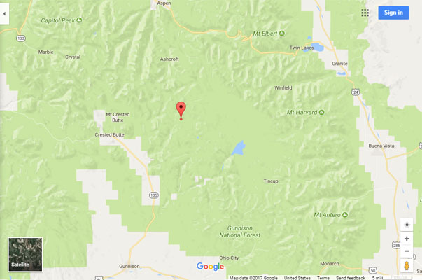
Google Maps |
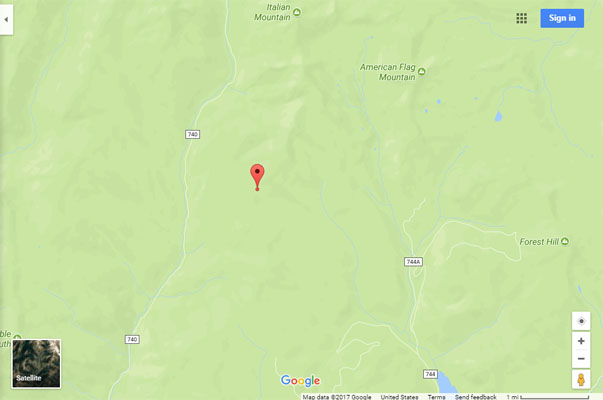
Google Maps |
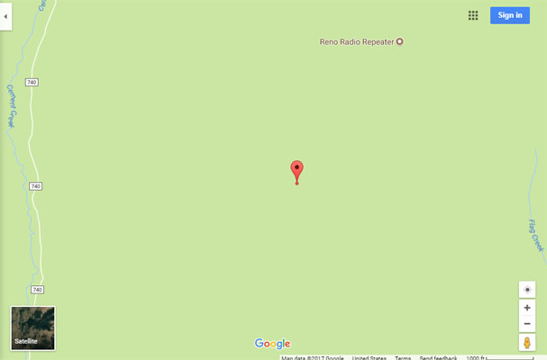
Google Maps |
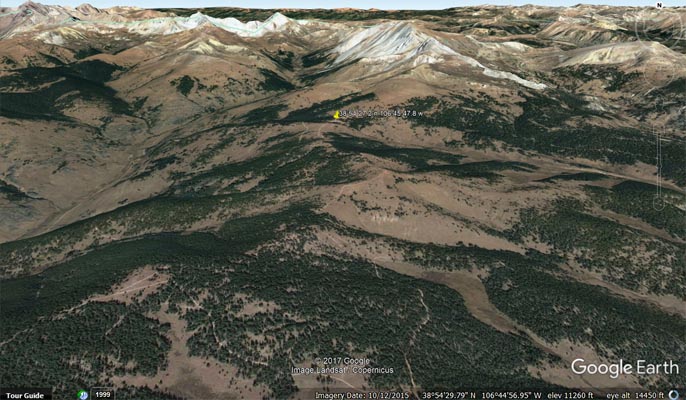
Google Earth, looking north. |

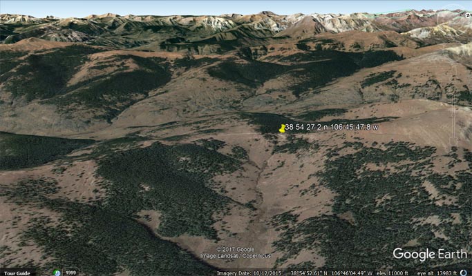
Google Earth, looking east. |
Google Earth, looking west. |
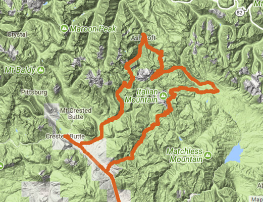
Gunnison - Reno Divide - Spring Creek Pass - Taylor Pass - Pearl Pass- Gunnison |
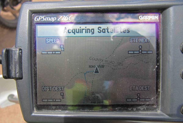
Garmin Mapsource |
Garmin Mapsource |
Notes from John: As you can see (on the https://rever.co track map) we approached Taylor Pass from the south after doing Reno Divide and Spring Creek Passes.
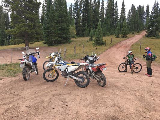
photos by Karst Postma, 7/26/2013
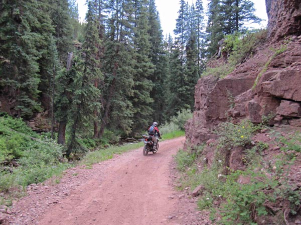
FR-740 |
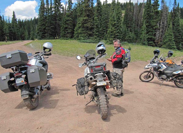
At the summit. |
At the summit. |

At the summit. |
At the summit. |
At the summit. |

At the summit. |
Notes from Karst: We arrived at Reno Divide from Crested Butte via FR-740, a fun, narrow road, full of "speed bumps" and few hairpins.
It can easily be done on a large dual sport bike with moderate skills from this direction.
When I got to the top I recognized the place from 4 or 5 years ago when I came in from the north on FR-759 on my Dakar.
I remember it was very difficult (for me) with many very rocky sections.
photo by John Burrall
Looking southwest at Reno Divide. |
| Feature Name | ID | Class | County | State | Latitude | Longitude | Ele(ft) | Map | BGN Date | Entry Date |
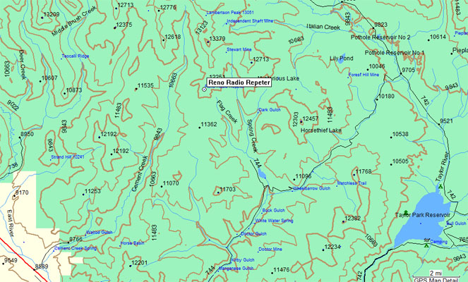
| Reno Radio Repeater | 197476 | Tower | Gunnison | CO | 385457N | 1064520W | 12093 | Pearl Pass | - | 01-JUL-1992 |