
Rifle Gap
|
Rifle Gap |
Rifle Gap - Garfield County - Colorado - 5,870 feet
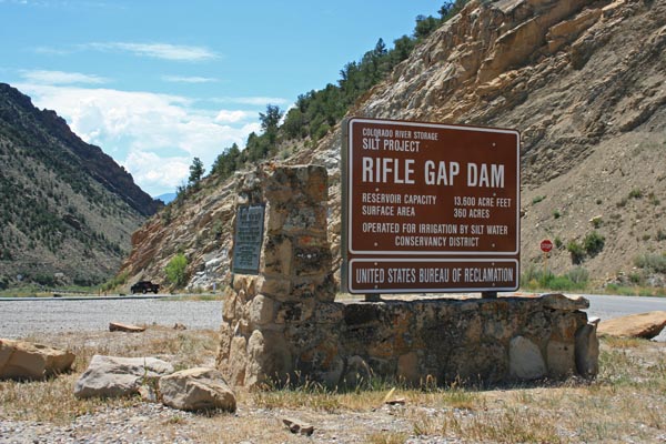
Rifle Creek flows through the gap.
About 6.5 miles north of Rifle on CO-325.
paved - road bike
#160 (gap) - photos by Randy Bishop, 7/19/2017
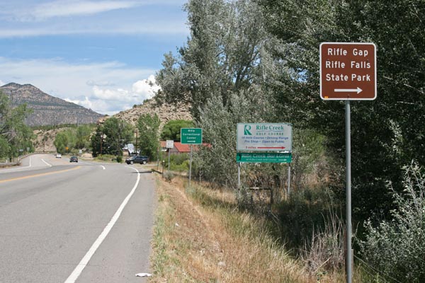
South of the gap. Sign shows the name 'Rifle Gap', indicating proximity. |
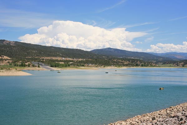
North of the gap. Rifle Gap Reservior, indicating proximity. |
North of the gap. Sign shows the name 'Rifle Gap', indicating proximity. |

North of the gap. Sign shows the name 'Rifle Gap', indicating proximity. |
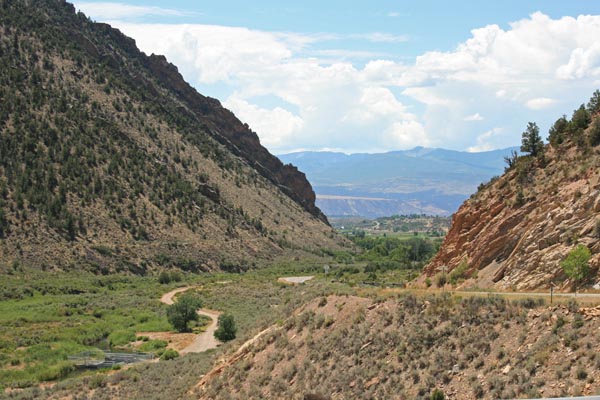
North of the gap, looking south. Shows the distinctive profile of the gap. |
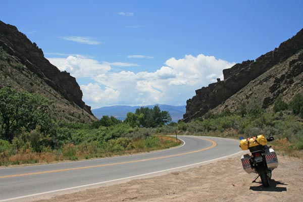
In the gap, looking south. Shows the distinctive profile of the gap. |
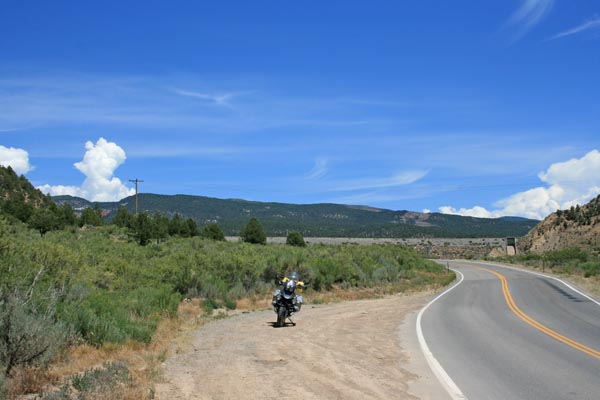
In the gap, looking north. |
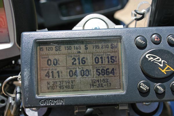
In the gap. Coordinates of safe parking spot are only 4/10 mile from the USGS coordinates. |
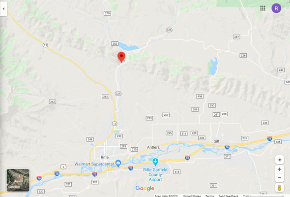
Google Maps |
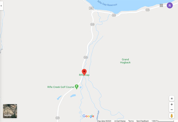
Google Maps |
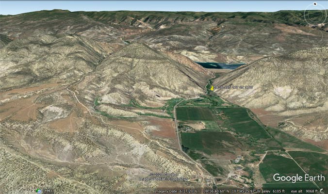
Google Earth |
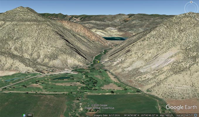
Google Earth |
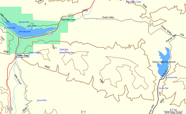
Garmin MapSource |
photos by Karst Postma, 6/8/2011
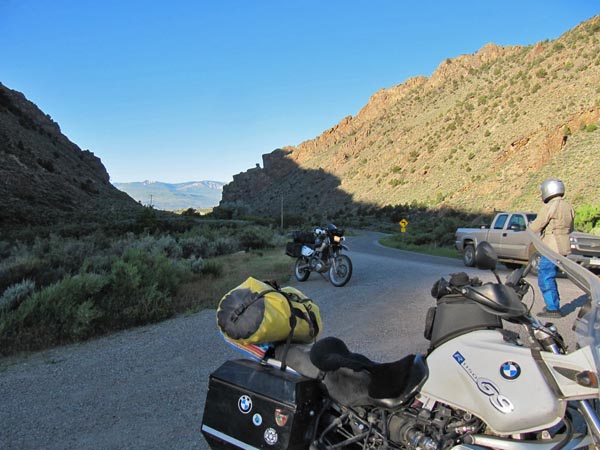
In the gap, looking south. Shows the distinctive profile of the gap. |
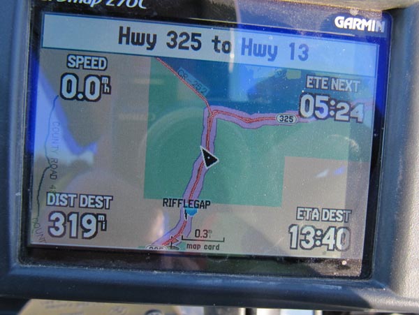
North of the gap. Display shows the lake and the finish waypoint of the gap. |

In the gap. Coordinates of safe parking spot are only 5/10 mile from the USGS coordinates. |
| Feature Name | ID | Class | County | State | Latitude | Longitude | Ele(ft) | Map | BGN Date | Entry Date |
| Rifle Gap | 174034 | Gap | Garfield | CO | 393659N | 1074551W | 5784 | Rifle | - | 13-OCT-1978 |