
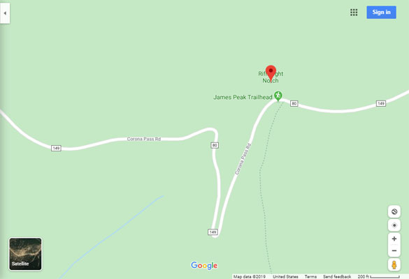
Riflesight Notch
|
Riflesight Notch |
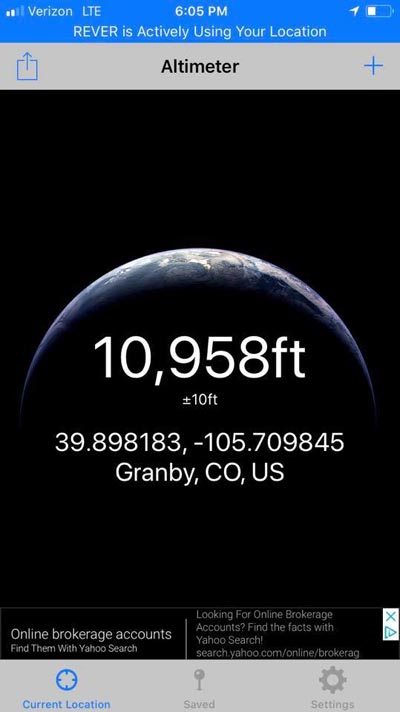
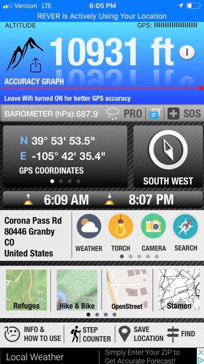
Riflesight Notch - Grand County - Colorado - 11,070 feet
Other name: Rifle Sight Notch
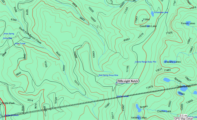
Middle Fork Ranch Creek to north. South Fork Ranch Creek to south.
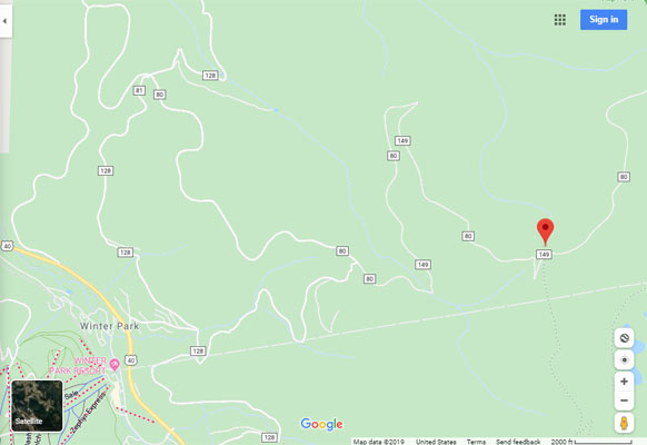
FR-149 (Rollins Pass Road) southeast of Winter Park
Gravel - dual sport
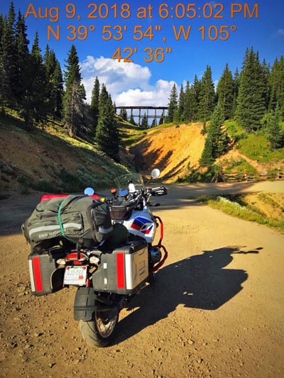
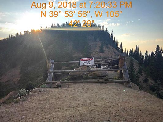
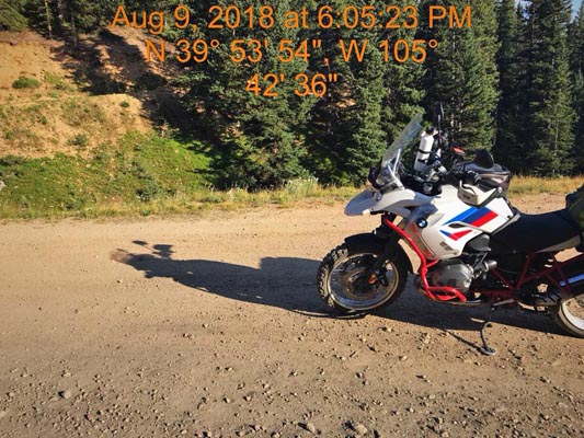
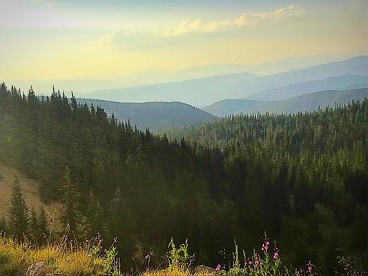
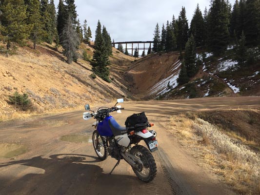
photos by Scott Westfall, 8/9/2018
On west side of the summit at caved-in entrance to Tunnel 33. |
At the summit and the Loop Trestle. |
At the summit and the Loop Trestle. |
Near the summit. |
At the summit. |
At the summit. |
Google Maps |
Google Maps |
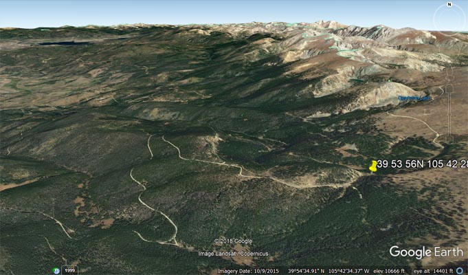
Google Earth |
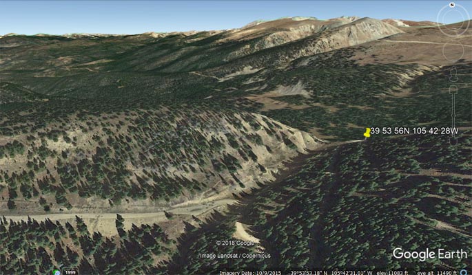
Google Earth |
Garmin MapSource |
photos by John Meyer, 10/30/2016
On west side of the summit at caved-in entrance to Tunnel 33. |
At the summit and the Loop Trestle. |
East of the summit, looking west. |
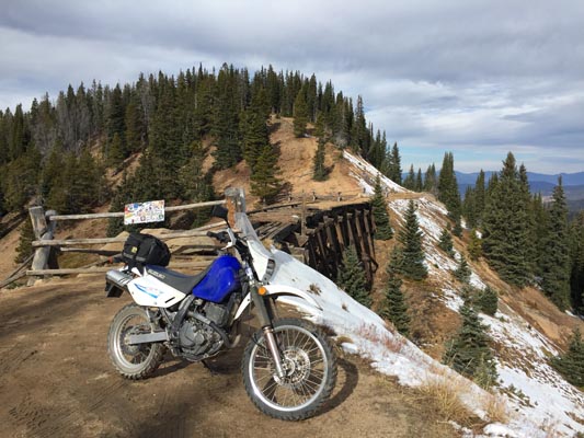
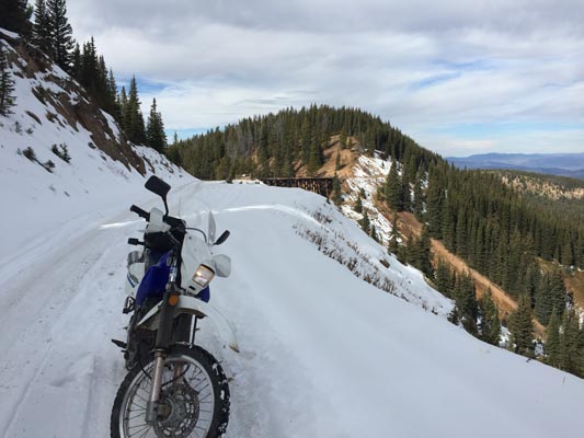
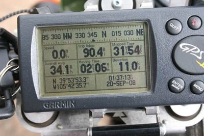
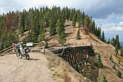
#124 - photos by Randy Bishop, 9/20/2008

On west side of the summit at caved-in entrance to Tunnel 33. |
On west side of the summit. |
At the summit and the Loop Trestle. |
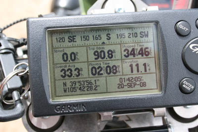
At the summit. |
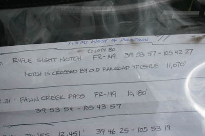
A 'map'. |
| Feature Name | ID | Class | County | State | Latitude | Longitude | Ele(ft) | Map | BGN Date | Entry Date |
| Riflesight Notch | 180975 | Gap | Grand | CO | 395357N | 1054229W | 11079 | East Portal | - | 13-OCT-1978 |