
Rock Creek Trail Pass
|
Rock Creek Trail Pass |
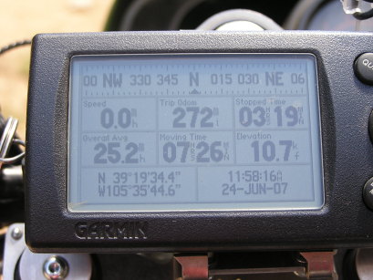
Rock Creek Trail Pass - Park County - Colorado - 10,670 feet
(other name - Lost Park Divide)
Long Gulch to west. South Fork Lost Creek to east.
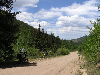
Southwest of Kenosha Pass on CR-56 (road to Lost Park campground).
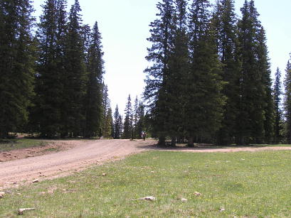
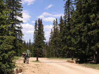
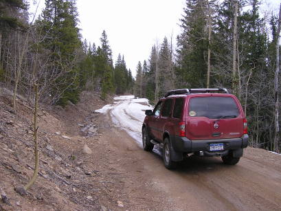
gravel, washboard - dual sport
#86 - photos by Randy Bishop, 6/24/2007
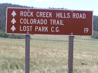
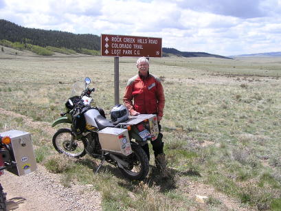
About 12 1/2 miles to the summit. |
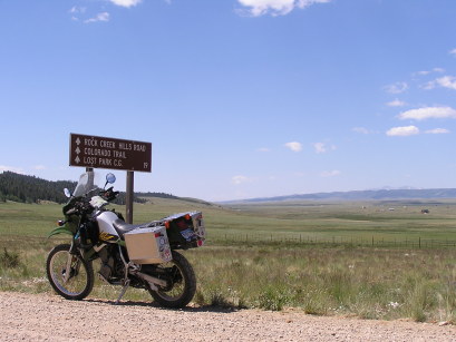
About 12 1/2 miles to the summit. |
At the summit, looking south. |
At the summit, looking north. |
At the summit. |
On the way back. |
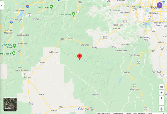
Google Maps |
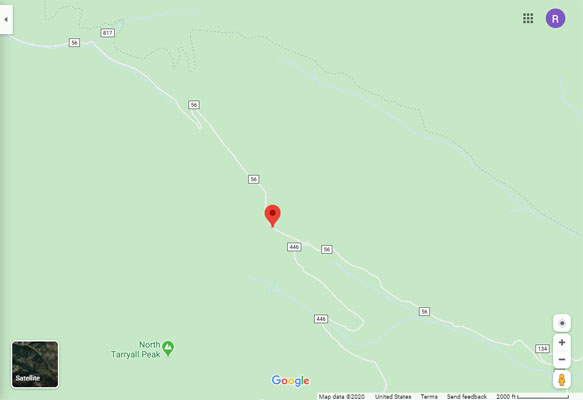
Google Maps |
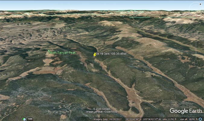
Google Earth, looking northwest. |
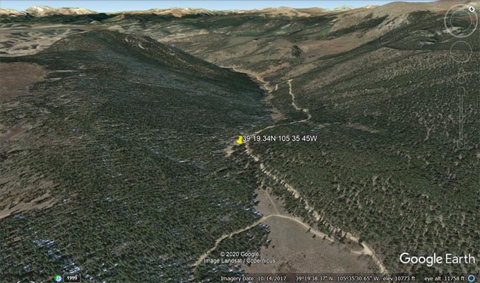
Google Earth, looking northwest. |
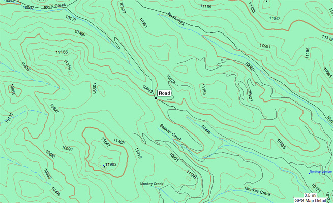
Garmin Mapsource |
photos by Randy Bishop, 4/29/2007 and 5/27/2007
April, stopped by snow short of the summit. |
May, on Lost Creek Road south of US-285. |
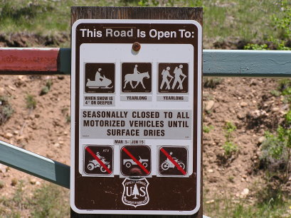
May, seasonal closure, Mar 1 - Jun 15. |
| Feature Name | ID | Class | County | State | Latitude | Longitude | Ele(ft) | Map | BGN Date | Entry Date |
| Rock Creek | 183219 | Stream | Park | CO | 391719N | 1054154W | 9029 | Observatory Rock | - | 13-OCT-1978 |