
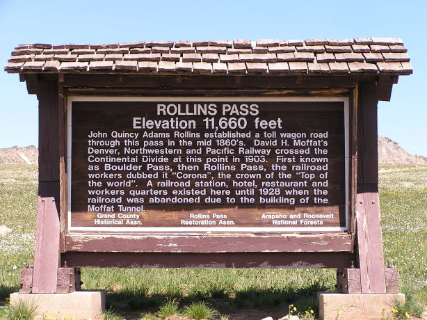
Rollins Pass
|
Rollins Pass |
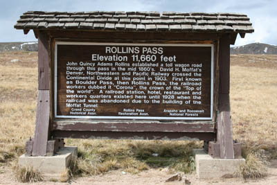
Rollins Pass - Boulder / Grand Counties - Colorado - 11,660 feet - On the Continental Divide.
(other names - Boulder, Corona)
Ranch Creek to west. South Fork Middle Boulder Creek to east.
FR-80 / FR-149 east of Winter Park ski area.
West side - gravel - road bike, but dual sport is better
East side - gravel - dual sport - (road is blocked east of the summit)
photos by Scott Westfall, 8/9/2018
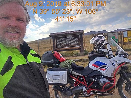
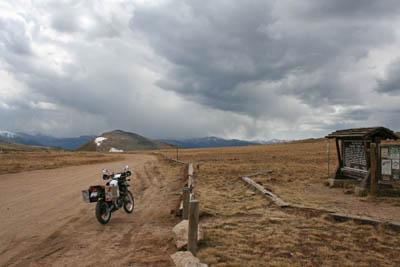
At the summit. |
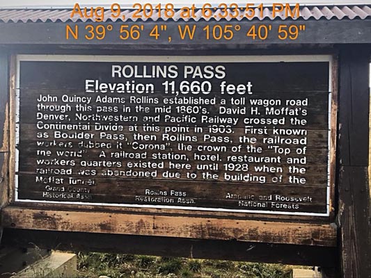
At the summit. |
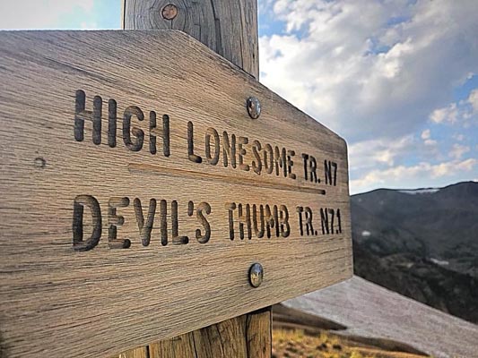
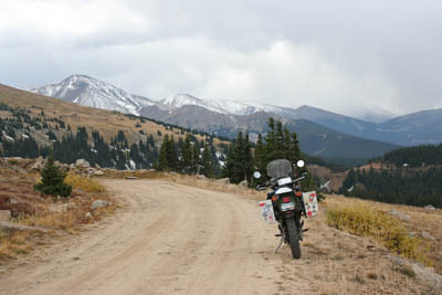
Near the summit. |
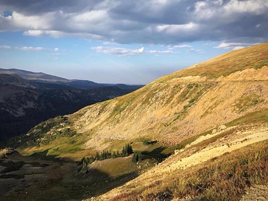
Near the summit. |
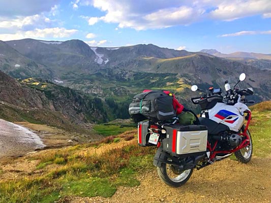
Near the summit. |
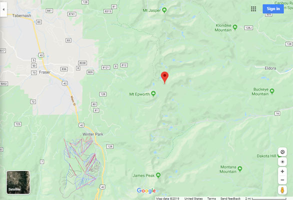
Google Maps |
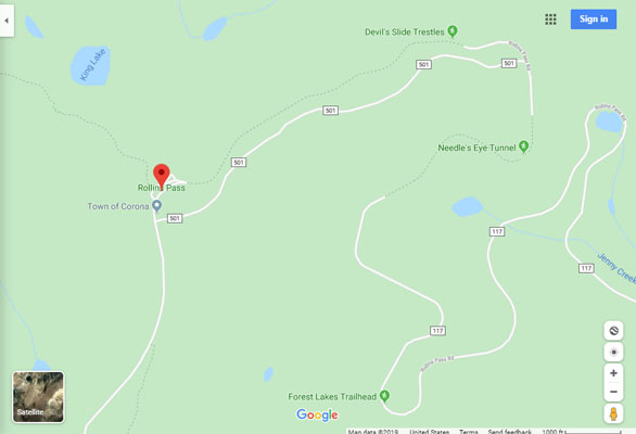
Google Maps |
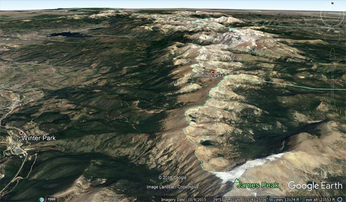
Google Earth |
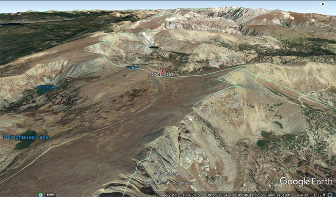
Google Earth |
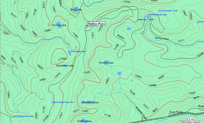
Garmin MapSource |
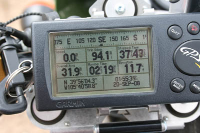
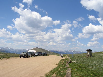
photos by Randy Bishop, 09/20/2008
At the summit, looking west. |

At the summit. |
At the summit. |
At the summit. |
West of the summit, looking west. |

West of the summit, looking northwest. |
#23 - photos by Randy Bishop, 07/30/2005
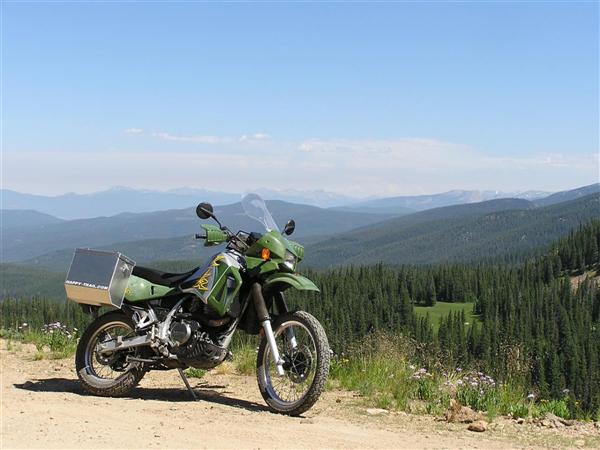
East of Winter Park on the way to the summit. |
At the summit. |

At the summit, looking north. |
At the summit, looking west. |
photo by Frank Van Cleave, 1910s
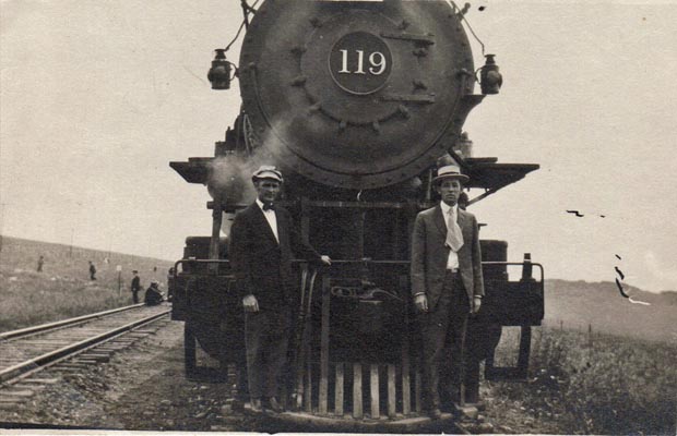
My grandfather Frank Van Cleave (on right) at the Rollins Pass summit in the 1910s. The 119 number plate on the locomotive reads, "American Loco. Co. 1910". David Moffat's railroad, the Moffat Line, later named the Denver and Salt Lake Railroad, almost exclusively used American Locomotive Company engines. |
| Feature Name | ID | Class | County | State | Latitude | Longitude | Ele(ft) | Map | BGN Date | Entry Date |
| Rollins Pass | 180996 | Gap | Boulder | CO | 395603N | 1054058W | 11676 | East Portal | 07-DEC-1904 | 13-OCT-1978 |