
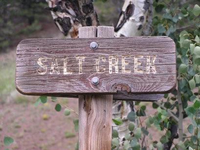
Salt Creek Pass
|
Salt Creek Pass |
Salt Creek Pass - Chaffee / Park Counties - Colorado - 9,716 feet
Salt Creek to north, Trout Creek to south.
FR-309 / FR-436 southwest of Fairplay
North side is closed Mar 1 - Jun 15.
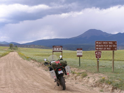
gravel - dual sport
#65 - photos by Randy Bishop, 08/11/2006
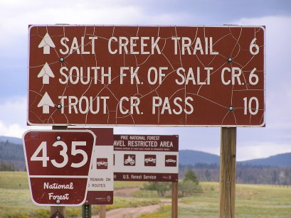
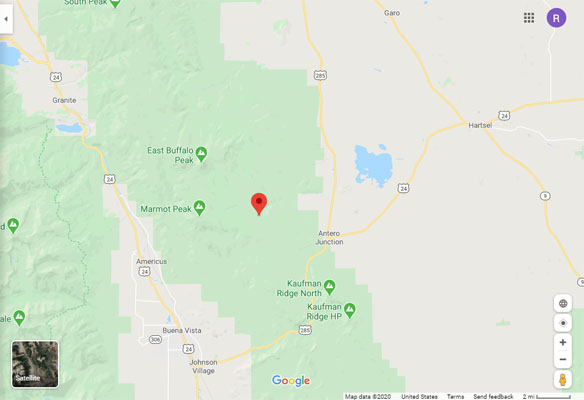
Just off US-285 2.1 miles north of Antero Junction. |
Just off US-285 2.1 miles north of Antero Junction. |
About 2 miles west of US-285. |

About 2 miles west of US-285. |

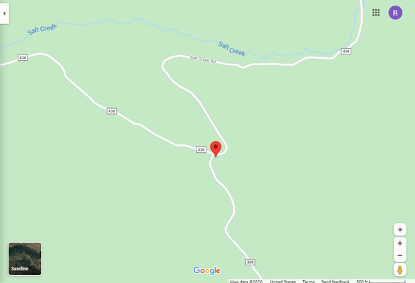
At the summit, intersection of FR-309 / FR-436. |
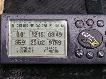
At the summit, intersection of FR-309 / FR-436. |
Google Maps |
Google Maps |
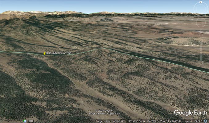
Google Earth |

Google Earth |
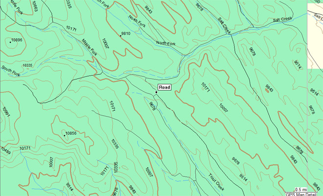
Garmin Mapsource |
photo by Karst Postma, 6/8/2011
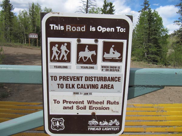
Salt Creek road on north side closed 3/1 - 6/15. |
| Feature Name | ID | Class | County | State | Latitude | Longitude | Ele(ft) | Map | BGN Date | Entry Date |
| South Fork Salt Creek | 189223 | Stream | Park | CO | 385649N | 1060337W | 9764 | Marmot Peak | - | 13-OCT-1978 |
| Trout Creek | 189227 | Stream | Chaffee | CO | 384806N | 1060527W | 7854 | Buena Vista East | - | 13-OCT-1978 |