
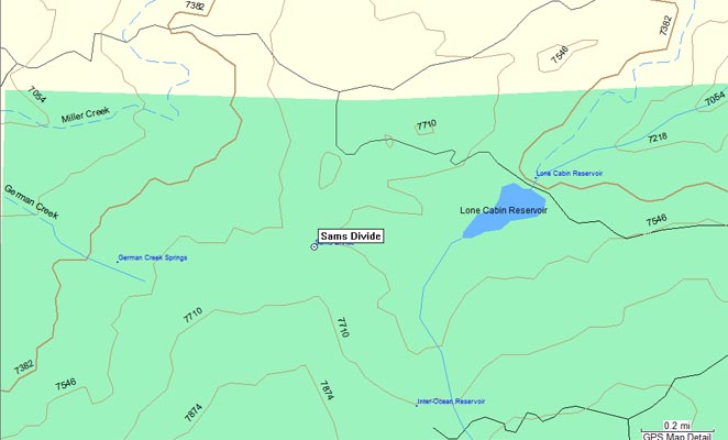
Sams Divide
|
Sams Divide |
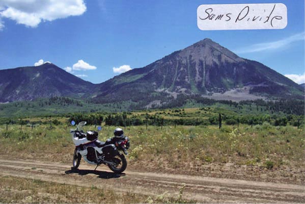
Sams Divide - Delta County - Colorado - 7,620 feet
German Creek to west. Sams Creek to east.
About 5 miles southeast of Paonia via Dry Gulch Rd and Lone Cabin Rd (FR-798), and 1/4 mile south of Lone Cabin Rd.
As of September 2018 or before, no access by motorcycles. Sams Divide is restricted by the USFS to foot and horse.
Notes from Scott Westfall, September 2018:
I'm a Colorado resident and a motorcycle rider. While in Paonia last weekend, I was looking at riding down to a geographic feature called Sam's Divide
at approximately 38°50'04"N 107°31'19"W (south of Lone Cabin Road, and west of the reservoir). I didn't see a designated trail marker for access down
the hill to the saddle. Made me think twice, and I didn't take the trek down the hill. After I got home, I checked my USFS boundary data on Google Earth.
Looks like this location falls inside a "no roads" area within the Gunnison NF boundary. I'd like to get an official ruling on vehicular access to this
point so as to pass along to other riders whether or not it's a viable destination. Thank you.
Reply from Albert Borkowski, Special Uses Program Manager, Gunnison National Forest, Paonia Ranger District:
Hi Scott, Thanks for doing it right! I have attached our current motor vehicle use map which indicates the open travel routes on
the forest. You are correct, Sam’s Divide is restricted to foot and horse. Please contact me if you require further assistance.
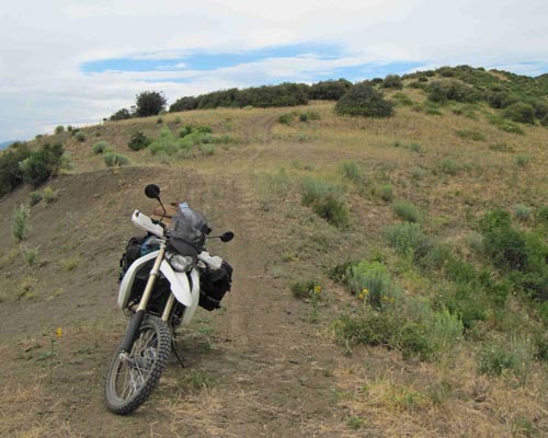
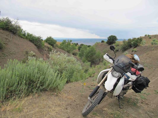
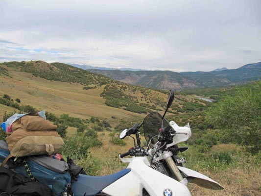
photos by John Meyer, 7/19/2017
At the summit. |
At the summit. |
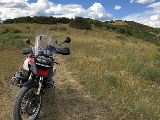
At the summit. |

At the summit. |
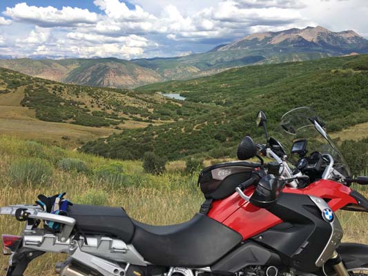
At the summit. |
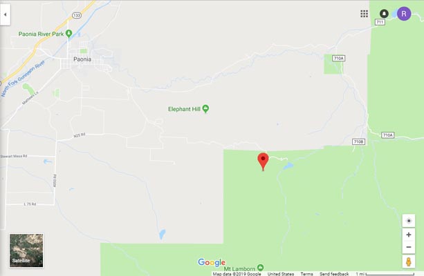
Google Maps |
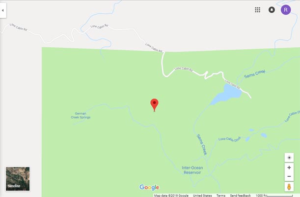
Google Maps |
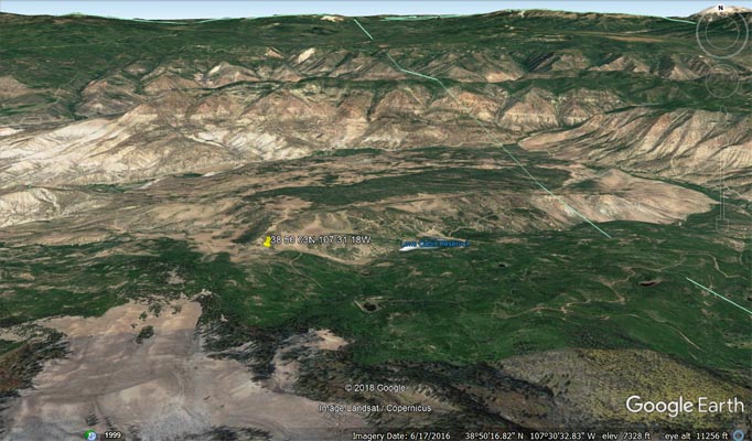
Google Earth, looking north. |
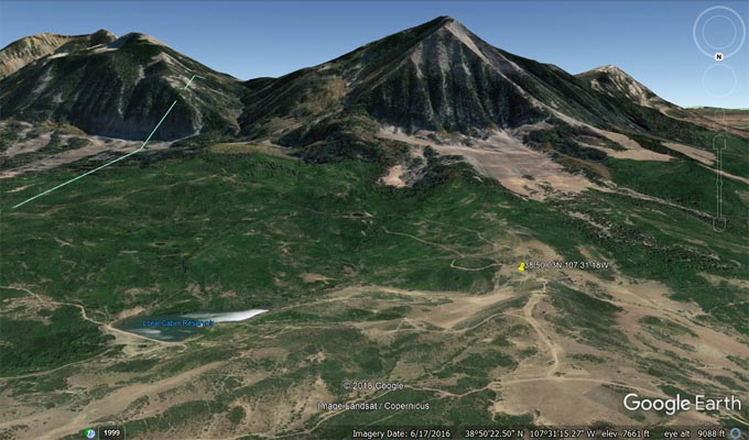
Google Earth, looking south. |
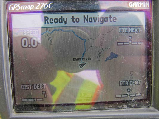
Garmin MapSource |
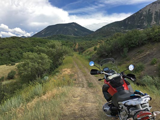
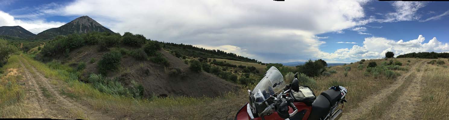
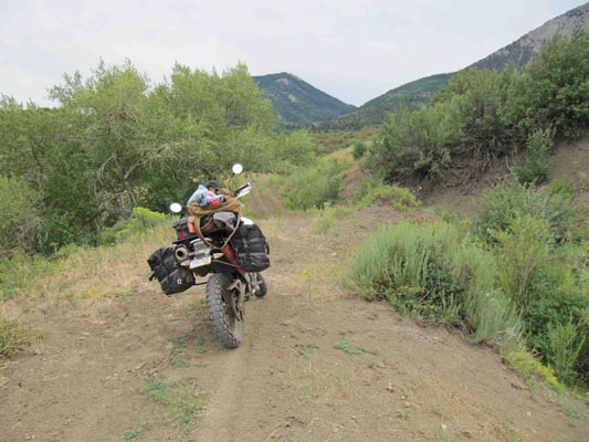
photos by Karst Postma, 7/24/2013
At the summit. |
At the summit. |
At the summit. |
At the summit. |
At the summit. |

At the summit. |
Notes from Karst: Six miles out of Paonia. Take Dry Gulch Rd. After a mile out of town the asphalted
road splits. Take the left branch (still Dry Gulch Rd). After another mile the dirt road splits. Take
the left again onto Lone Cabin Rd. If you get to Lone Cabin Reservoir, go back a little bit to the
previous road split and go south instead of east. There are several short but steep sections that are
impassable when wet due to the mud. Otherwise the divide is accessible by big dual sport bike.
photo by Carl Thomte
At the summit. |
| Feature Name | ID | Class | County | State | Latitude | Longitude | Ele(ft) | Map | BGN Date | Entry Date |
| Sams Divide | 186561 | Gap | Delta | CO | 385004N | 1073119W | 7608 | Paonia | - | 13-OCT-1978 |