
Sangre de Cristo Pass
|
Sangre de Cristo Pass |
Sangre de Cristo Pass - Costilla / Huerfano Counties - Colorado - 9,468 feet
Other names - Gap of the Sierra Blanca, Taos Trail, Trappers Trail
South Oak Creek to east. Sangre de Cristo Creek to west.
West of La Veta, north of US-160 and La Veta Pass.
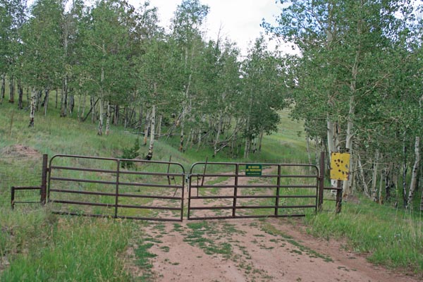
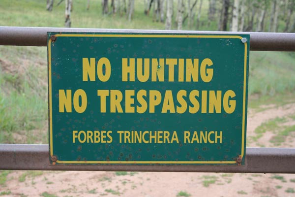
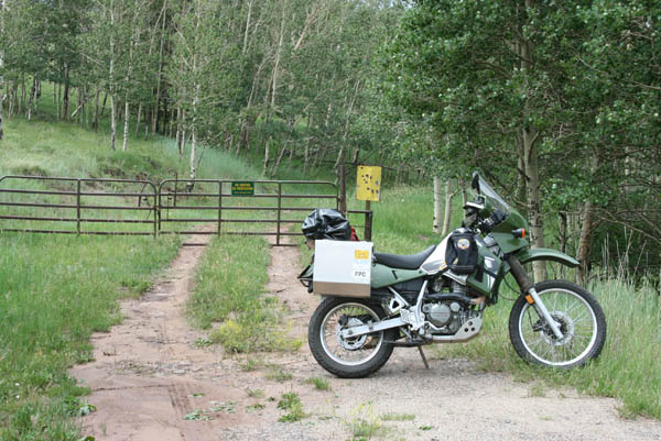
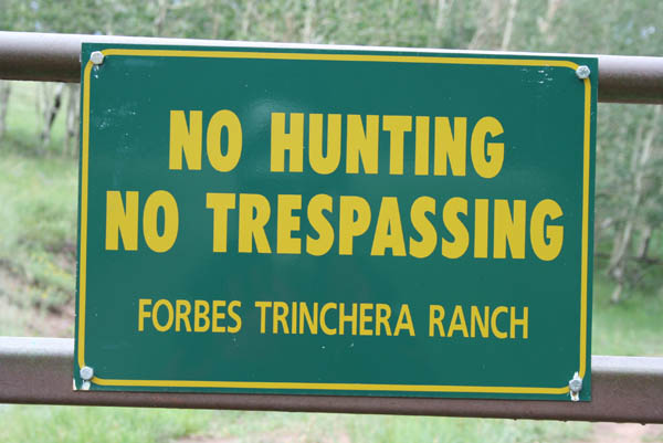
No access, private property.
The gate is about 890 feet from the summit.
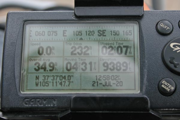
photos by Randy Bishop, 7/21/2020
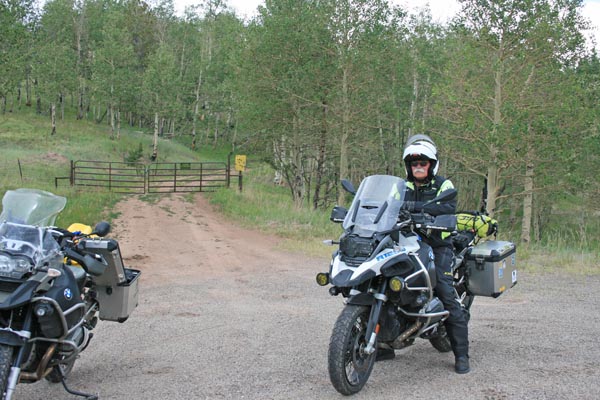
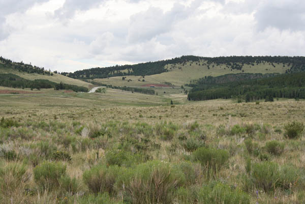
At the gate. |
At the gate. |
At the gate. |
At the gate. |
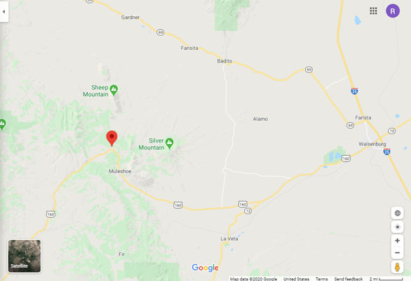
Google Maps |
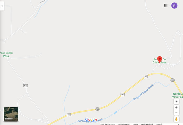
Google Maps |
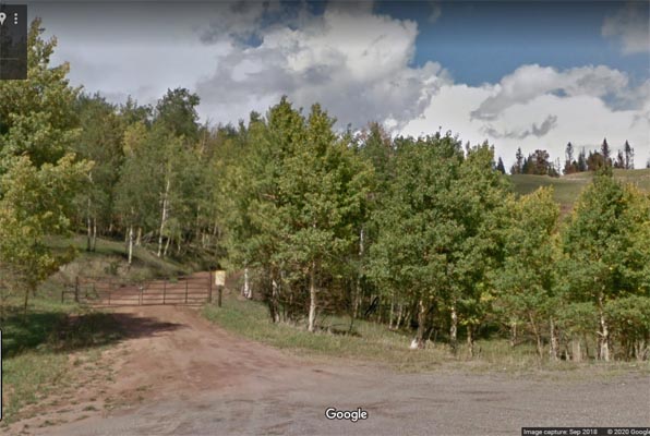
Google Maps, 9/2018 |
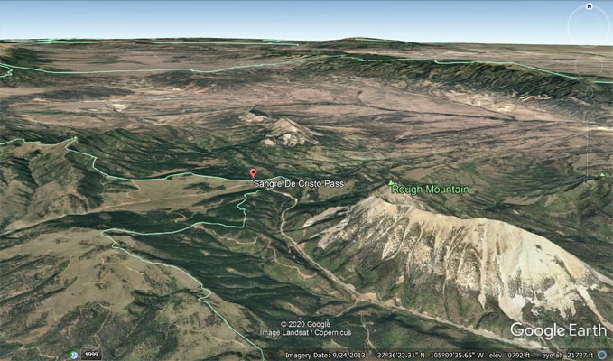
Google Earth |
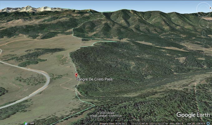
Google Earth, looking west |
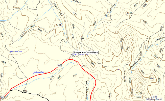
Garmin Mapsource |
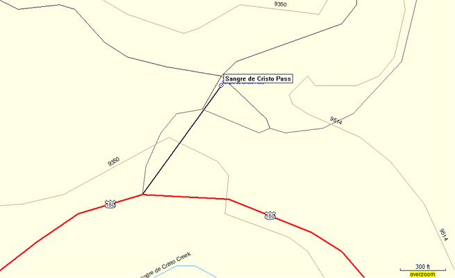
Garmin Mapsource |
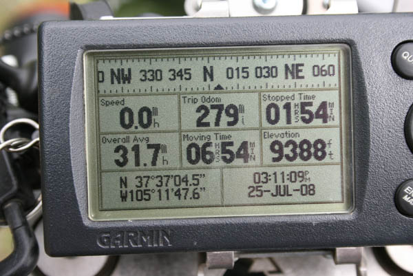
photos by Randy Bishop, 7/25/2008
Looking northeast toward summit. |
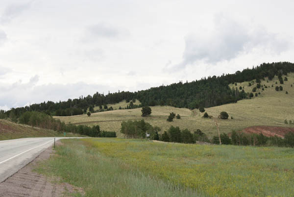
Looking northeast toward summit. |
At the gate. |
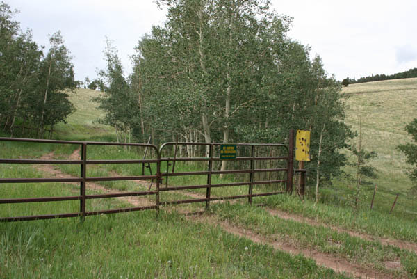
At the gate. |
At the gate. |
At the gate. |
| Feature Name | ID | Class | County | State | Latitude | Longitude | Ele(ft) | Map | BGN Date | Entry Date |
| Sangre de Cristo Pass | 192775 | Gap | Costilla | CO | 373710N | 1051142W | 9468 | La Veta Pass | 01-JAN-1965 | 13-OCT-1978 |