
San Luis Pass
|
San Luis Pass |
San Luis Pass - Mineral / Saguache Counties - Colorado - 11,960 feet on the Continental Divide
Cascade Creek to north. West Willow Creek to south.
Southeast of Lake City, 2 miles southwest of San Luis Peak, on Forest Service trail #467.
San Luis Pass is crossed by the Skyline Trail, the Colorado Trail and the Continental Divide Trail.
hiking trail
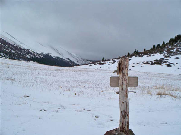
photos by John Burrall

The signage at San Luis Pass. |
Looking south from San Luis Pass on a blustery October afternoon. |
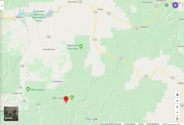
Google Maps |
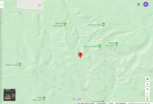
Google Maps |
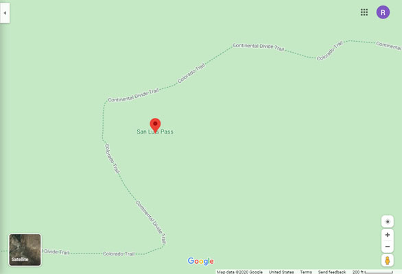
Google Maps |
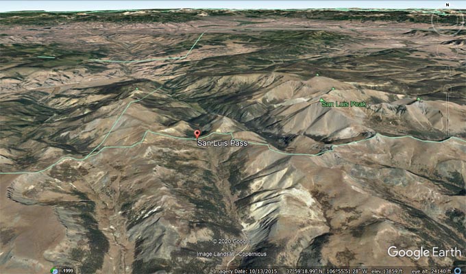
Google Earth |
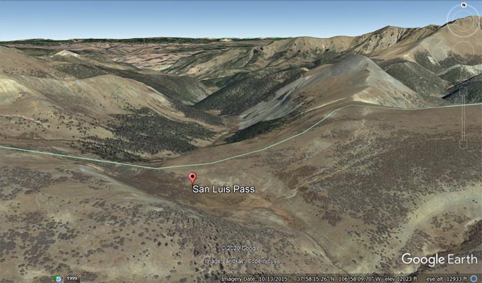
Google Earth |
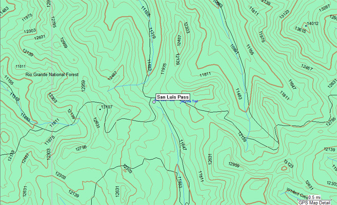
Garmin Mapsource |
| Feature Name | ID | Class | County | State | Latitude | Longitude | Ele(ft) | Map | BGN Date | Entry Date |
| San Luis Pass | 1900464 | Gap | Saguache | CO | 375814N | 1065822W | 11929 | San Luis Peak | - | 13-OCT-1978 |
| San Luis Peak | 1900463 | Summit | Saguache | CO | 375913N | 1065553W | 14002 | San Luis Peak | - | 13-OCT-1978 |