
Schofield Pass
|
Schofield Pass |
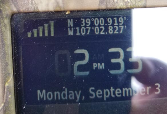
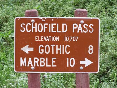
Schofield Pass - Gunnison County - Colorado - 10,707 feet
(other name - Crystal, East River, Elk Mountain Divide, Gothic)
South Fork of the Crystal River to north. East River to south.
Forest Road 317 (Gothic Road) on south, Forest Road 314 on north.
North approach, via Marble - One of the toughest in the state.
Southeast approach, via Gothic - gravel, dirt, could be very muddy when wet - dual sport.
Southwest approach, via Slate River Road and Paradise Divide - rocky, steep in places,
some shallow stream crossings - dual sport
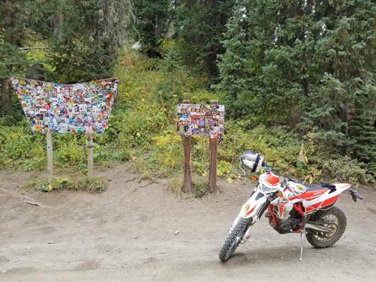
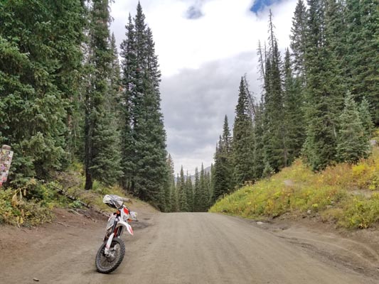
photos by Dave Vining, 9/3/2018
At the summit. |
At the summit. |
At the summit. |

Google Maps |
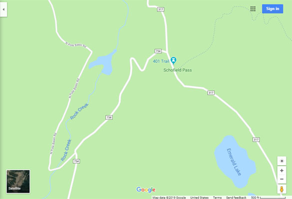
Google Maps |
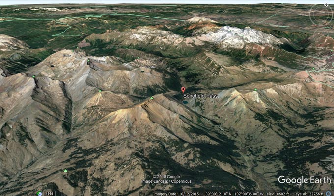
Google Earth, looking northwest. |
Google Earth, looking northwest. |
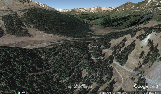
Google Earth, looking southeast. |
Garmin MapSource |
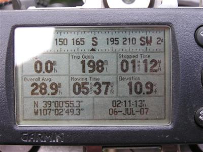
#95 - photos by Randy Bishop, 7/6/2007
At the summit. |

At the summit. |
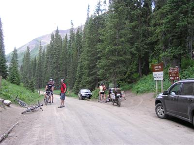
At the summit, looking south. |
At the summit. |
photo by Steve Mallinson
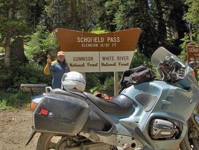
At the summit. |
| Feature Name | ID | Class | County | State | Latitude | Longitude | Ele(ft) | Map | BGN Date | Entry Date |
| Schofield Pass | 175587 | Gap | Gunnison | CO | 390054N | 1070248W | 10722 | Snomass Pass | - | 13-OCT-1978 |