
Serviceberry Gap
|
Serviceberry Gap |
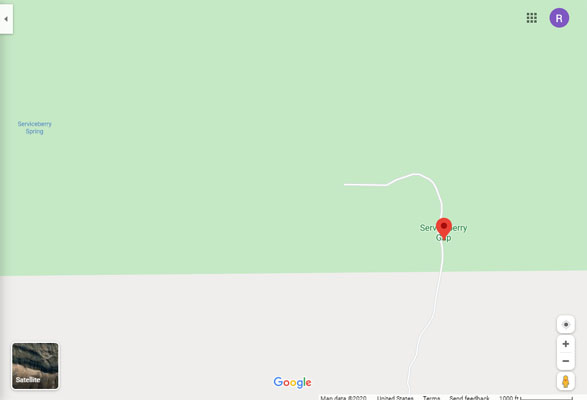
Serviceberry Gap - Moffat County - Colorado - 8,058 feet
Yampa River to north. Wolf Creek to south.
West of Maybell on US-40, then northwest on CR-16.
Dirt two-track - dual sport
photos by Karst Postma, 5/21/20127
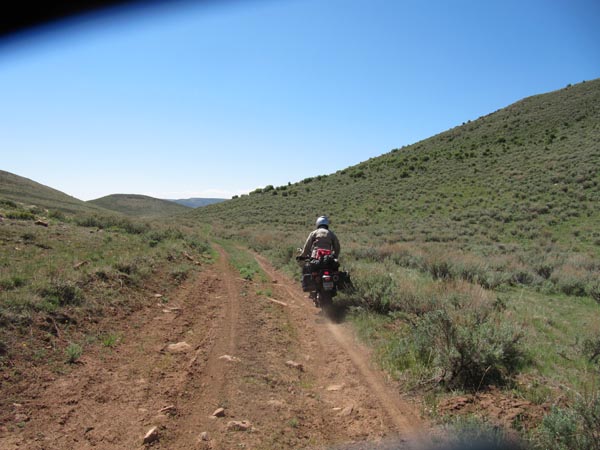
Short of the summit. |
Short of the summit. |
Heading back south. |
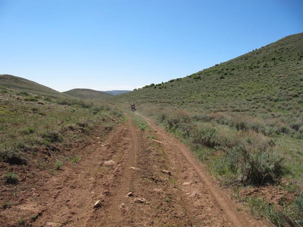
Heading back south. |
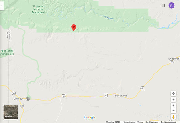
Google Maps |
Google Maps |
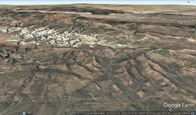
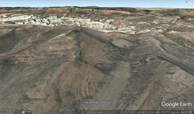
Google Earth |
Google Earth |
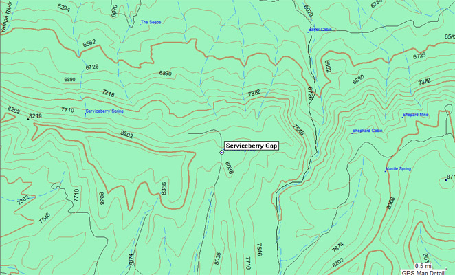
Garmin Mapsource |
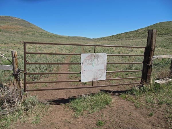
According to Helmuth's, Serviceberry Gap is on Dinosaur National Monument land, and access has been blocked from both sides.
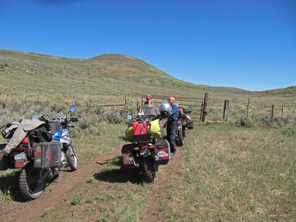
From Karst - We attempted to get to it from the south. Right away from CR-16 it is posted as private road. We went a
couple of miles down this road until we came to a locked gate, about 1.5 mile short of the gap. Based on the topo I do
not believe there is access from the north.
| Feature Name | ID | Class | County | State | Latitude | Longitude | Ele(ft) | Map | BGN Date | Entry Date |
| Serviceberry Gap | 170768 | Gap | Moffat | CO | 402549N | 1084846W | 8051 | Tanks Peak | - | 13-OCT-1978 |