
Seven Lakes Pass
|
Seven Lakes Pass |
Seven Lakes Pass - El Paso County - Colorado - 11,050 feet
other name: Dead Lake
Ruxton Creek to north. Middle Beaver Creek to south.
West of Colorado Springs on land owned by Colorado Springs Water Department.
no public access
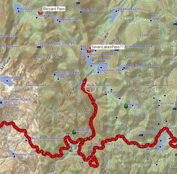
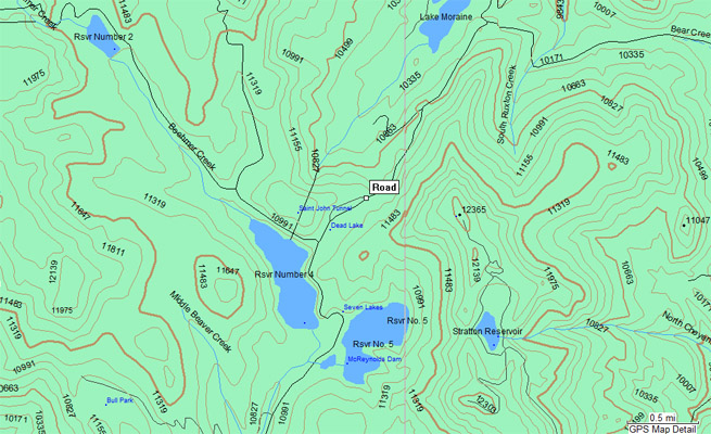
topographic map |

topographic map |
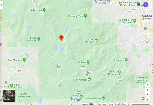
Google Maps |
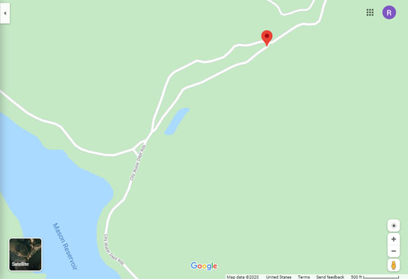
Google Maps |
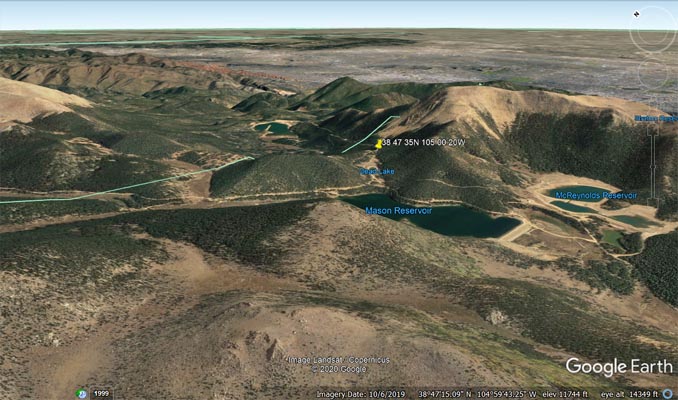
Google Earth, looking northeast. |
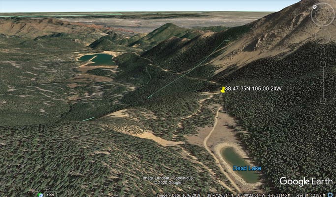
Google Earth, looking northeast. |
Garmin Mapsource |
Notes from Karst: Today we tried to find a way to Seven Lakes Pass and Blizzard Pass. From Gold Camp Road
we went north on Road 376. As the attached track shows we had to turn around at a big, solid Colorado Springs
Utilities gate. Apparently there have been discussions for years in the Colorado Springs council to open up this
area, but in May 2012 it is still closed. They have only been at it for 2 years, so it may take another decade or so.
| Feature Name | ID | Class | County | State | Latitude | Longitude | Ele(ft) | Map | BGN Date | Entry Date |
| Seven Lakes (historical) | 191253 | Populated Place | Teller | CO | 384654N | 1050031W | 10984 | Pikes Peak | - | 13-OCT-1978 |
| Dead Lake | 191239 | Lake | Teller | CO | 384725N | 1050036W | 11014 | Pikes Peak | 13-OCT-1978 | 25-OCT-2018 |
| South Ruxton Creek | 193432 | Stream | El Paso | CO | 385035N | 1045821W | 8881 | Manitou Springs | - | 13-OCT-2018 |
| Middle Beaver Creek | 191248 | Stream | Teller | CO | 384229N | 1050339W | 8983 | Big Bull Mountain | - | 13-OCT-2018 |