
Sharkstooth Pass
|
Sharkstooth Pass |
Sharkstooth Pass - Montezuma County - Colorado - 11,936 feet
Mancos River to west. Bear Creek to east.
About 20 miles northeast of Mancos, on Forest Trail 620 between Sharkstooth Peak and Hesperus Mountain.
hiking trail
photo from Leif Rudd, 2012
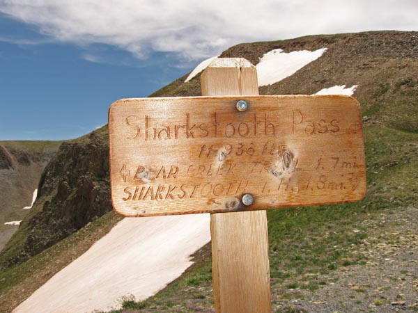
At the summit. |
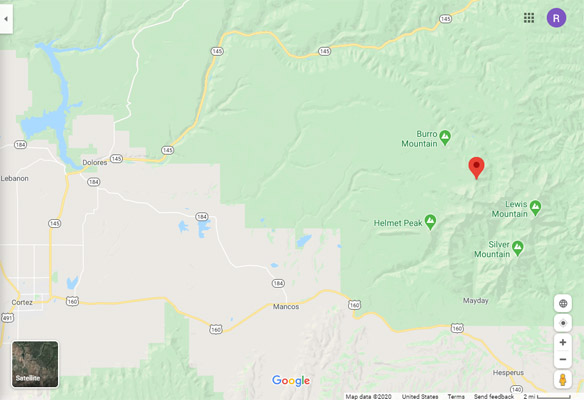
Google Maps |
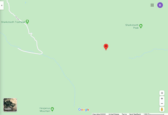
Google Maps |
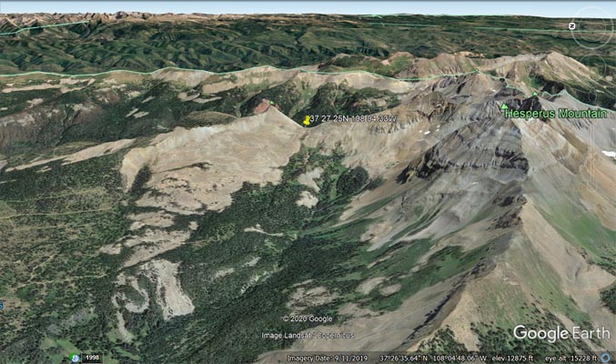
Google Earth, looking east. |
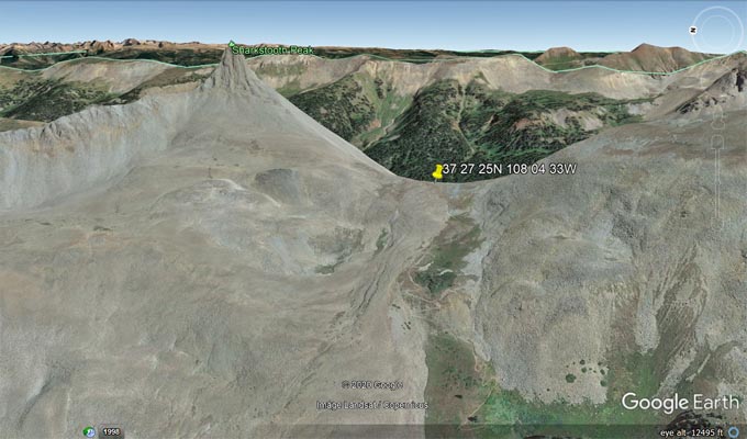
Google Earth, looking east. |
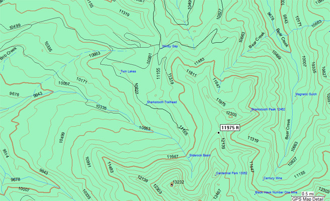
Garmin Mapsource |
| Feature Name | ID | Class | County | State | Latitude | Longitude | Ele(ft) | Map | BGN Date | Entry Date |
| Sharkstooth Peak | 1788926 | Summit | Montezuma | CO | 372735N | 1080423W | 12467 | La Plata | - | 03-JUL-2019 |
| Sharkstooth Trailhead | 197168 | Locale | Montezuma | CO | 372746N | 1080545W | 10922 | La Plata | - | 01-DEC-1991 |